Socios de Turismo
 Experience Oz
 Tiaki Promise
 InsureandGo
 Maui
Maui Britz
Britz Apollo CamperVans
 Camplify
 Qld Music Trails
 Tourism Noosa
 Tourism Northern Territory
 Tourism Western Australia
Experience OzTiaki PromiseInsureandGoMauiBritzApollo CamperVansCamplifyQld Music TrailsTourism NoosaTourism Northern TerritoryTourism Western AustraliaWalking & HikingMackenzie, Canterbury New Zealand 🇳🇿

10 Reseñas
It was windy as fuck. Also, the streams were really dangerous to cross after yesterday's rain. We almost died like three times but it was the best hike so far. Beautiful views.
Nice day walk. Took us about 5.5 hours. Definitely need good hiking shoes. Needed to go though a couple of streams and needed to remove one time even my hiking shoes. If you walk counter clock wise it is a 5 km uphill section that Took us 2 hours (approx 900 Meters) . Clockwise it is a fairly gentle walk uphill. Would personally recommend also counter clock wise. You cant really miss the path. Really stunning virews.
Worst signposted walk I’ve ever seen in my life. Spent 1hr aimlessly wandering around looking for the path or a marker after passing the hut but only saw a gate with a massive chain and padlock so just got in my car and left.
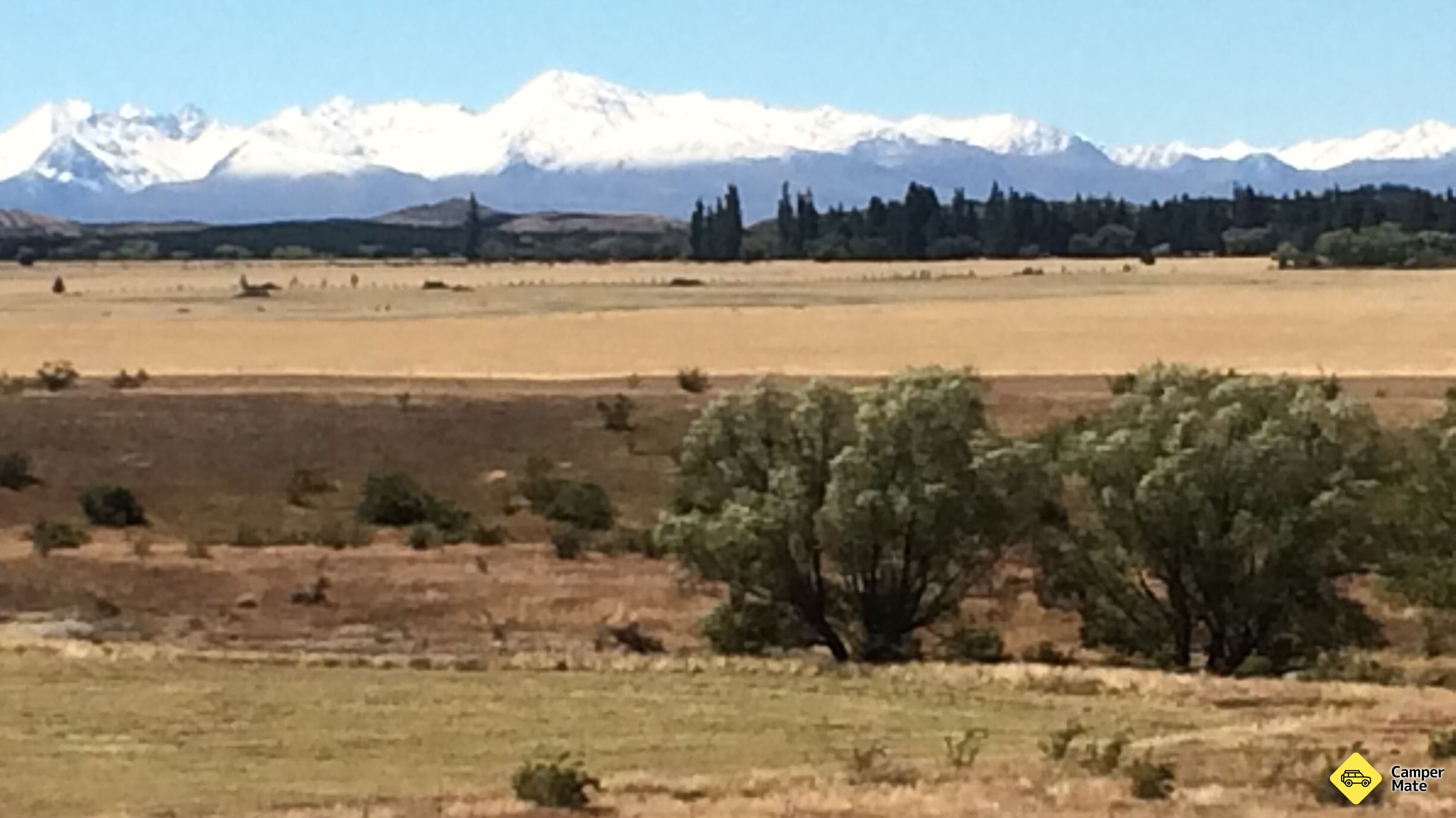
Really nice track with stunning views at the top. We can see all sides, ohau, pukaki, twizel. I've done anticlockwise and the way up is longer but easier I think than the other way. Took me 5h with breaks.
Great hike! Read the comments below. Tips: don't throw your shoes over the river... You might lose them... Like me haha
We absolutely loved this hike! Great views and a lot of variety in vegetation. It was a relief to leave al the tourists at the mt cook walks behind us. We were the only ones there! We recommend going counter clockwise, because the gravelpath to climb up is easier than the path following Greta stream. We had to climb a fence after about 20/30 minutes to follow the track.
Loop very nice to do on the day (count between 5 and 7 hours of walking depending on your form / experience). Distance: 16km Ascent: about 1000m. Access is via a gravel road of 6km correct, which is good with a 2wd vehicle. We made the loop in the anti-clockwise direction (first Ben Ohau, then Greta Stream), which therefore leaves the first car park. The first part is quite physical, as you climb to the top of Ben Ohau in just a few km. There is no technical difficulty, however, the path is fairly basic, although there are several barriers to cross. To reach the summit, you have to make a small round trip once you are on the ridge. The descent is first following a little ridge line, before entering the Greta Stream valley by a forked road to the left. Be careful not to continue too long on the crest line, otherwise you will make a loop much longer! No big difficulty on the downhill slope, but you have to cross three times Greta Stream (and some other times small tributaries). Difficult to cross without taking off, so plan water shoes (or failing that, flip flops). Better to have a map or a GPS so as not to be wrong, since the path is not very well marked. We made this loop mid-April, and we were alone! For the landscape, I let you discover ... But it is obviously sublime;)
If you do not have a good physical condition, I do not recommend this hike. The climb is very hard, and if you do it under the sun, there is no shade, so sunscreen, hat and water bottle are essential! the gravel road was passable. It's not the worst I've had, but not the best either.
I took 2 hours up and 2 hours down on top nice views onto twizel and lake ohau. Narrow gravel road, drive careful here. Overall a very nice hike!
Took us 2h to get to the summit. Beautiful view of Lake Pukaki, Lake Ohau and the surrounding landscape. Just step off the path at the highest point to reach the real summit.
Campamentos pagados•Waitaki
Campamentos libres•Waitaki
Campamentos libres•Waitaki
Campamentos libres•Mackenzie
Campamentos pagados•Mackenzie
Espectáculos escénicos•Mackenzie
Campamentos pagados•Waitaki
Alimentos y bebidas•Waitaki
Campamentos pagados•Mackenzie
Campamentos libres•Mackenzie