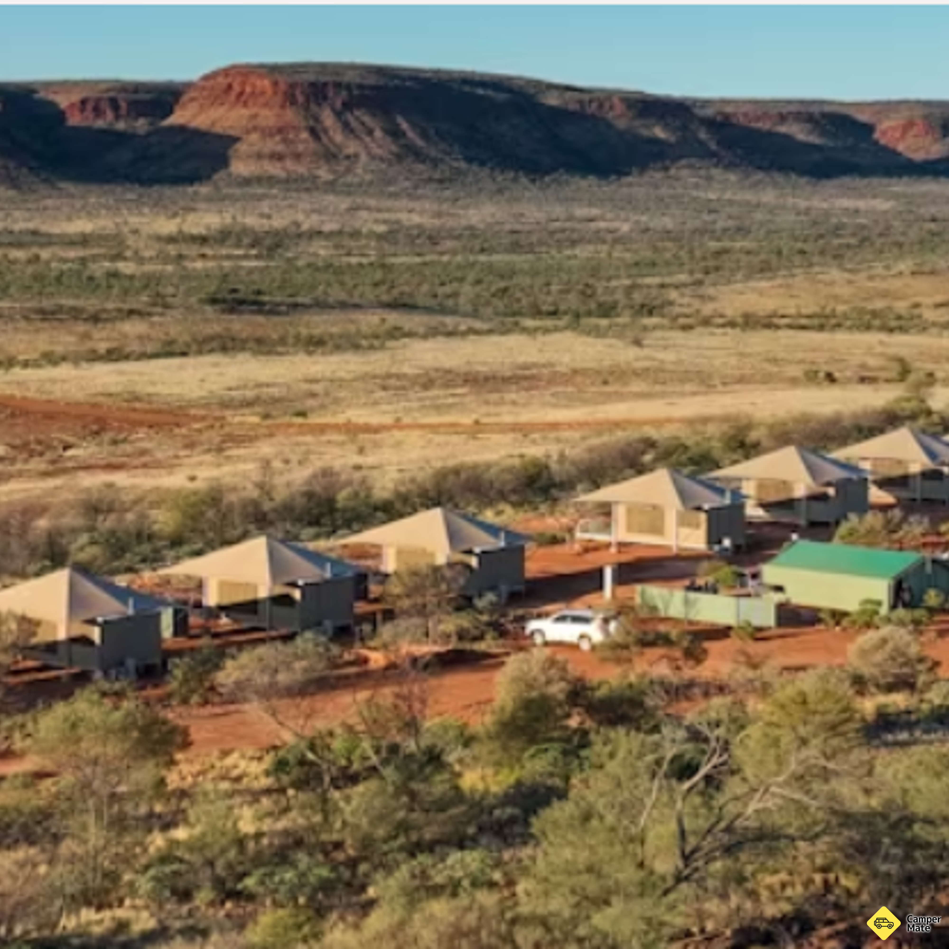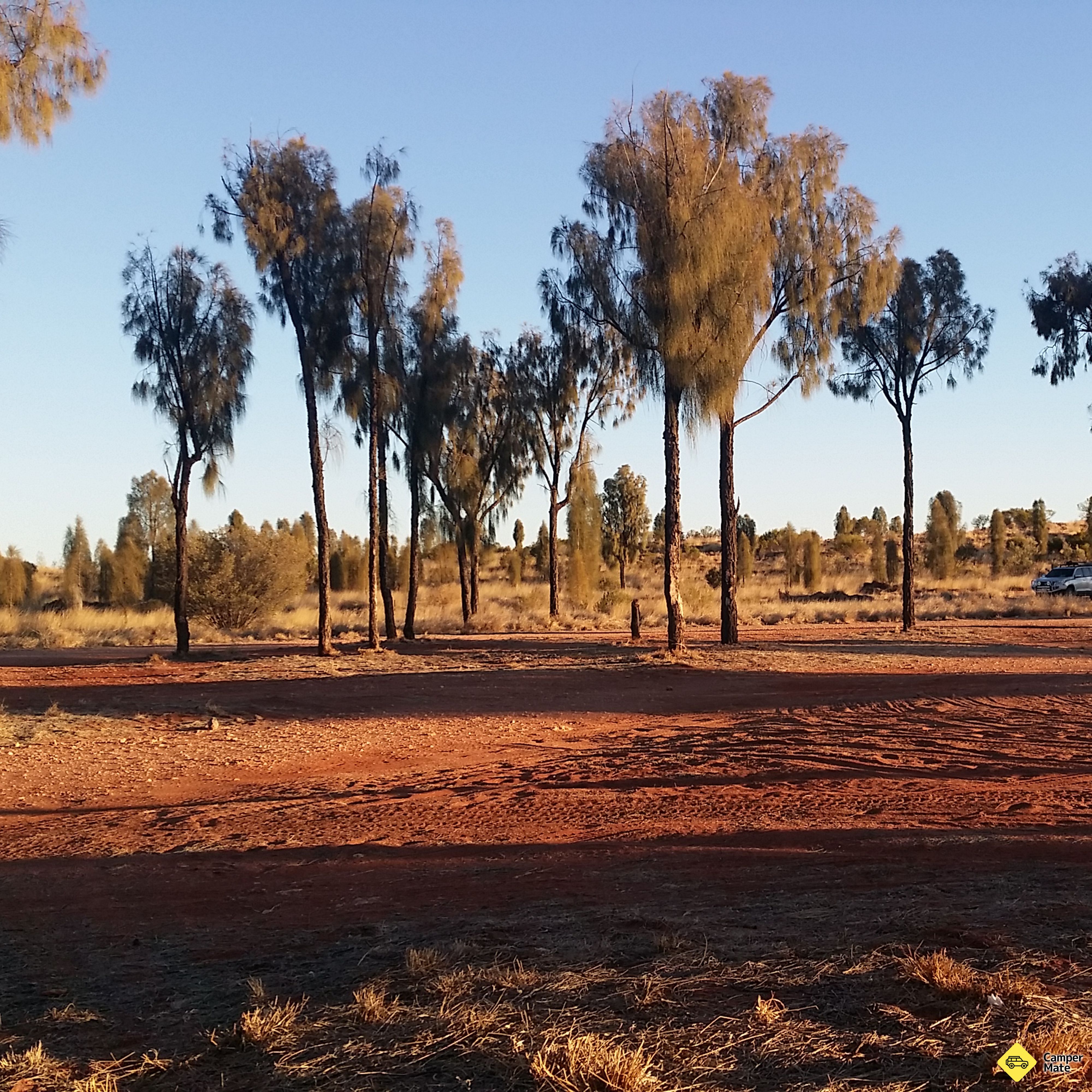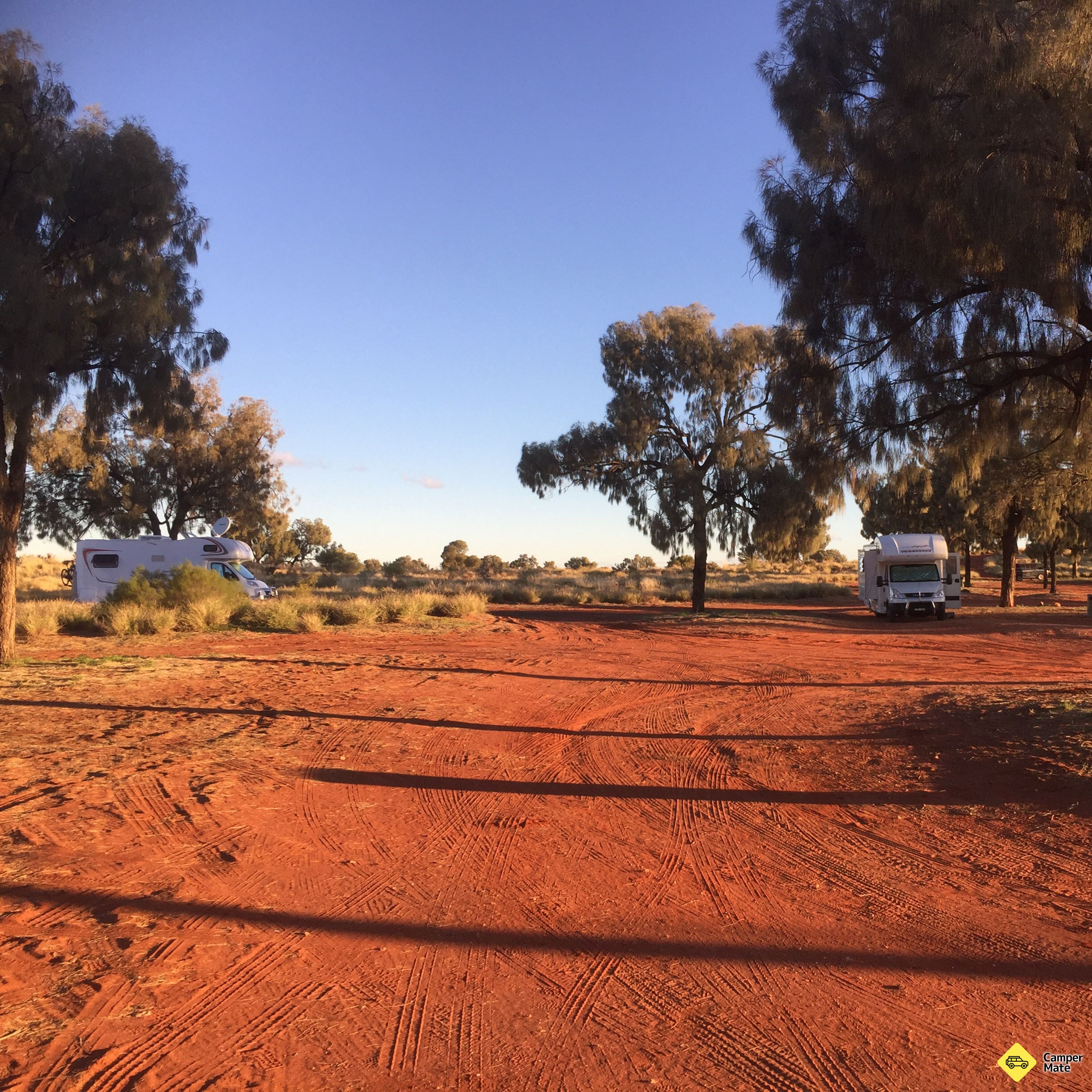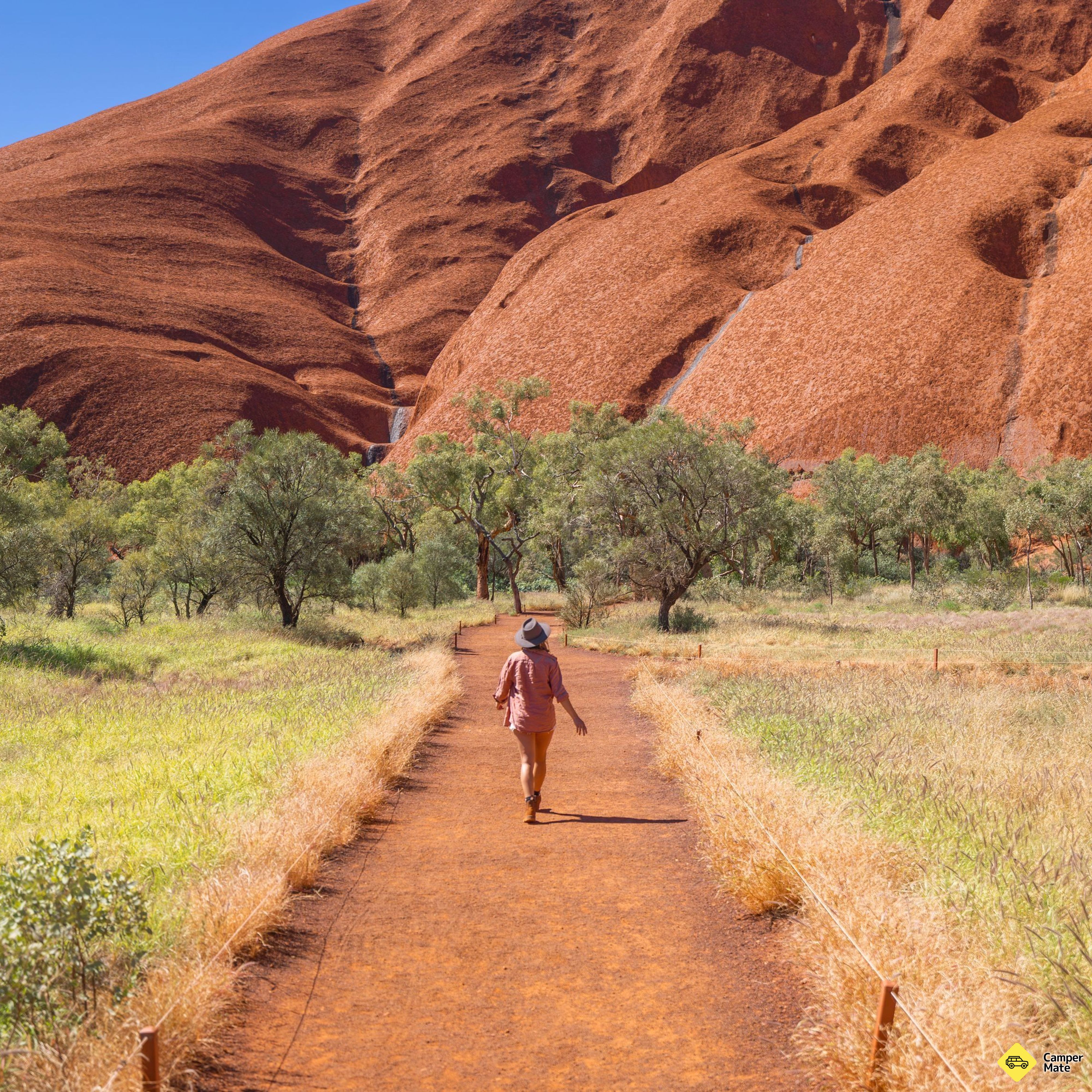
Uluru Sunset Viewing Area

Self-drive · Northern Territory, Australia

The Red Centre

Alice Springs, Kings Canyon & Uluṟu

Ancient gorges cut through ranges older than the Himalaya, a canyon rim you walk at sunrise, and a monolith that changes colour while you watch. Alice Springs out through the West MacDonnells to Kings Canyon and Uluṟu, then home up the Stuart — waterholes the whole way.

15days14nights1,334km3national parks

The route

  1. Alice Springs1 night
  2. West MacDonnells4 nights
  3. Kings Canyon3 nights
  4. Uluṟu4 nights
  5. Curtin Springs1 night
  6. Alice Springs1 night

Driving the Red Centre

The Red Centre Way is the classic loop out of Alice Springs: west along the Larapinta and Namatjira drives into Tjoritja/West MacDonnell National Park, south to Watarrka and the Kings Canyon rim, on to Uluṟu-Kata Tjuṯa, and back up the Stuart Highway. Tourism NT rates the full circuit at 1,334 km and recommends six days — enough that no single leg eats a whole morning.

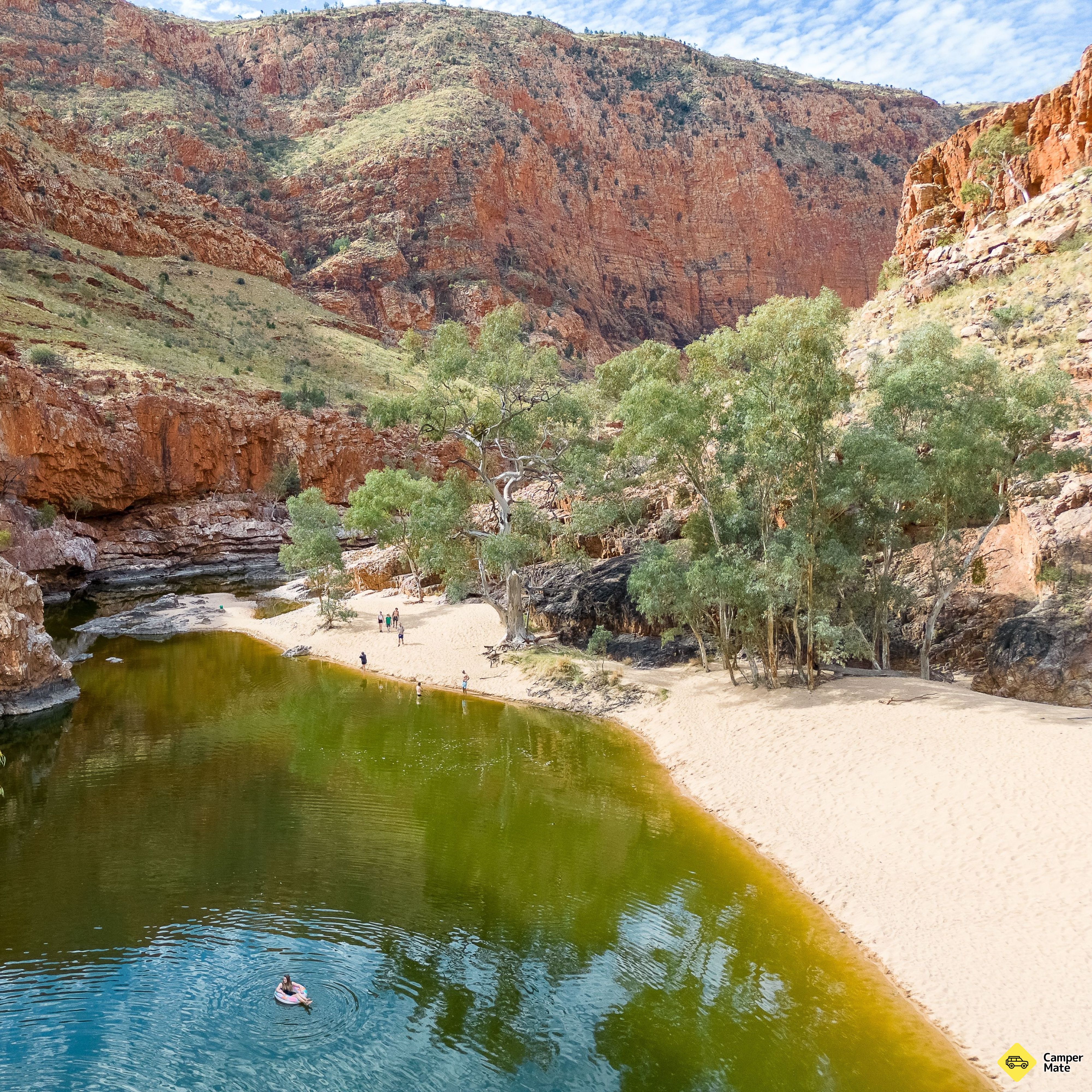
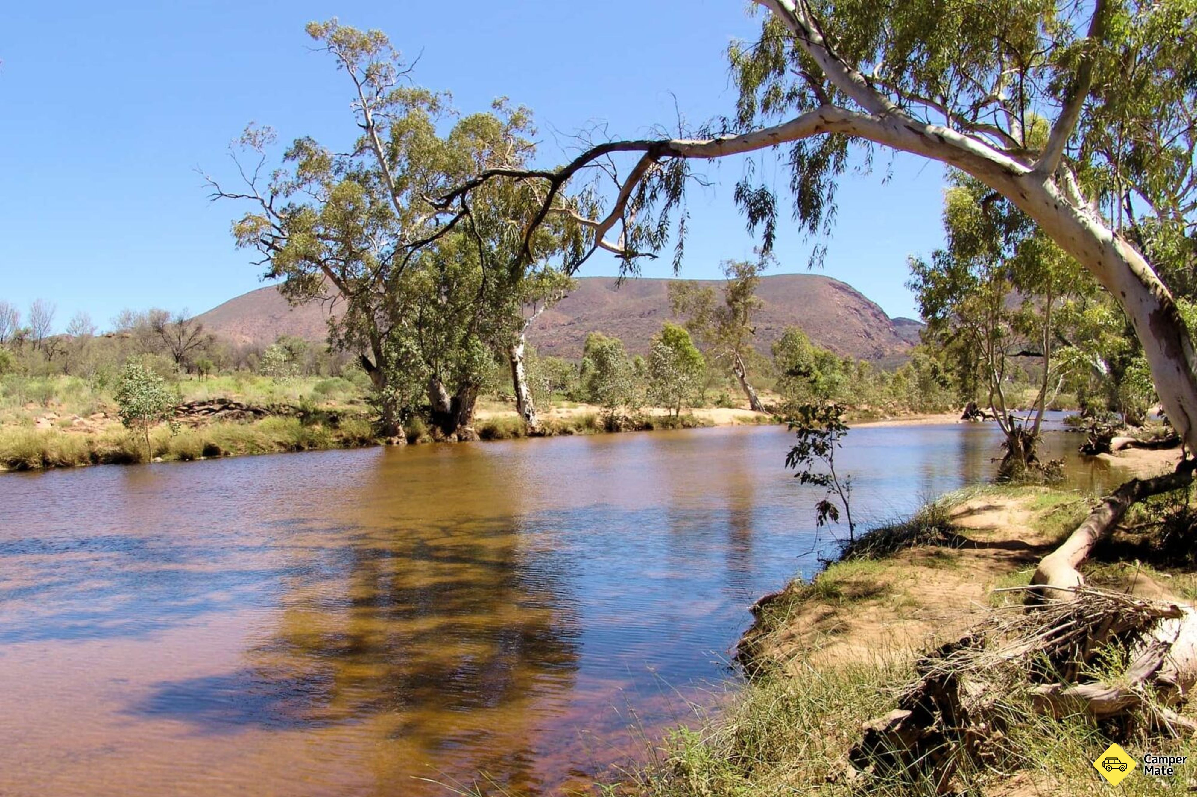
The West MacDonnells are the part travellers underestimate. Simpsons Gap and Standley Chasm sit close enough to Alice for a first afternoon, while Ellery Creek Big Hole, Ormiston Gorge and Glen Helen are proper swimming country — permanent waterholes in a landscape that reads as bone dry from the road. The water is cold year round, which is the point in September.

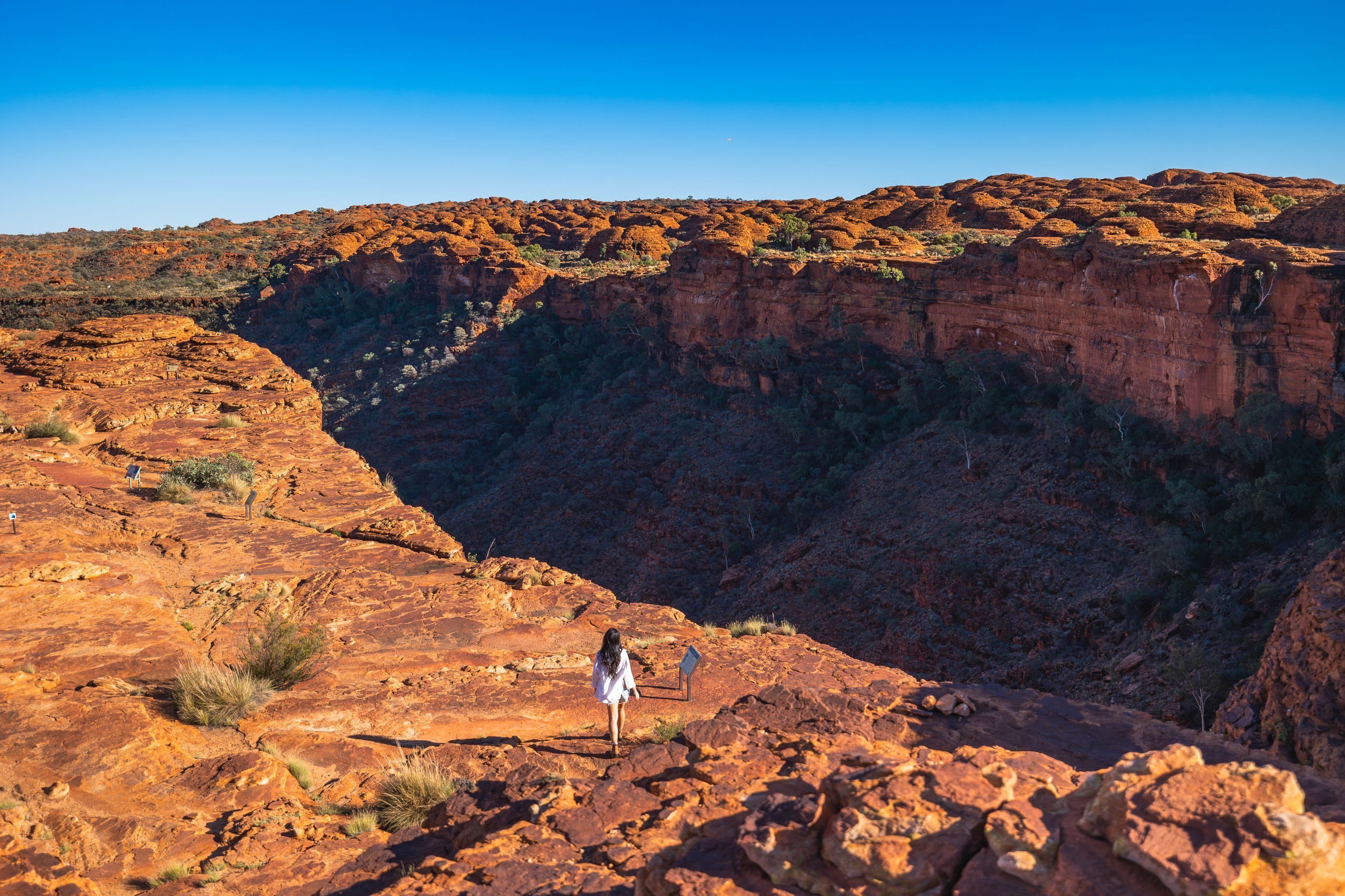
Kings Canyon earns its own day. The Rim Walk climbs steeply for the first twenty minutes and then delivers three hours along 100-metre sandstone walls and down into the Garden of Eden; rangers close it from 9am when the forecast tops 36°C, so this is a start-at-dawn walk, not an after-lunch one. Kings Creek Walk along the canyon floor is the gentler alternative and still worth the stop.

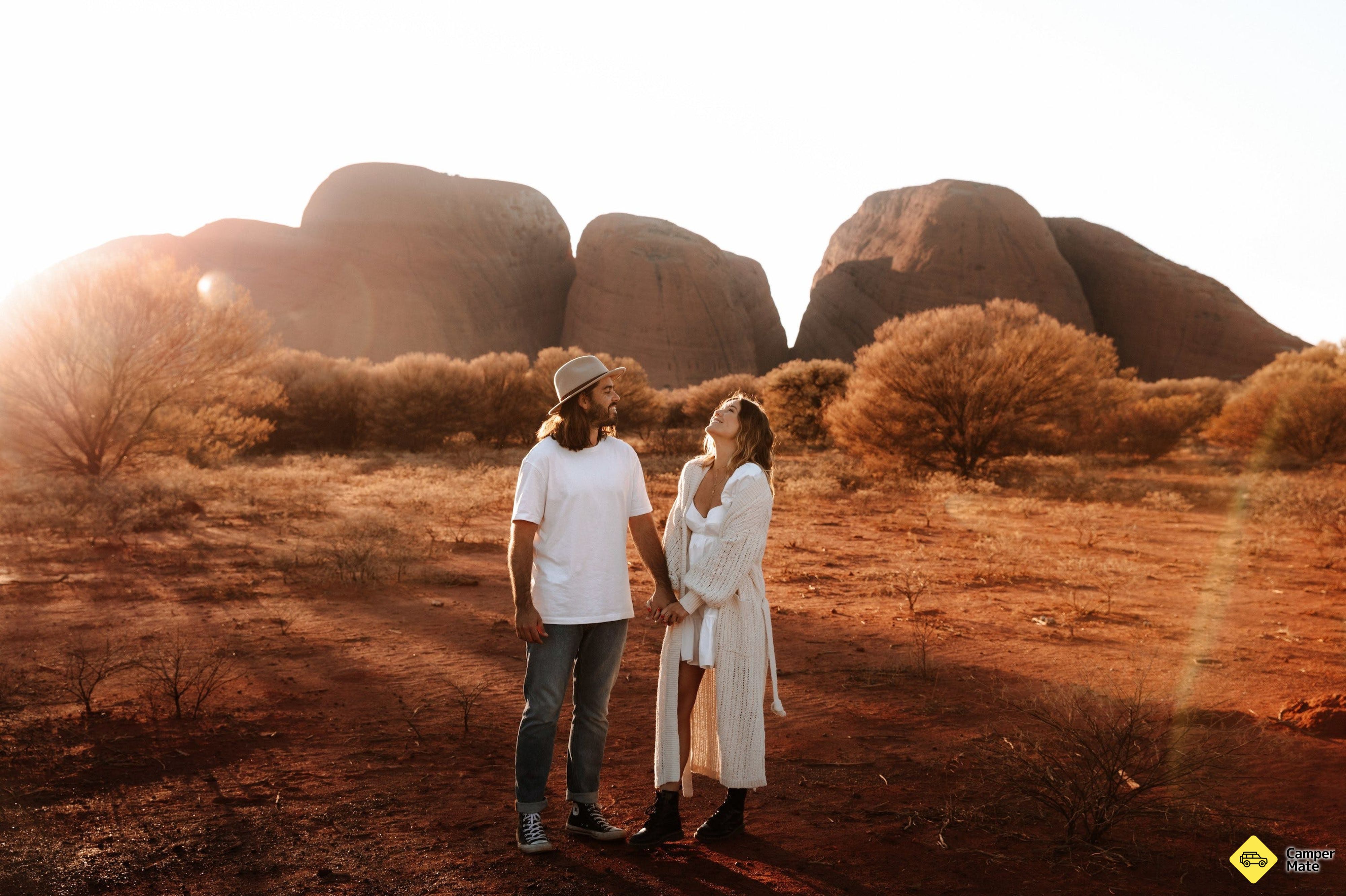
At Uluṟu, give yourself both ends of the day. Sunrise at Talinguṟu Nyakunytjaku and sunset from the viewing area bookend a base walk that is flatter and longer than people expect — 10 km, best done early. Kata Tjuṯa is a separate half-day: the Valley of the Winds walk is the better of the two trails and closes above 36°C as well. Start at the Cultural Centre, where the Anangu account of the place is told first-hand.

This is a desert drive, and the seasons run opposite to the Top End: April to September is the comfortable window, with cold nights and clear skies. Fuel stops are far apart — Glen Helen, Kings Canyon, Curtin Springs and Erldunda are the ones to plan around — and phone coverage disappears for long stretches. Carry more water than seems reasonable and tell someone your plan.

The main loop is sealed the whole way if you take the Luritja Road rather than the Mereenie Loop, which is unsealed and needs a permit. The CamperMate map below has the campsites, waterholes, walks and bookable tours along the sealed route — add the ones you like to build your own version of the drive.

  1. Anzac Hill LookoutDay 1

    Day 01

    Alice Springs

    Get your bearings

    Start where the desert town does. Climb Anzac Hill in the late afternoon for the whole MacDonnell Ranges laid out end to end, then stock up properly — this is the last full-size supermarket until you are back here.

    • Anzac Hill LookoutScenic SpotsWorth a look. Saw some sturt peas on main road near turn off near car yard.
    Nice look out. I’m from Korea really meaningful to visit. Thank you to those who fought and sacrificed for Korea.
    CamperMate traveller
    Where to camp tonight3
    • Alice Springs Tourist ParkPaid CampsitesBookDiscover Your Oasis in the Red Centre G’day and welcome to Alice Springs Tourist Park, your perfect base to explore Central Australia. For…
    • Wintersun Cabin and Caravan ParkPaid CampsitesBookWintersun Cabin and Caravan Park with its country hospitality and central position just 2km from the centre of Alice Springs in the NT, is…
    • Discovery Parks - Alice SpringsPaid CampsitesBookWelcome explorers to Discovery Parks - Alice Springs, your ultimate Northern Territory Outback HQ, just a quick drive from Alice Springs’ C…
    Worth booking nearby3
    • The Lions WalkWalking & HikingThere is a path starting at the bottom of ANZAC Hill on Wills Terrace. The Lions Walk is a moderate 15 minutes to the top of the hill. The…
    • The BakeryFood & BeverageThe Bakery is a local, family business run by husband and wife team Neil and Mel. We pride ourselves on making quality products using qual…
    • RT Tours Australia - Mbantua Sunset And Starlight Bush DinnerFood & BeverageThree-course gourmet bush dinner under the stars and then relax around an open wood fire and look out for nocturnal wildlife. Includes gour…
  2. 24 km · 25 min
    Simpsons GapDay 2

    Day 02 · Drive

    Alice Springs → Simpsons Gap

    A gentle first leg

    Barely half an hour out of town, which is the point — arrive early, walk the gap while the rock wallabies are still out on the scree, and let the trip start slowly.

    • Simpsons GapWalking & HikingAn oasis in the desert.Very nice creek and a short walk to reach it.If you are attentive you will be lucky to see some rocks Wall…
    Good place, really short walk, no swimming
    CamperMate traveller
    Where to camp tonight3
    • Hugh RiverFree CampsitesHugh River Camp is set in the striking, untamed terrain of the Northern Territory and provides a no-frills camping experience surrounded by…
    • Standley Chasm CampgroundPaid CampsitesBookCampers are welcome year-round to enjoy our clean and well-equipped facilities in our camping grounds. We have a limited number of powered…
    • Birthday WaterholePaid CampsitesBirthday Waterhole is a semi-permanent pool on the Hugh River in the West MacDonnell Ranges. It is also the Trailhead for sections 4 and…
  3. 68 km · 1 hr
    Standley Chasm Angkerle AtwatyeDay 3

    Day 03 · Drive

    Standley Chasm → Ellery Creek

    Midday light, afternoon swim

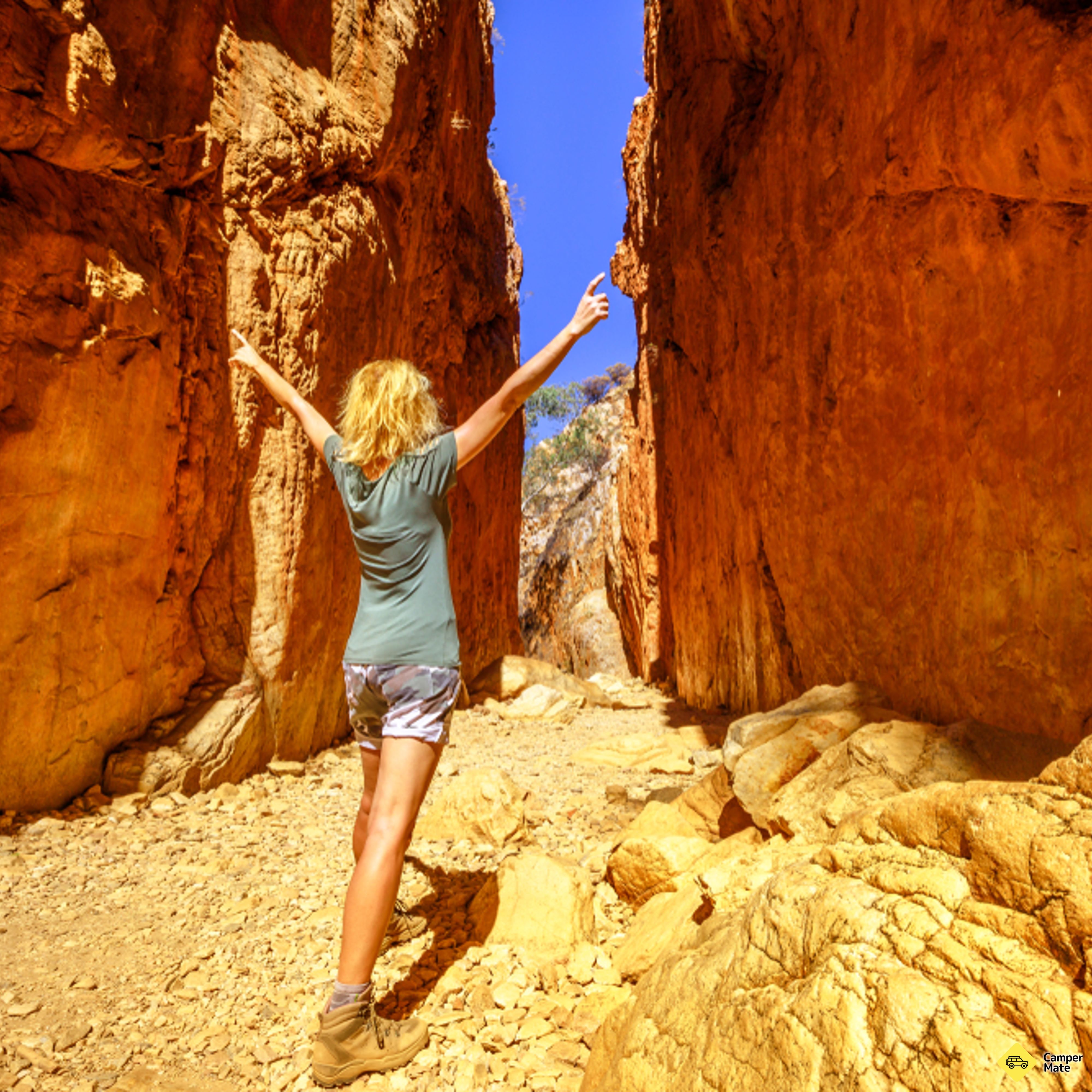
    Standley Chasm is a midday visit — the walls only catch direct sun for about an hour. Then west to Ellery Creek Big Hole for the swim, and stay for the campground if you want the gorge to yourself at dusk.

    • Ellery Creek Big HoleScenic SpotsNice spot, but check the news whether it's open again or not. And be very careful when swimming there, the water is really cold.
    Nice place for a swim. Not crowded in the morning.
    CamperMate traveller
    Where to camp tonight3
    • Serpentine Chalet Dam CampPaid CampsitesSerpentine Chalet Dam is part of the ruins of an early tourism venture that was built in the remote West MacDonnell Ranges. It is a refuge…
    • Reedy WaterholeFree CampsitesBasic Camp with no facilities **Disclaimer: Free Camps** Please note that many of the free camps listed on CamperMate are added by our co…
    • Ellery Creek Big Hole CampgroundPaid CampsitesEllery Creek Big Hole campground is an Iconic Australian campsite. Enjoy the 3km loop Dolomite Walking trail and swimming in the Ellery C…
  4. Ormiston GorgeDay 4

    Day 04

    Ormiston Gorge

    The pound walk

    The best walk in the West MacDonnells: out through Ormiston Pound and back down the gorge, finishing at a waterhole deep enough to swim in any month of the year. Three hours, and worth starting early.

    • Ormiston Pound & Gorge WalkWalking & HikingDid The Pound Track today. What a beautiful walk. You go anti clockwise slowly winding your way up the hills. Come to the highest…
    We hiked Ormiston Pound. It's a long walk along the mountainside. The trail isn't difficult, but it's long and not particularly spectacular. The impressive waterhole only appears towards the end of the hike and was chest-deep for us to wade through. You should have good footing,…
    CamperMate traveller
    Where to camp tonight3
    • Ormiston Gorge CampsitePaid CampsitesOrmiston Gorge camping facilities include gas BBQs, toilets and showers. Spaces are limited and are on a first come, first served basis.…
    • Finke River 2 Mile CampgroundFree CampsitesTop spot in MacDonnell Ranges. The 2 mile camping spot located at Glen Helen is a 4wd based camping spot right on the River Finke. Very…
    • Serpentine Chalet Bush CampingFree CampsitesVery big camping area off the road. It is a long (4km) gravel/rocky road through the McDonnald Ranges with little camp areas on the side of…
    Worth booking nearby3
    • Mount Sonder Walk and LookoutWalking & HikingMt Sonder is the highest point in the West MacDonnell Ranges. It marks the western end of the Larapinta Trail, a 223 kilometres walking tra…
    • Ochre PitsScenic SpotsThe vivid colours of the mineral ochre pits have been mined for generations by the local Aboriginal people. They are a colourful outcrop…
    • Serpentine GorgeWalking & HikingSerpentine Gorge is a narrow gap in the West MacDonnell Ranges, 100 kilometres west of Alice Springs. Follow one of the many well-marked p…
  5. 55 km · 50 min
    Redbank GorgeDay 5

    Day 05 · Drive

    Glen Helen → Redbank Gorge

    The far end of the ranges

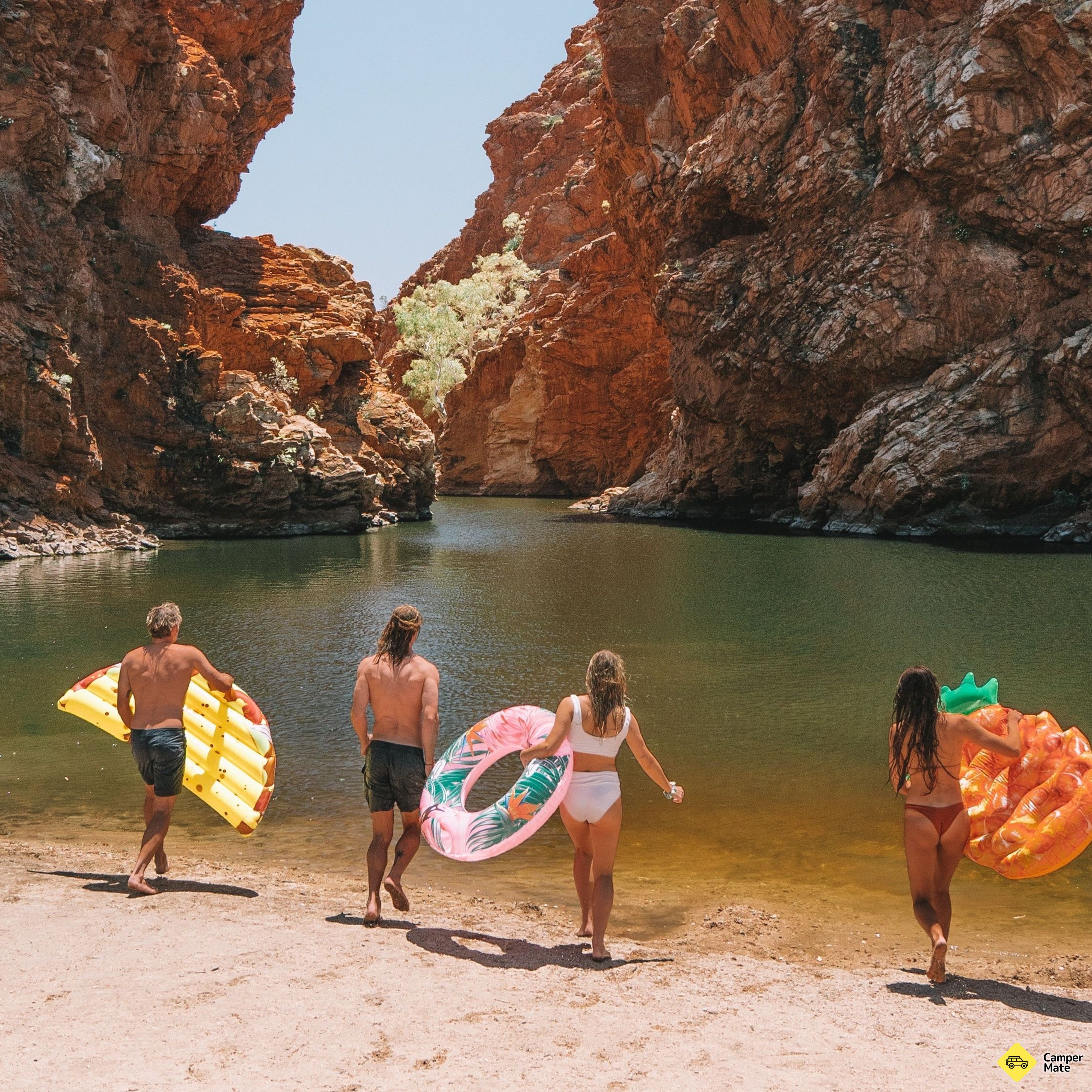
    Glen Helen sits where the Finke River — one of the oldest riverbeds on earth — cuts through the range. Push on to Redbank Gorge and float the narrow chasm on a lilo if the water is up.

    • Glen Helen GorgeScenic SpotsGlen Helen Lodge is shut. The hike starts in a car park just off the highway. It’s an easy fifteen-minute walk to the gorge, whic…
    • Redbank GorgeScenic Spots8km gravel road return. Reckon 4WD only. We try to go with our van but retreated?.
    We had no problems driving there with our 2WD campervan. The access road is unpaved and the many small stones provide good traction. The hiking trail to the gorge is easy. Sure footing is important because of the many rocks. Fantastic rock formations and the lake offer a refresh…
    CamperMate traveller
    Where to camp tonight3
    • Ntaria CampgroundPaid CampsitesNtaria Campground/ Hermannsburg Supermarket Caravan Park is conveniently located, only 100 metres from Ntaria supermarket and takeaway. Fac…
    • Point Howard LookoutFree CampsitesPoint Howard Lookout provides a rest area with panoramic views of the surrounding countryside. To the north, you can see the Burt Plain, a…
    • Woodland Camping Area - Redbank GorgePaid CampsitesWoodland camping area is located in West MacDonnell National Park, on the Larapinta trail and is one of the most visited parks in the Red C…
  6. 305 km · 3 hr 45 min

    Day 06 · Drive

    Redbank Gorge → Kings Canyon

    South to Watarrka

    The sealed run back down the Stuart and out along Luritja Road. Long, straight and genuinely empty — fuel at Erldunda and enjoy the quiet.

    Where to camp tonight3
    • Ayers Rock CampgroundPaid CampsitesBookLocated just 20km from Uluru, Ayers Rock Campground is a special home base for truly experiencing the beauty of Uluru. Unwind in air-condit…
    • Lasseter Highway Rest AreaFree CampsitesParking off the side of the highway. Room for 30+ vehicles. Intermittent reception for Telstra. No facilities. **Disclaimer: Free C…
    • Curtin Springs Wayside Inn & CampPaid CampsitesBookCurtin Springs offers a perfect base from which to visit the Ayers Rock.
  7. Kings Canyon Light TowersDay 7

    Day 07

    Kings Canyon rim

    Walk it, then fly it

    A second day at Watarrka lets you do the Rim Walk properly at dawn and still have the afternoon — a scenic flight shows you how narrow the canyon really is, and the Light Towers run after dark.

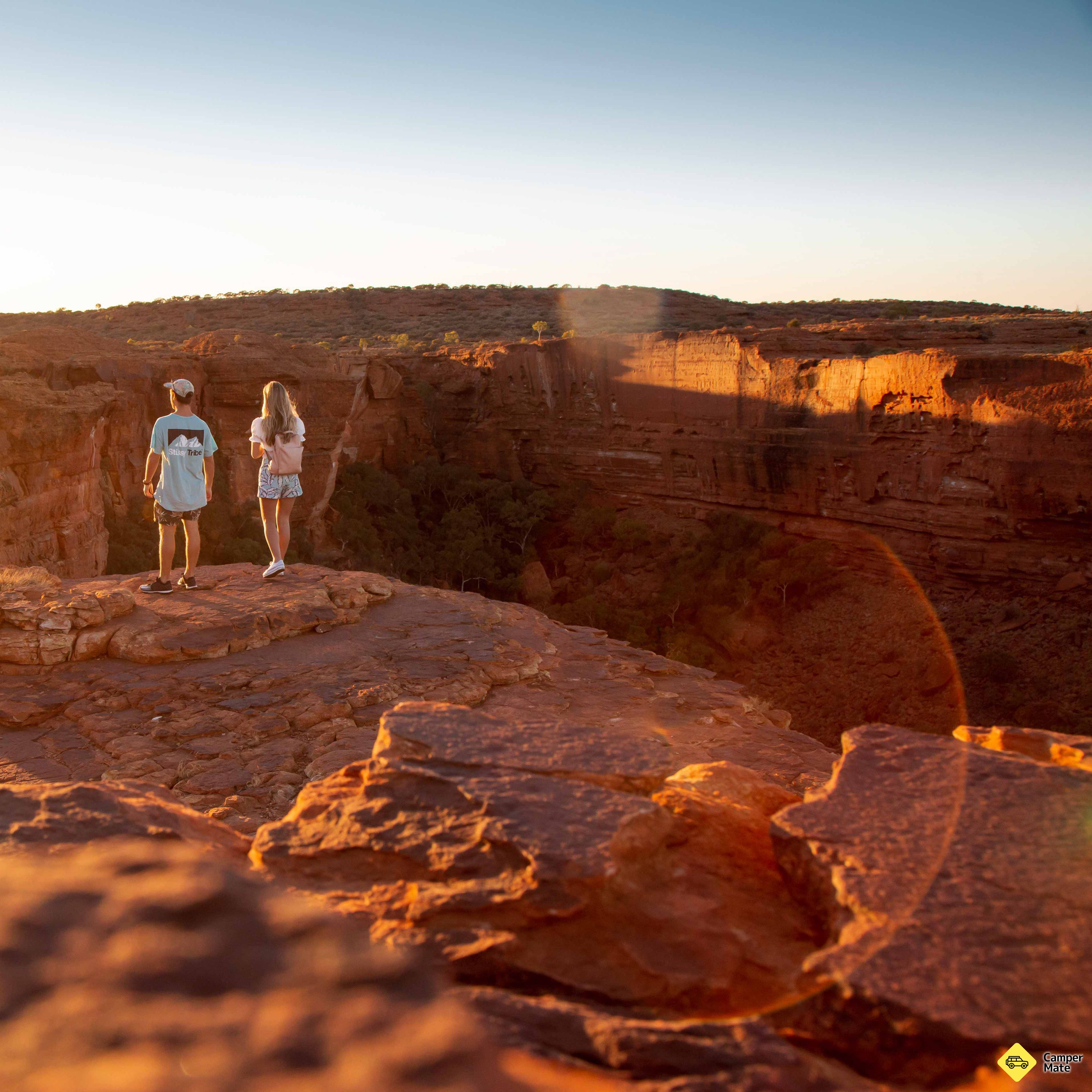
    The Kings Canyon Rim Walk is a fantastic loop trail. The short climb at the beginning is the only strenuous part of the 3-4 hour hike. You walk along the edge of Kings Canyon with breathtaking views. There are beautiful lookouts along the route, and you also have the option to v…
    CamperMate traveller
    Where to camp tonight3
    • Discovery Resorts - Kings CanyonPaid CampsitesBookExperience the wonder of the Red Centre at Discovery Kings Canyon, halfway between Uluru and Alice Springs in Australia's Northern Territor…
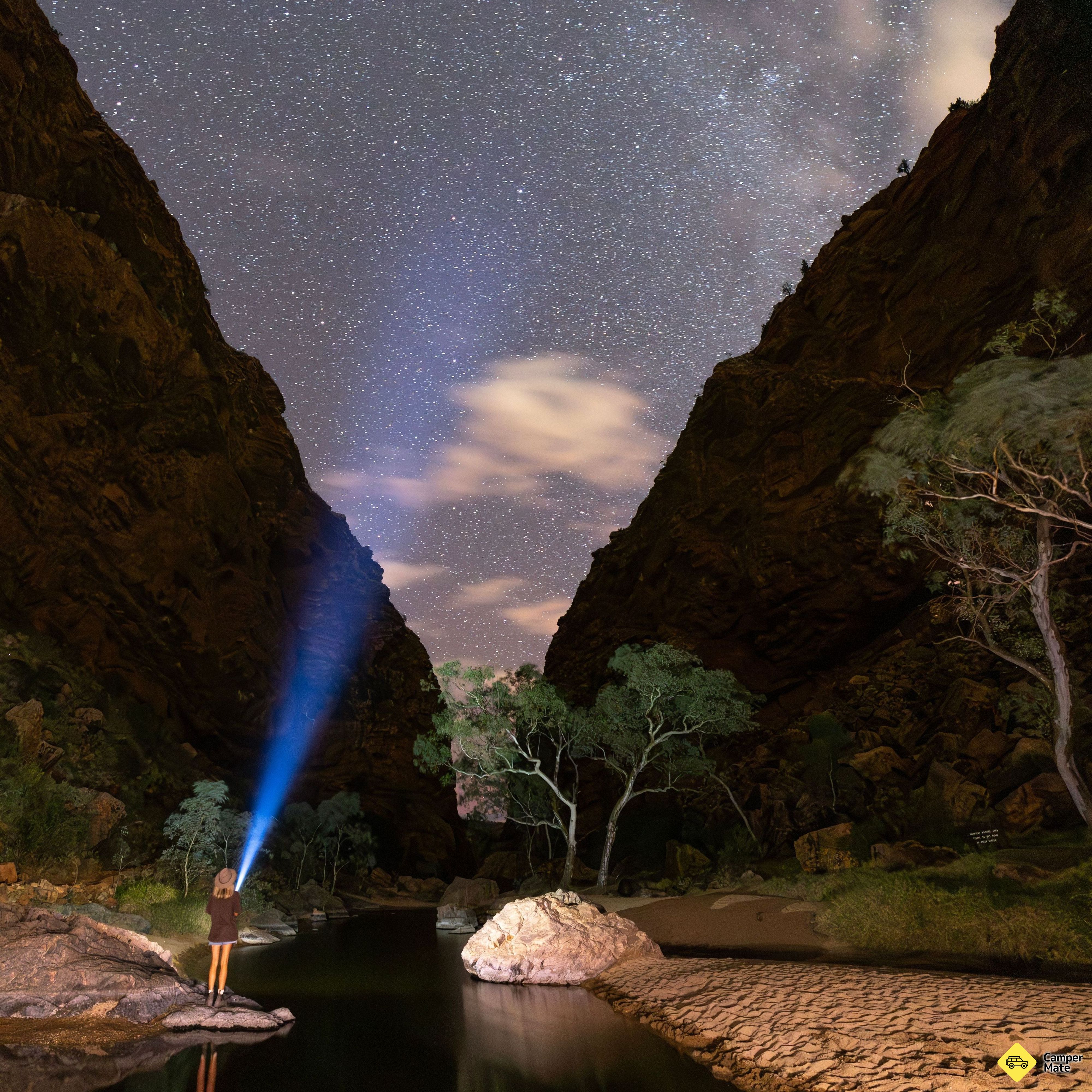
    • Sandy Way Rest AreaFree CampsitesHas got a rainwater tank with tap, two picnic tables, one being sheltered and three garbage bins provided. You can park and camp on the sea…
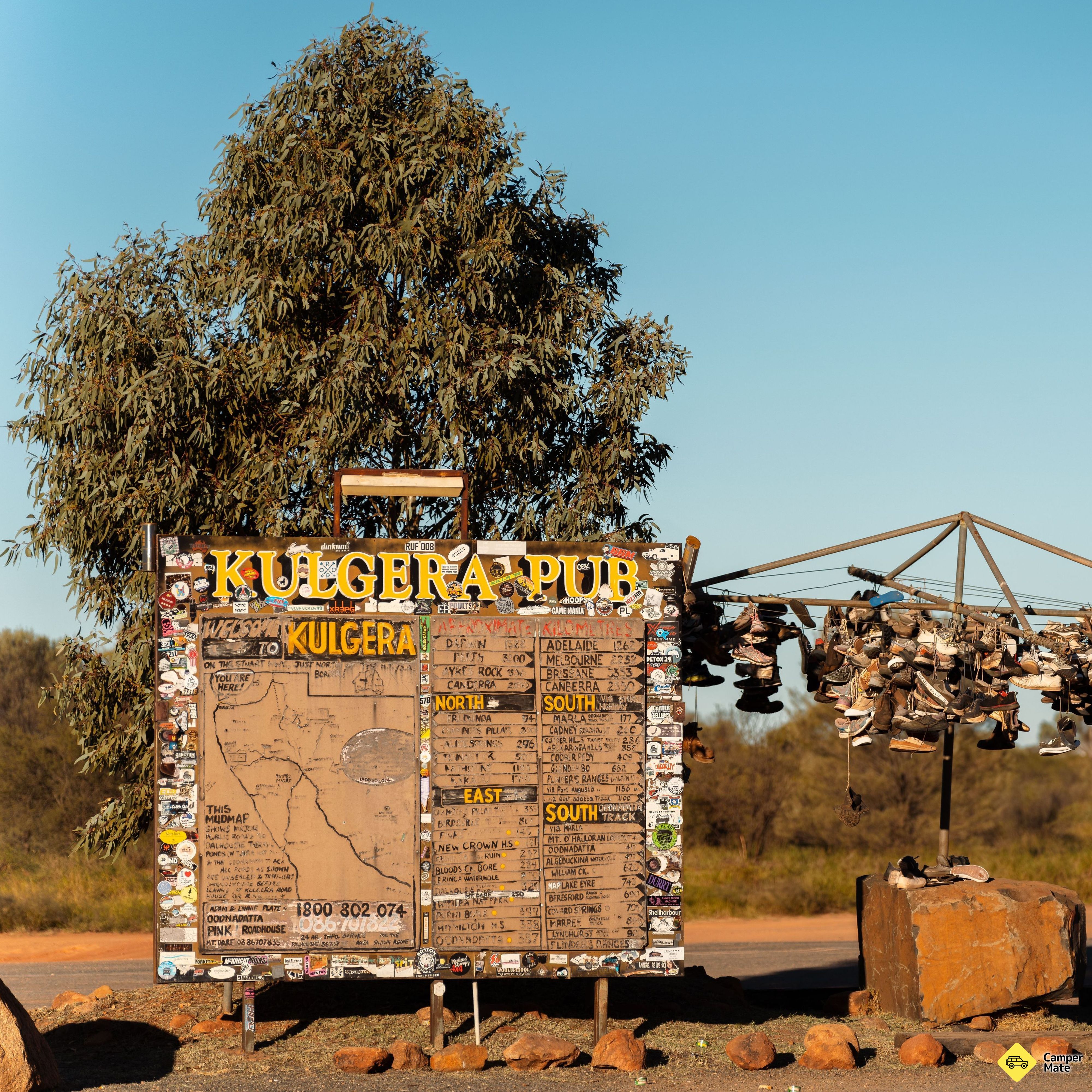
    • Kings Creek StationPaid CampsitesBookKings Creek Station is more than just a campground. As a working cattle station, we offer a variety of accommodation options, including Bus…
    Worth booking nearby3
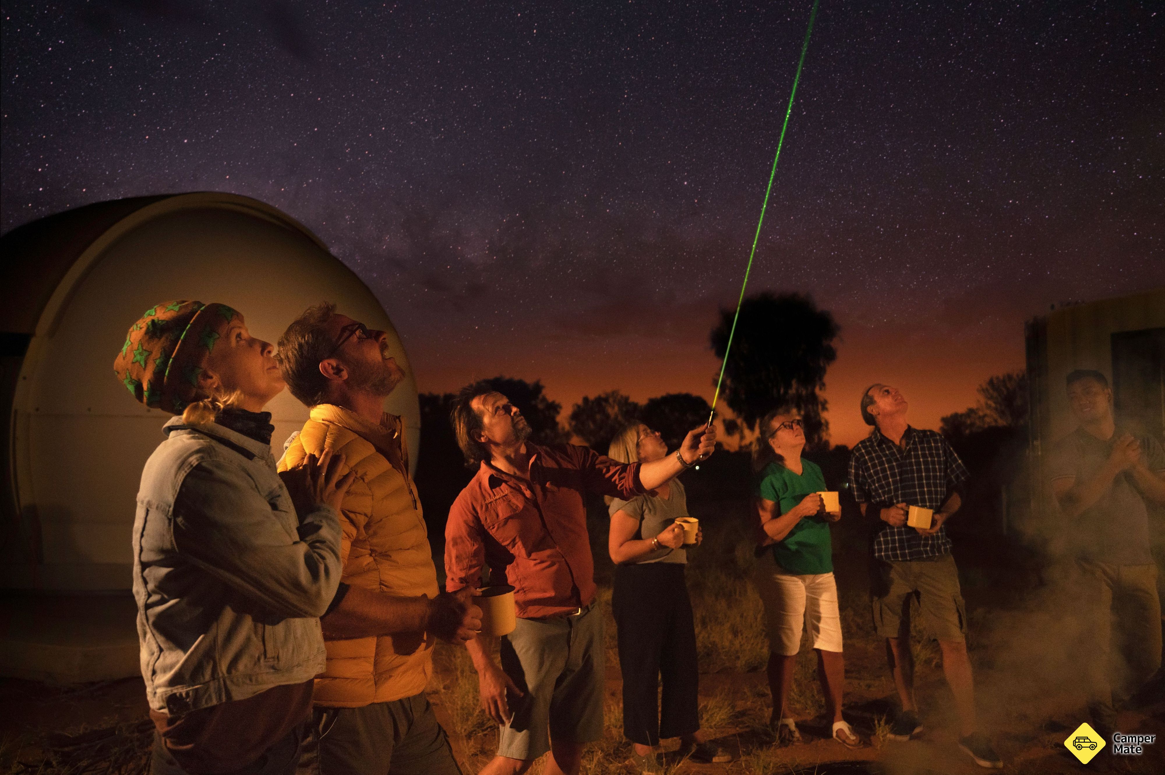
    • Under a Desert MoonFood & BeverageGet caught up in the wonder of the universe and experience a celebration of outback food and wine only possible in a place like this. Begi…
    • Kings Creek River Walk Walking & HikingThe Kings Creek Walk offers a gentle trail along the base of Kings Canyon, nestled between towering sandstone walls. This 2 km return walk…
    • Luritja LookoutScenic SpotsAt Luritja Lookout, you will be wowed by the sunset hues glowing on Carmichael Crag and the George Gill Range, then Bruce Munro's new Light…
  8. Day 08

    Watarrka

    A slower day at the canyon

    Nothing pinned here on purpose — after the rim walk this is a day for the gentler Kings Creek Walk along the canyon floor, a swim, and whatever the campsites and operators nearby are offering.

    Where to camp tonight3
    • Red Centre Way IntersectionFree CampsitesLarge space next to the intersection with some bush/trees. No facilities. **Disclaimer: Free Camps** Please note that many of the free ca…
    • Erldunda Desert Oaks ResortPaid CampsitesBookWe are situated at the intersection of the Stuart and Lasseter Highways
    • Luritja Rd Gravel PitFree CampsitesGravel pit at roadside. No facilities. **Disclaimer: Free Camps** Please note that many of the free camps listed on CamperMate are added…
    Worth booking nearby3
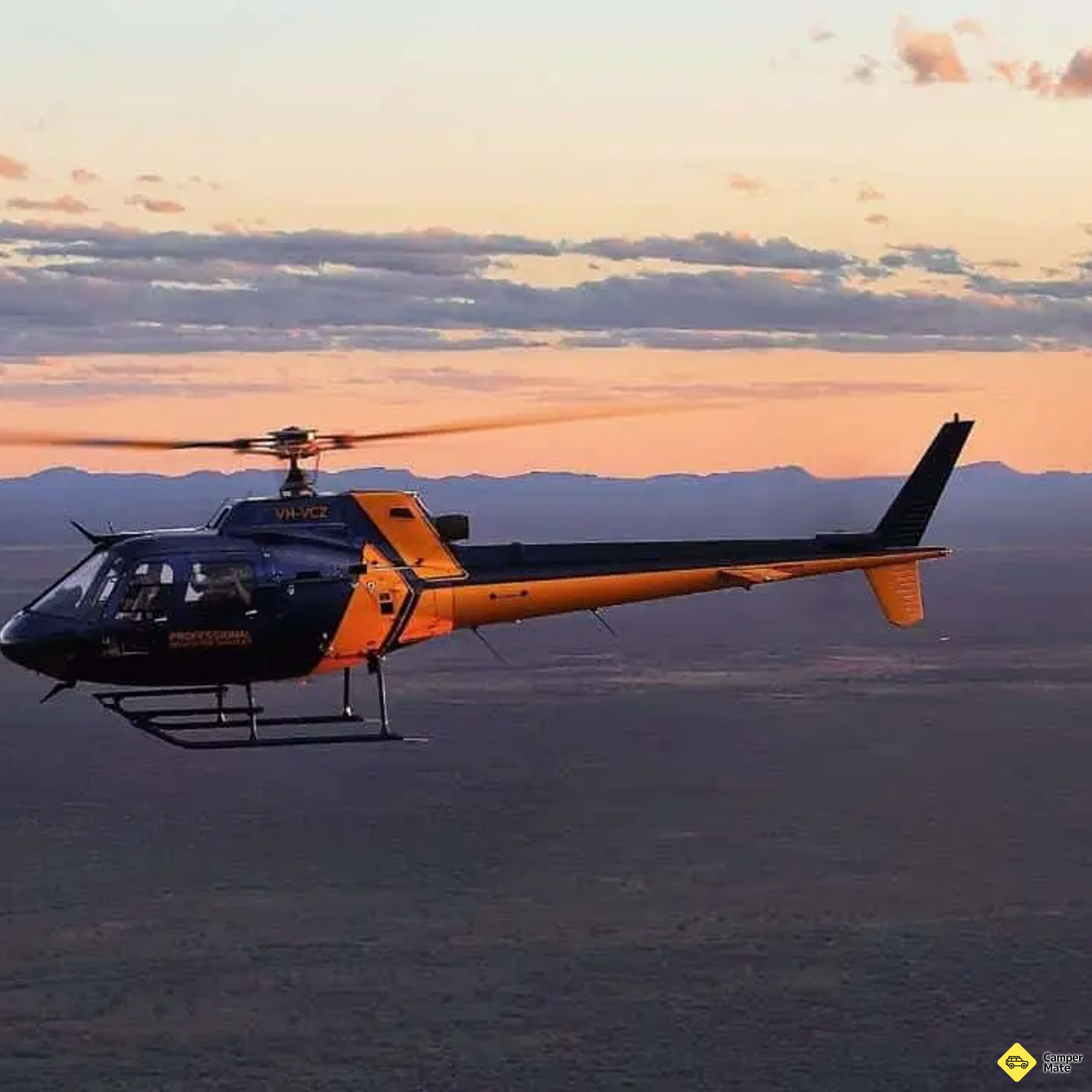
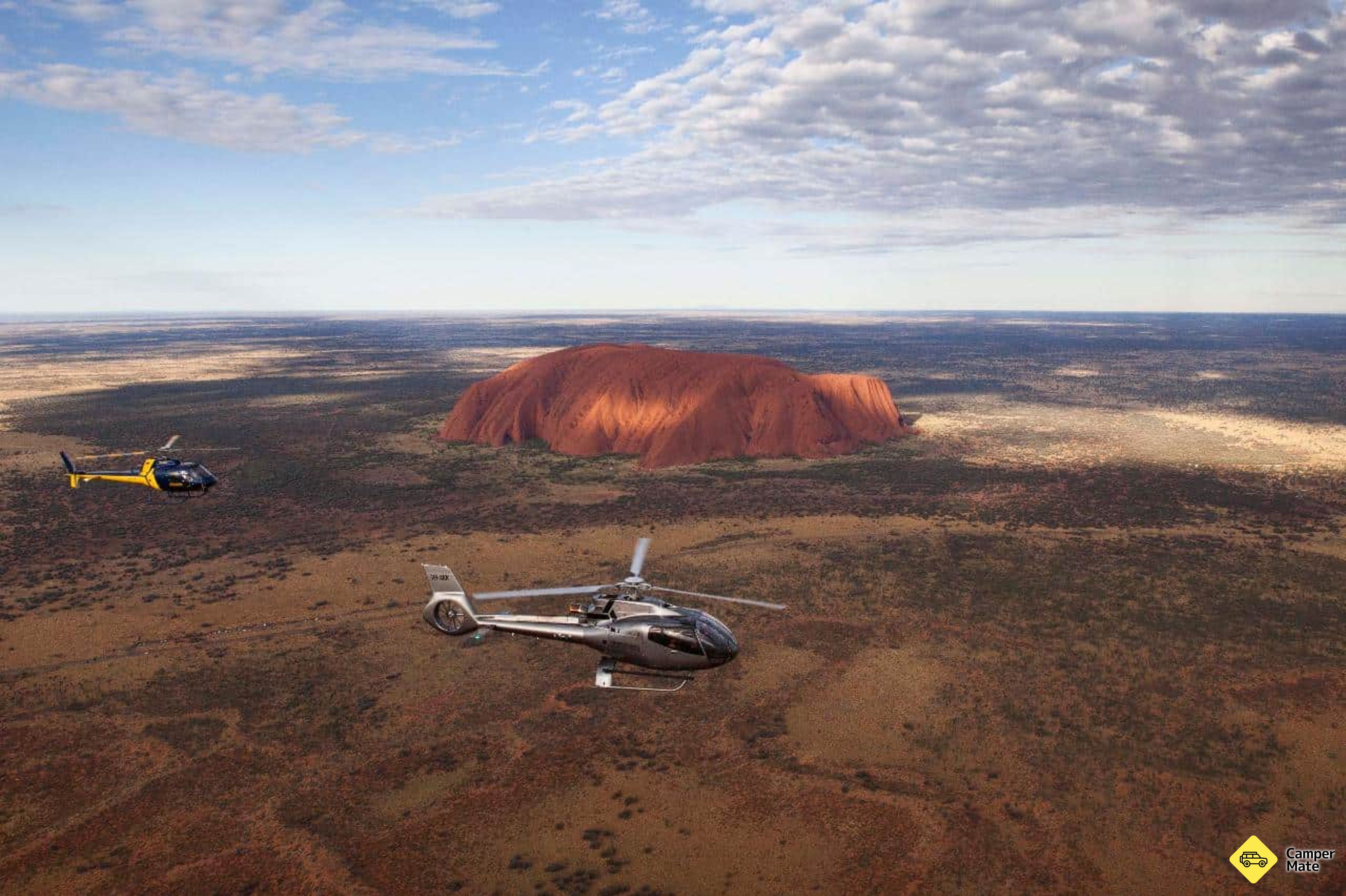
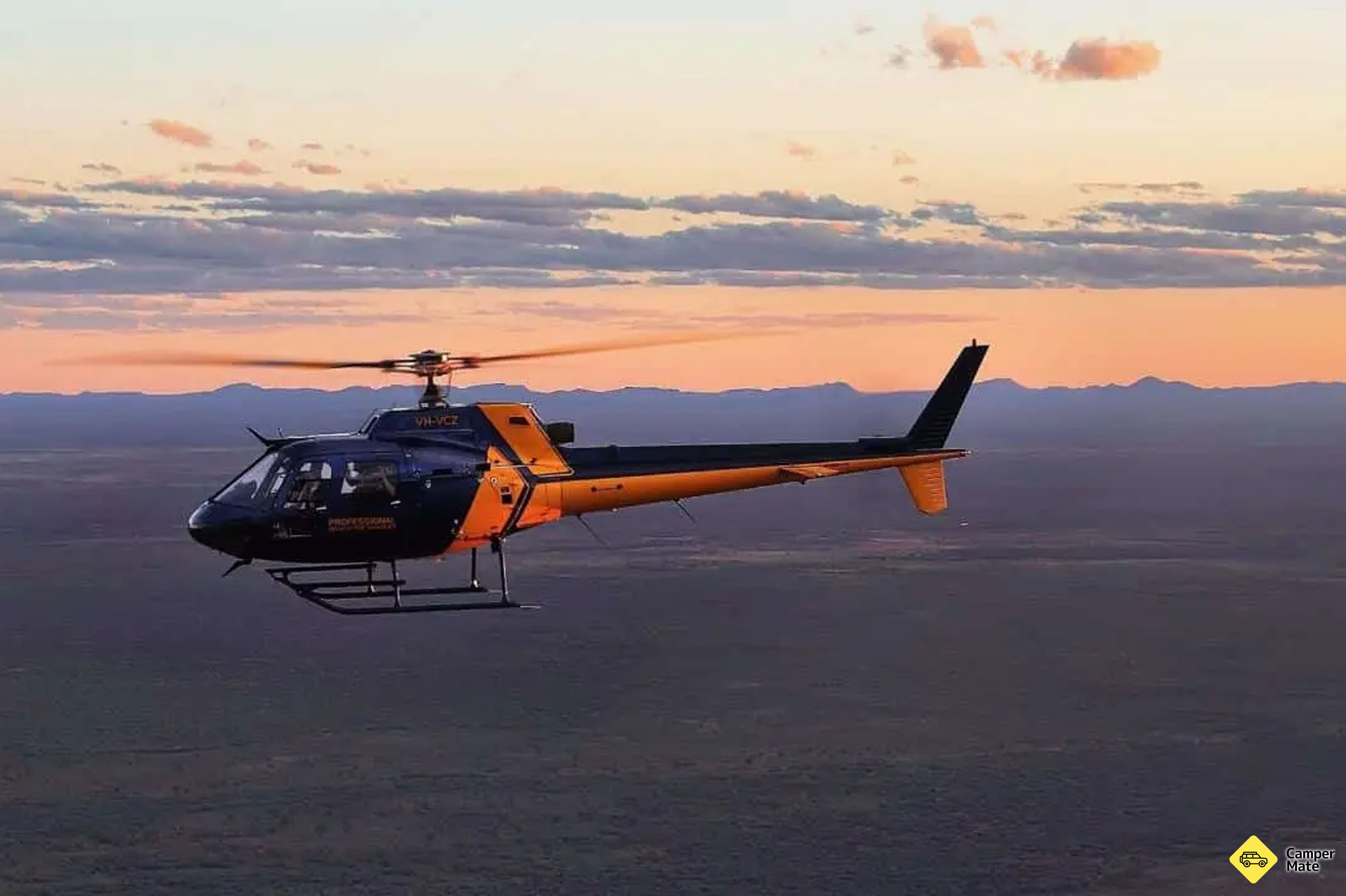
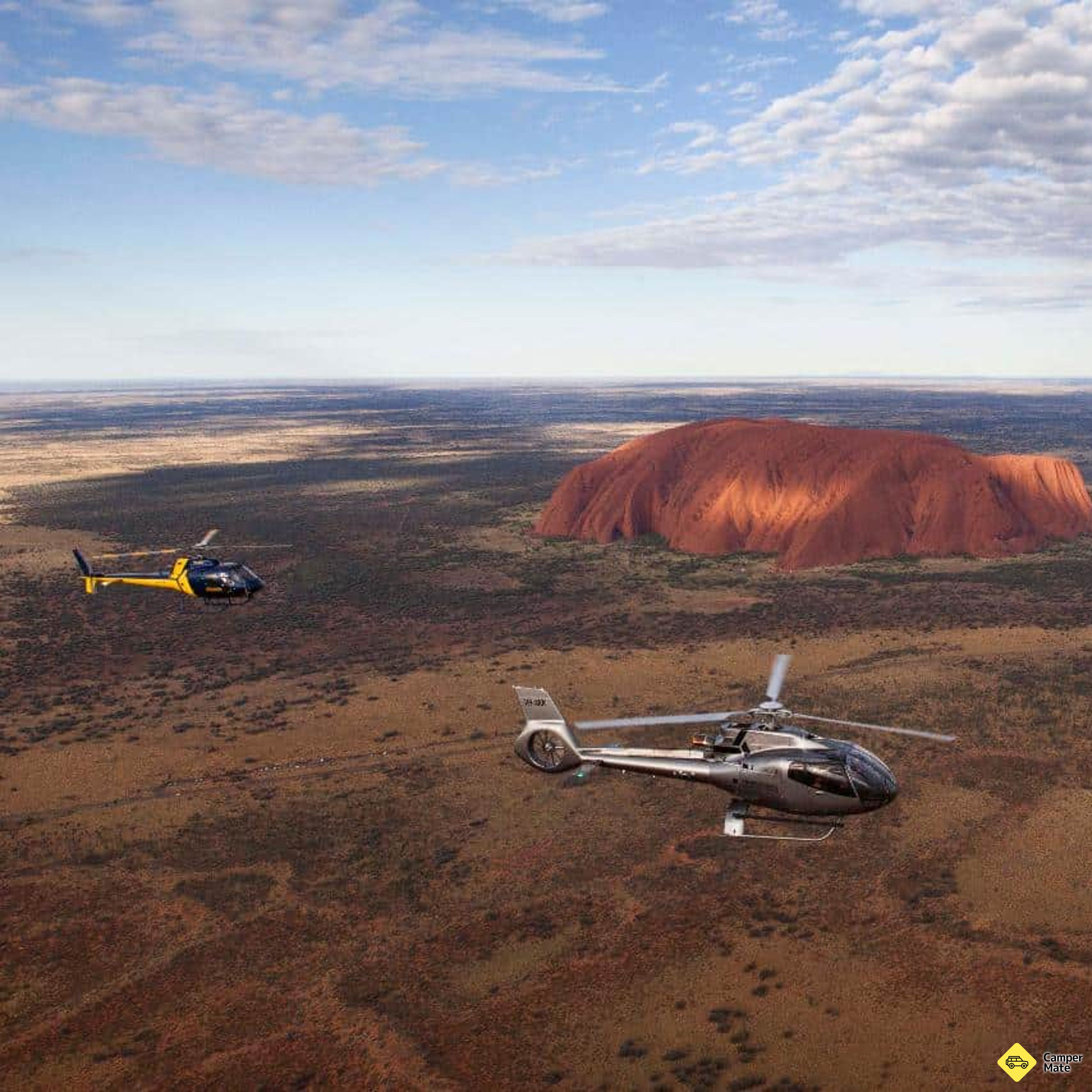
    • Professional Helicopter Services UluruScenic FlightsBookWitness the iconic Uluru from the air with this 15 minute helicopter flight aiming to showcase its spectacular colour and size from high ab…
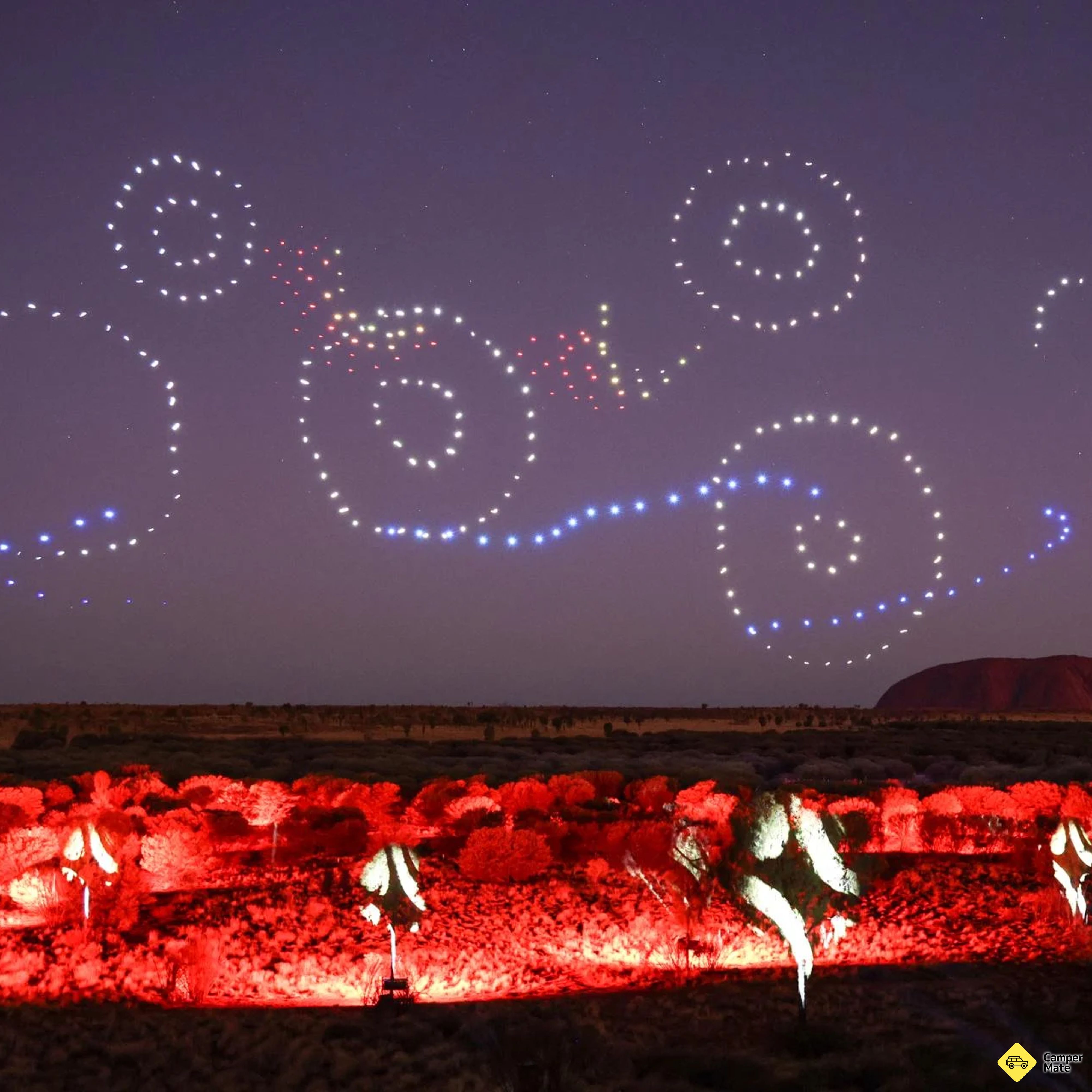
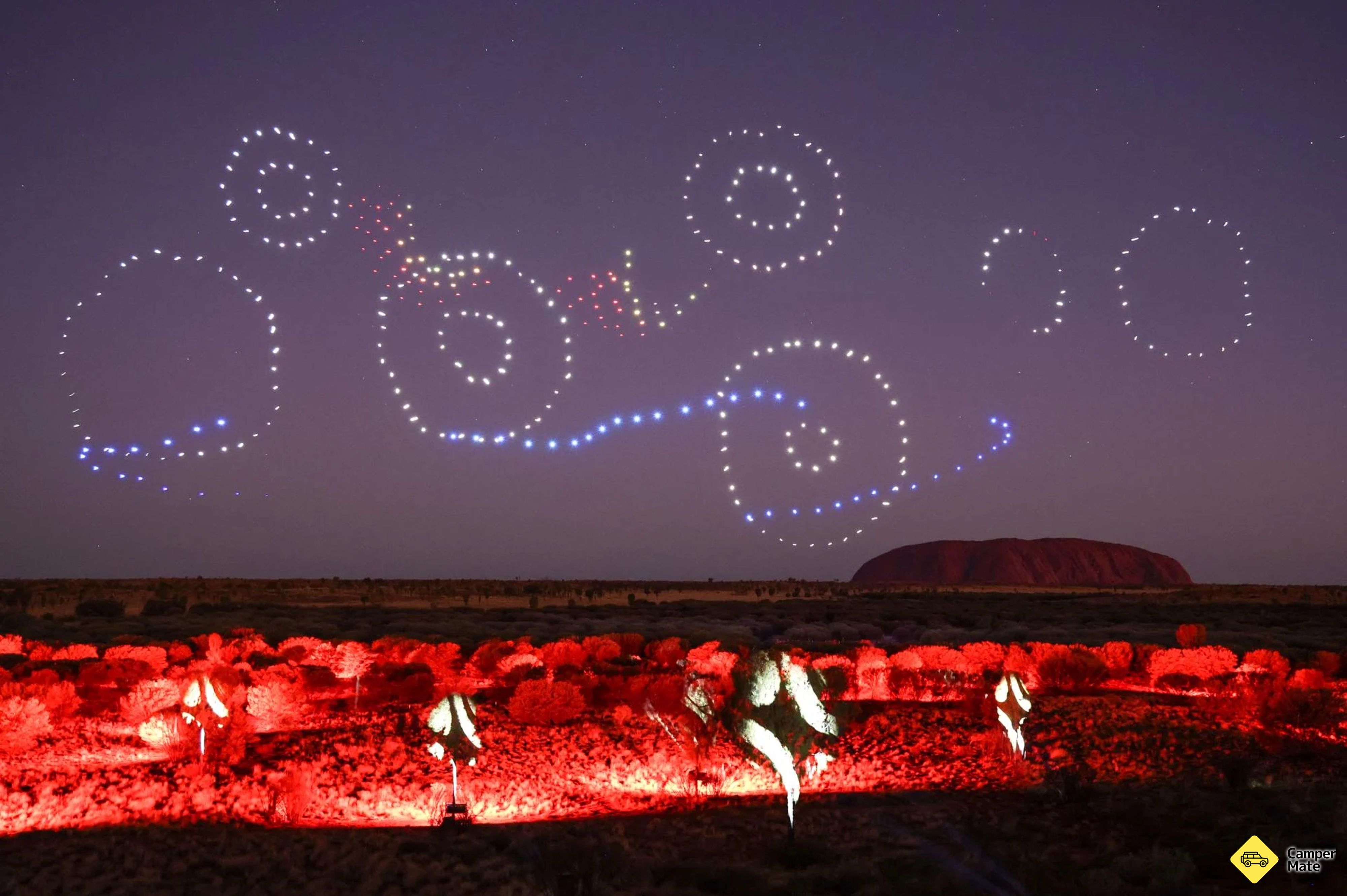
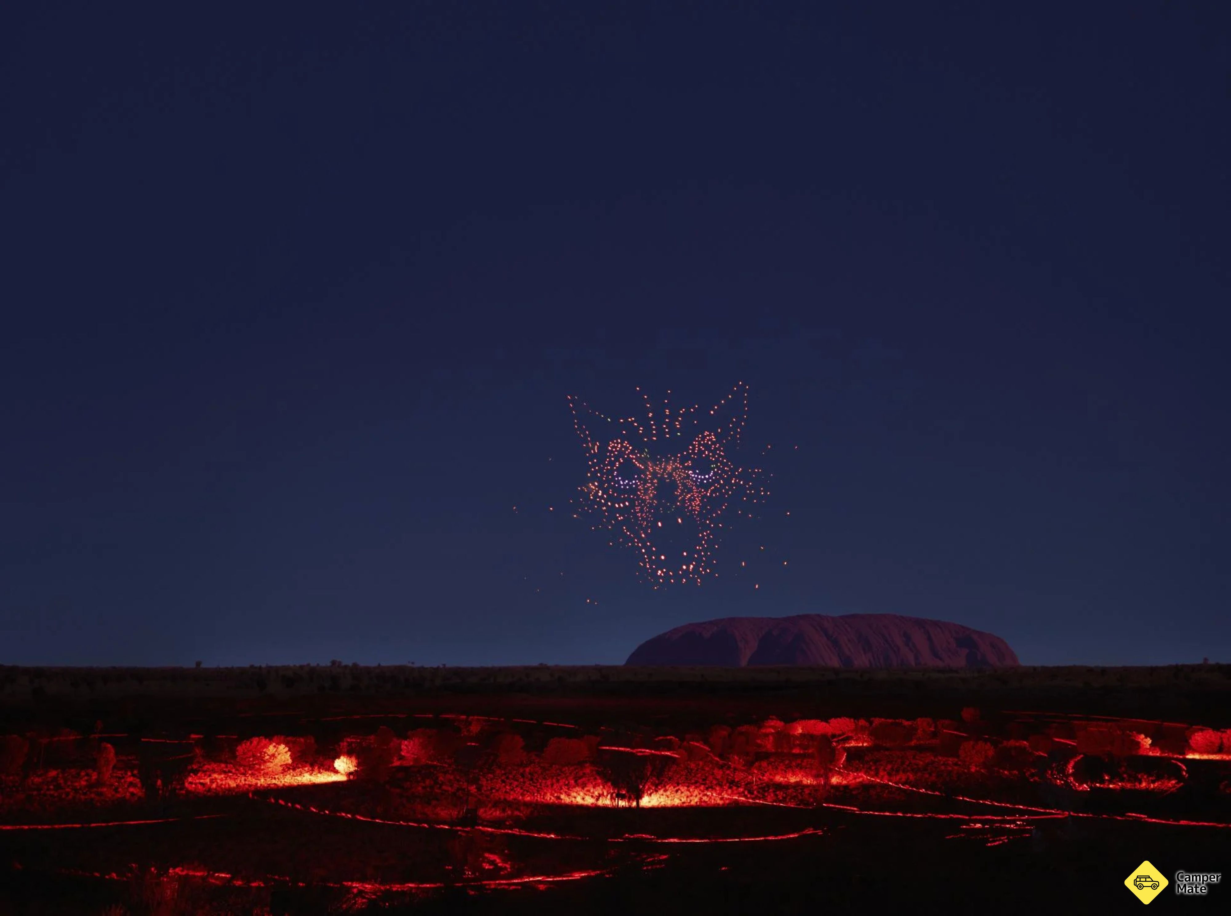
    • Wintjiri Wiru Twilight TourTourist AttractionsBookCome and see Wintjiri Wiru. A breathtaking cultural storytelling experience at Uluru brought to life by ground-breaking technology. Set up…
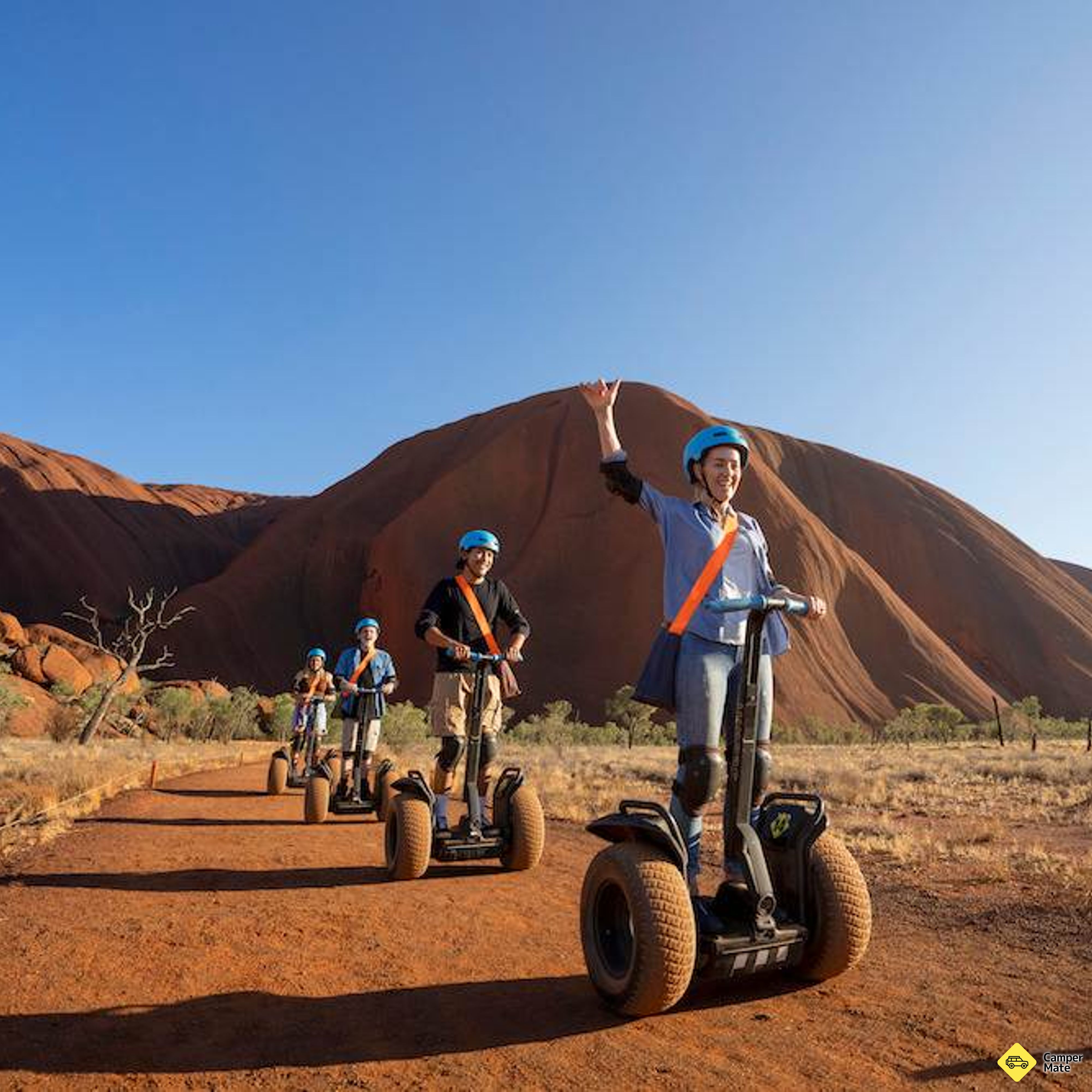
    • Uluru Segway ToursTourist AttractionsBookLooking for a unique way to explore Uluru and the Australian Outback? This 5 hour sunset Uluru Segway Tour will take you deep into the red…
  9. 300 km · 3 hr 30 min
    Uluru Sunset Viewing AreaDay 9

    Day 09 · Drive

    Kings Canyon → Uluṟu

    The long straight south

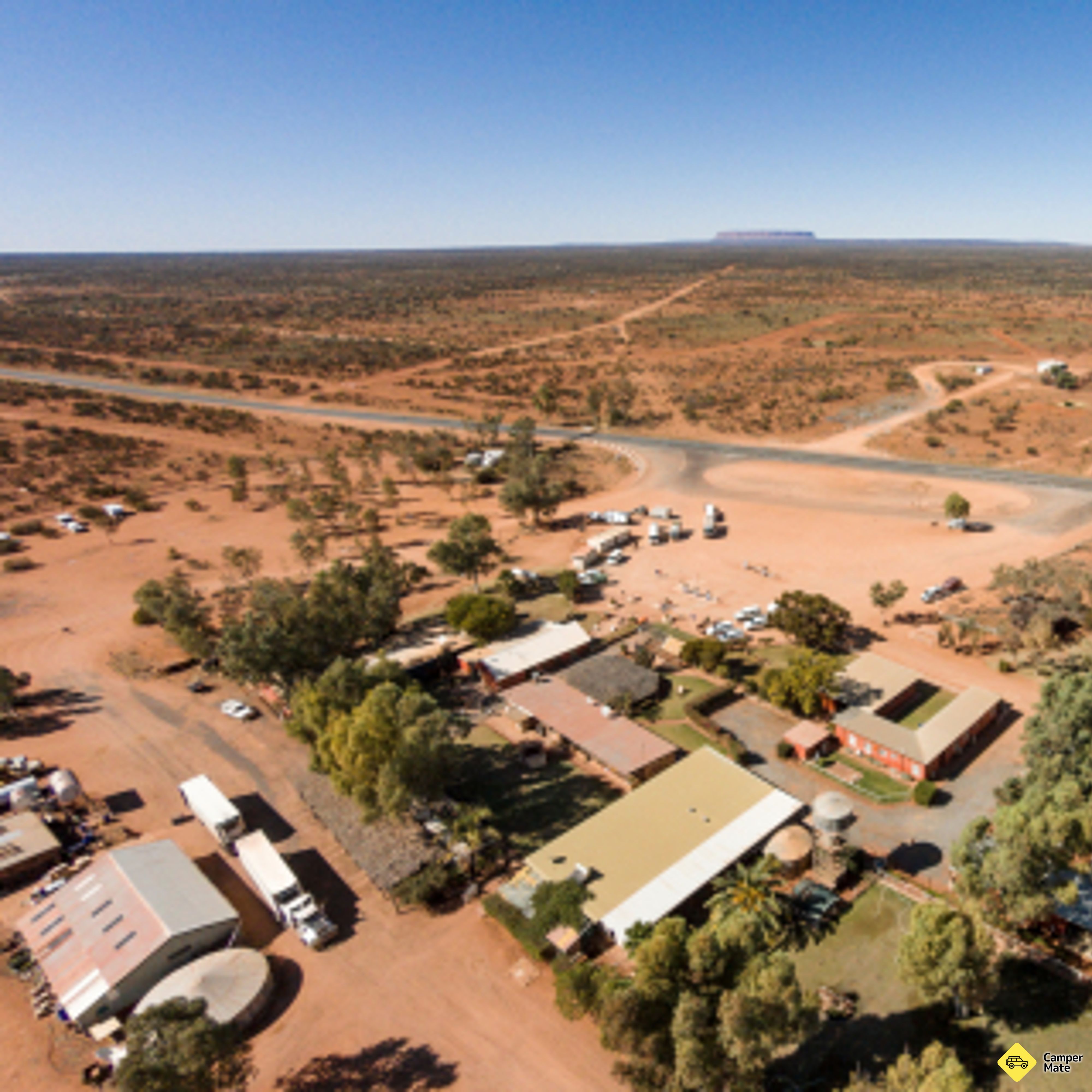
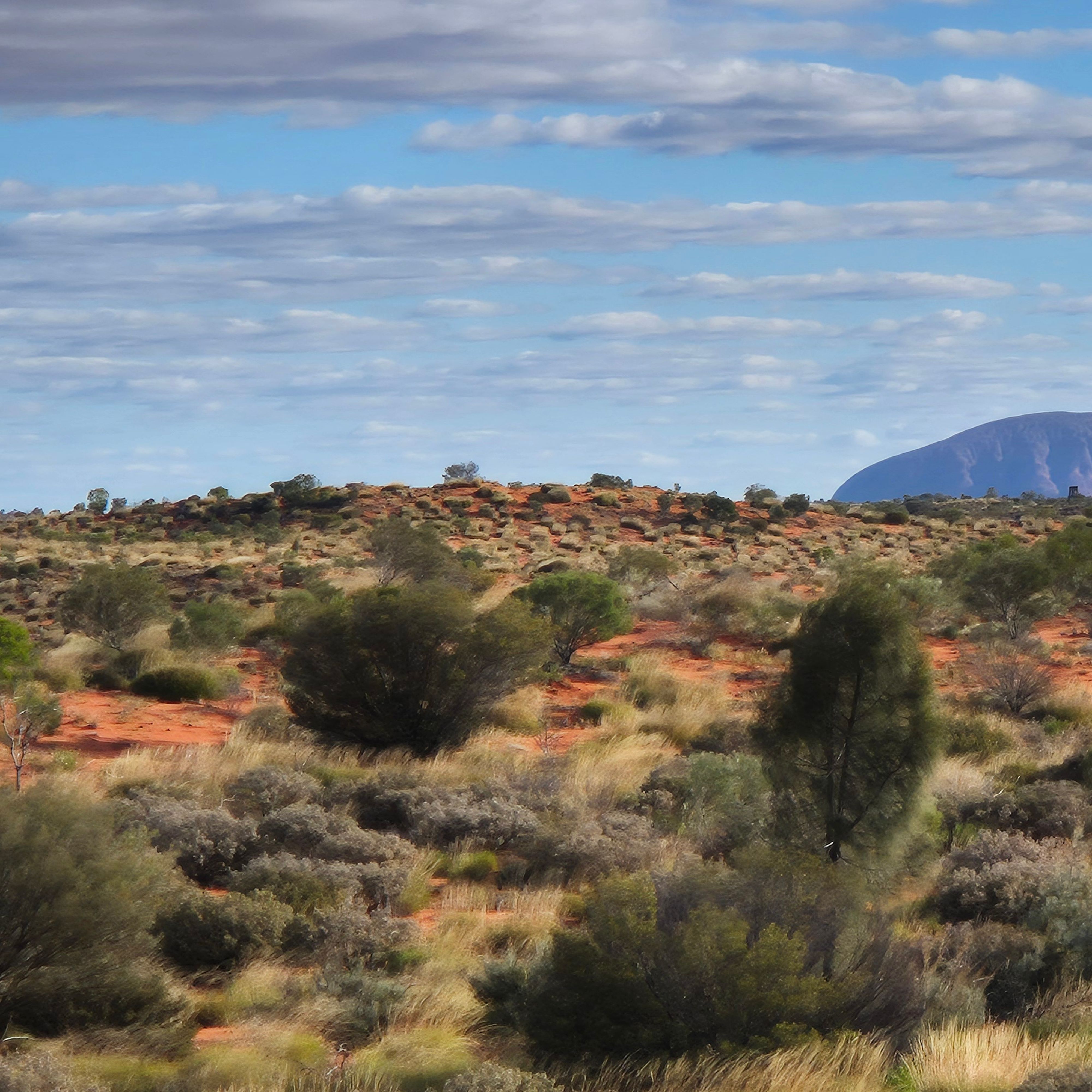
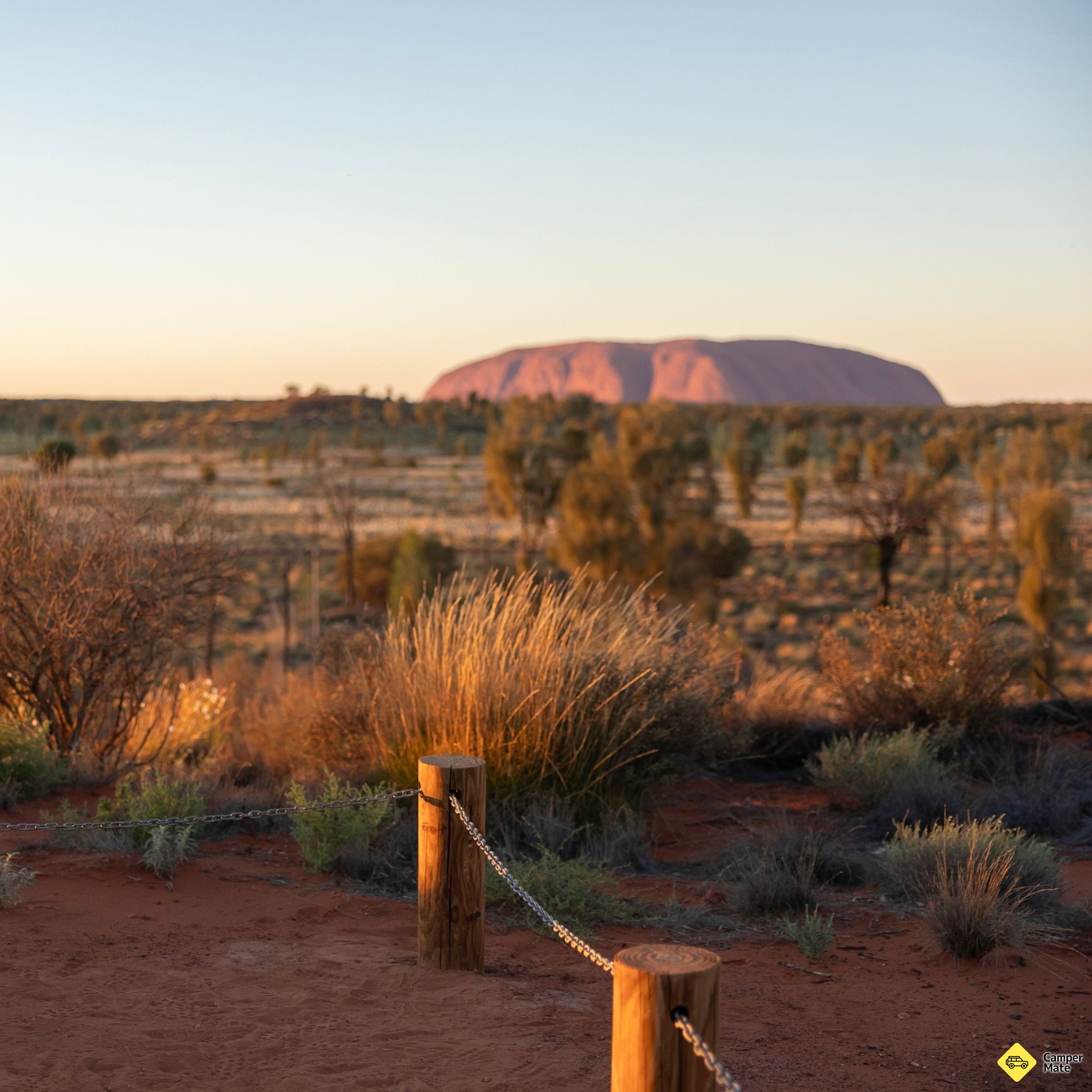
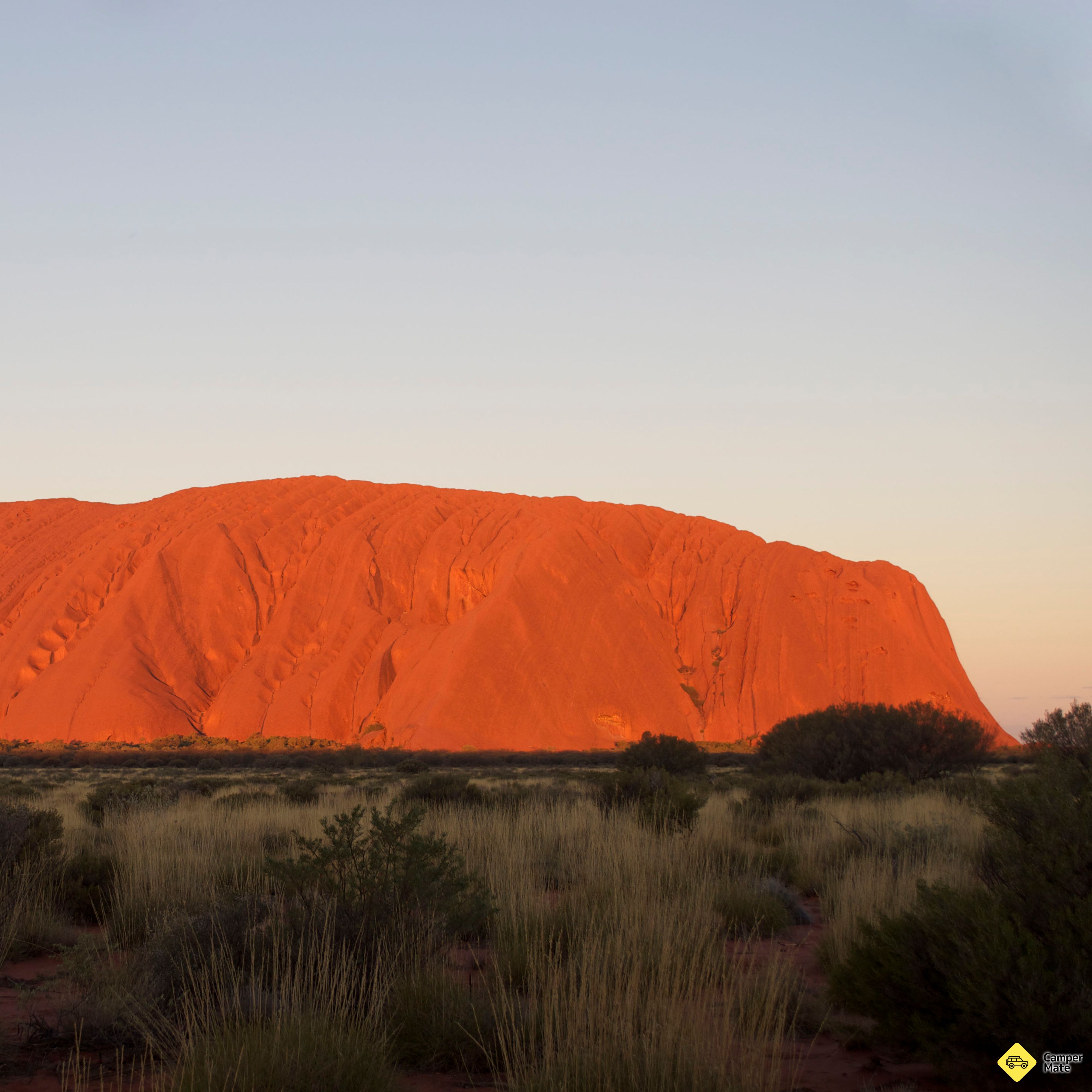
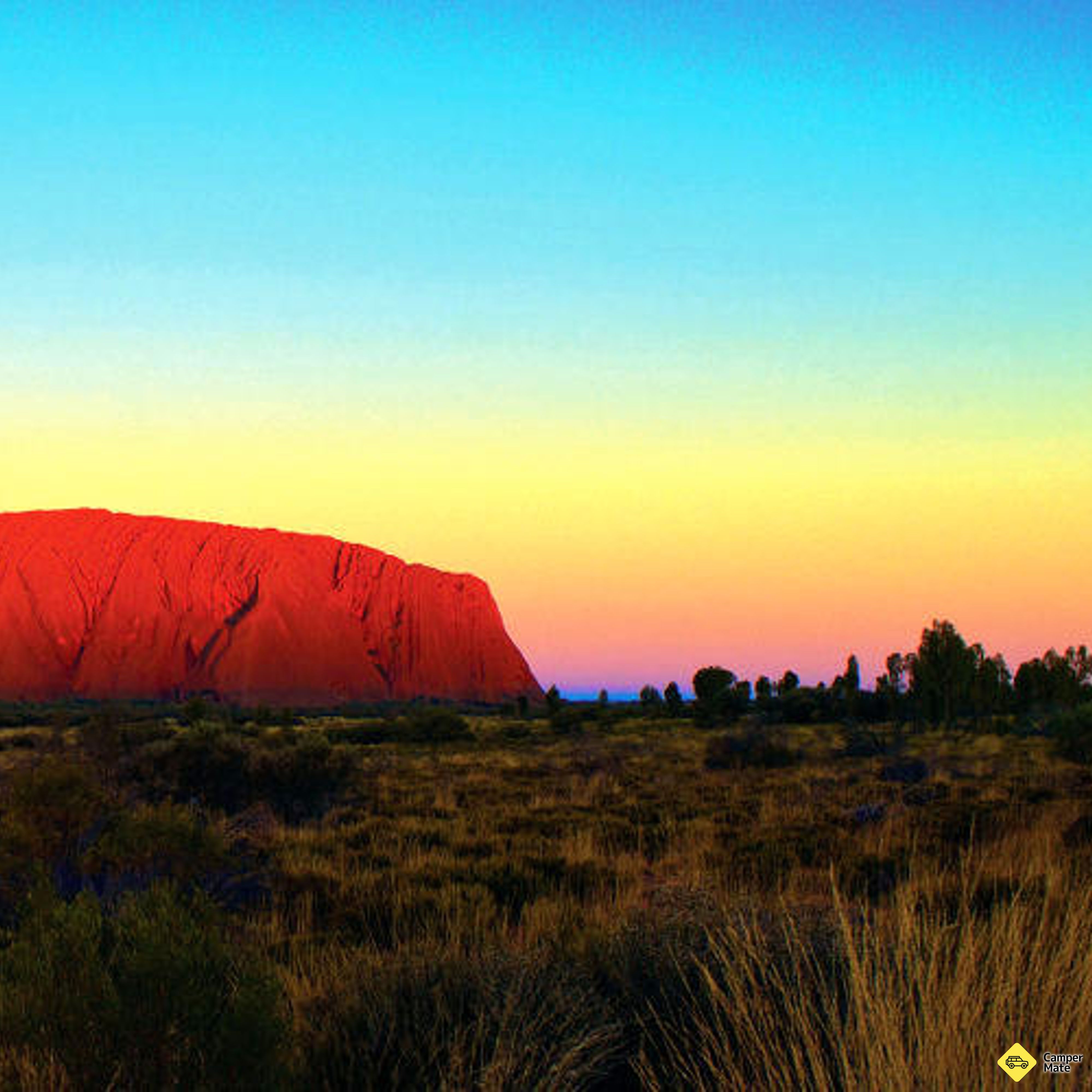
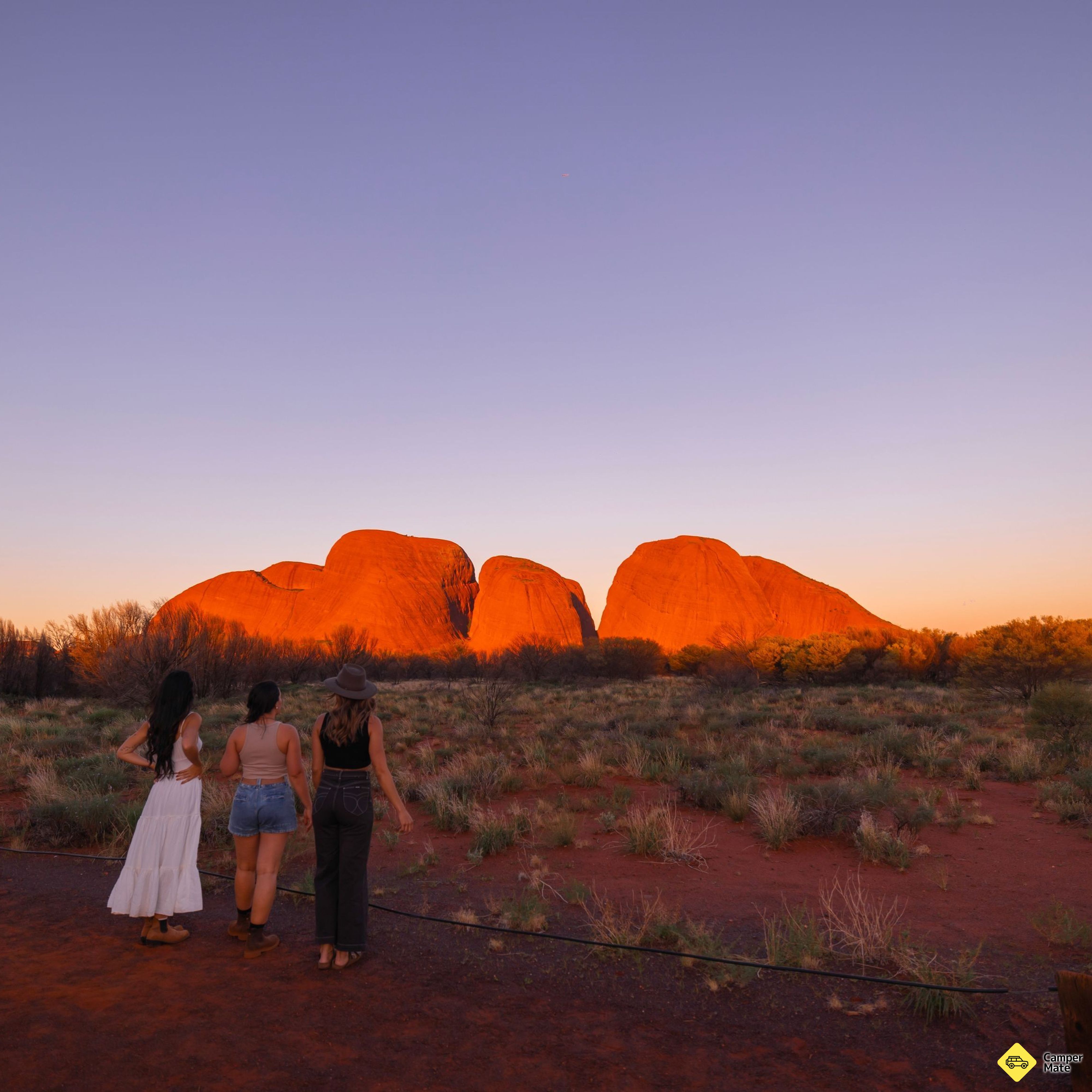
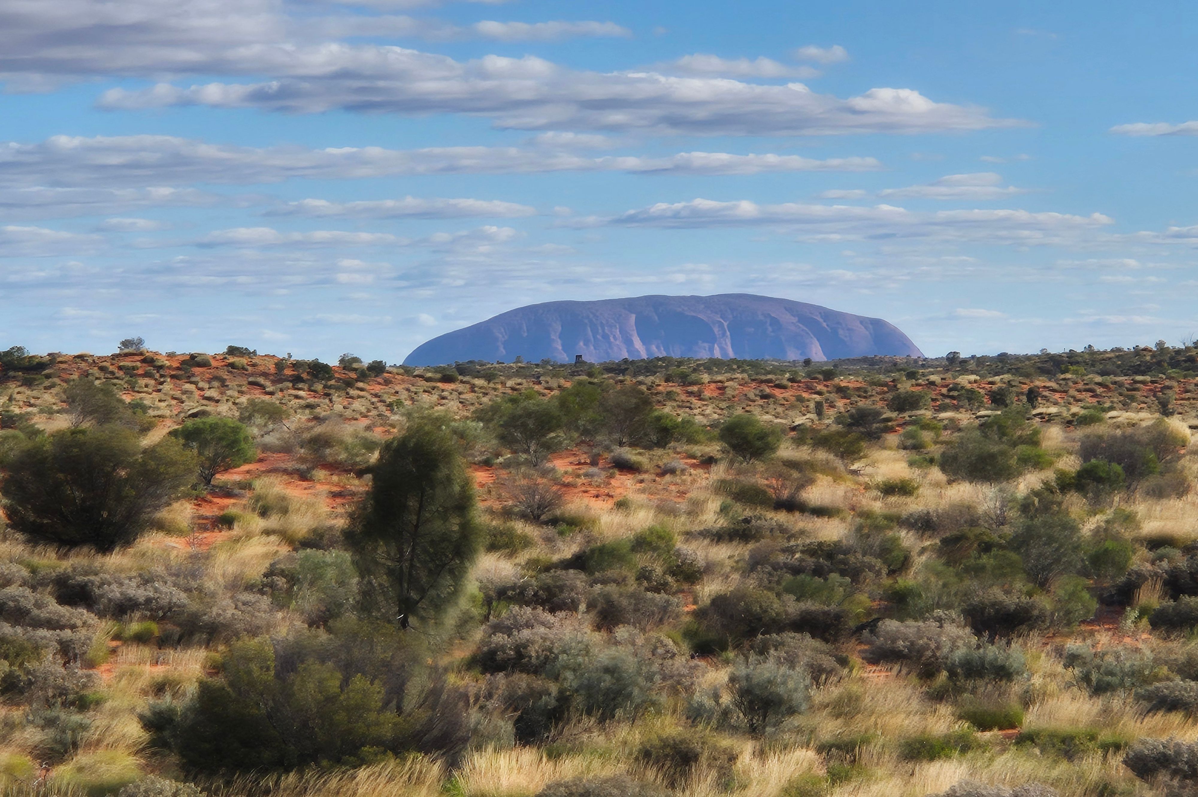
    Luritja Road to the Lasseter Highway, with Mount Conner rising off to the left about halfway — the flat-topped mesa that fools first-time drivers into thinking they have arrived. Pull in at Curtin Springs, then time the last hour for sunset at the rock.

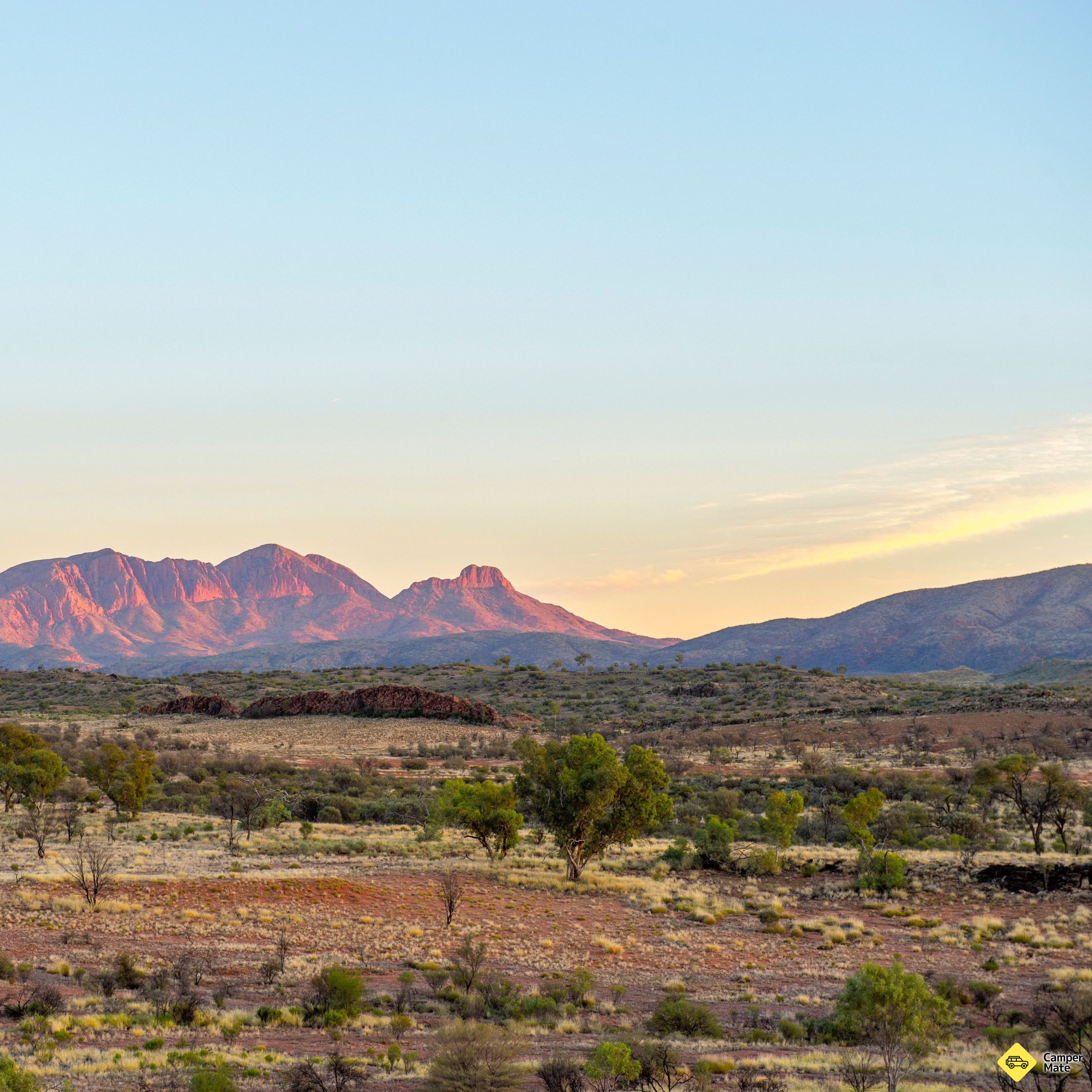
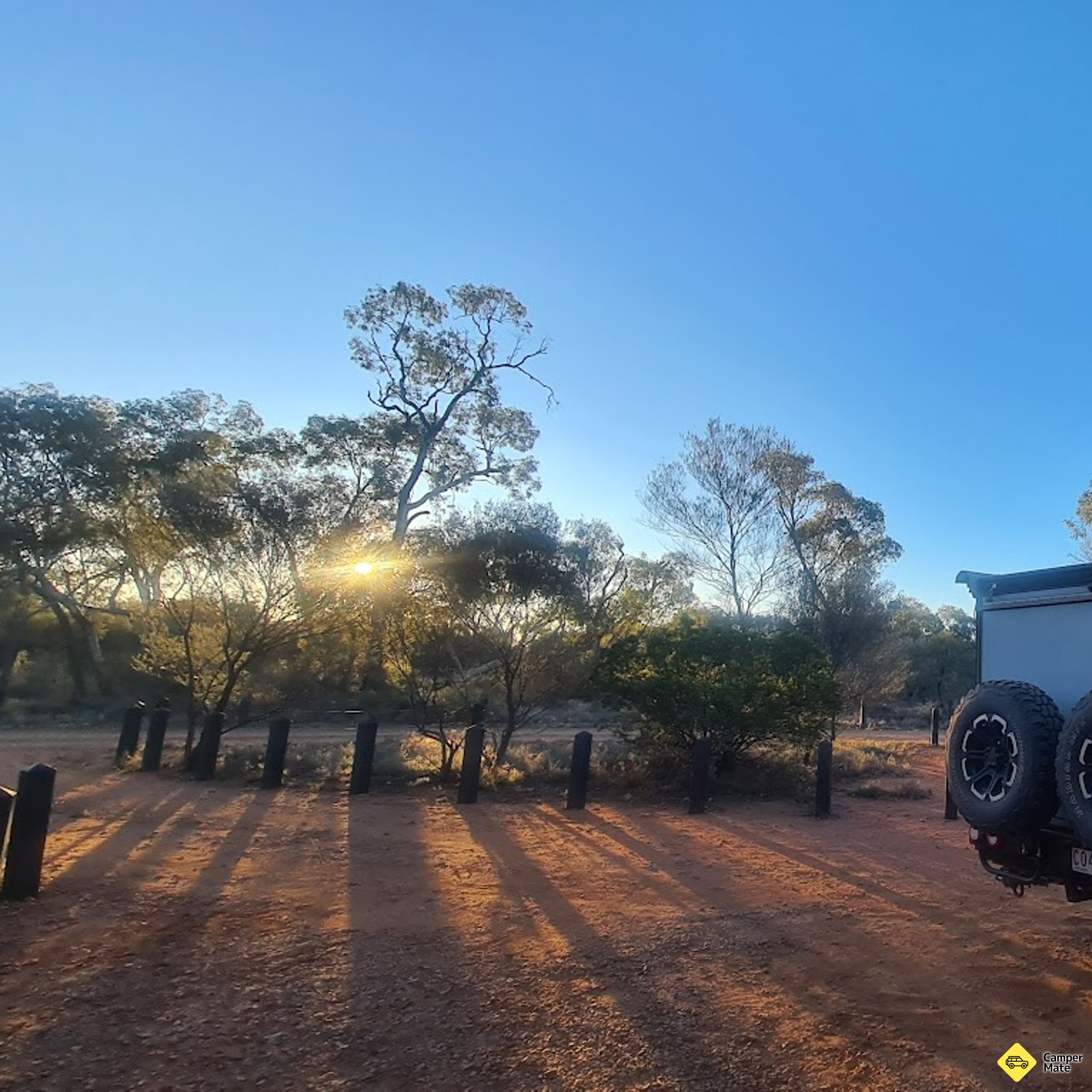
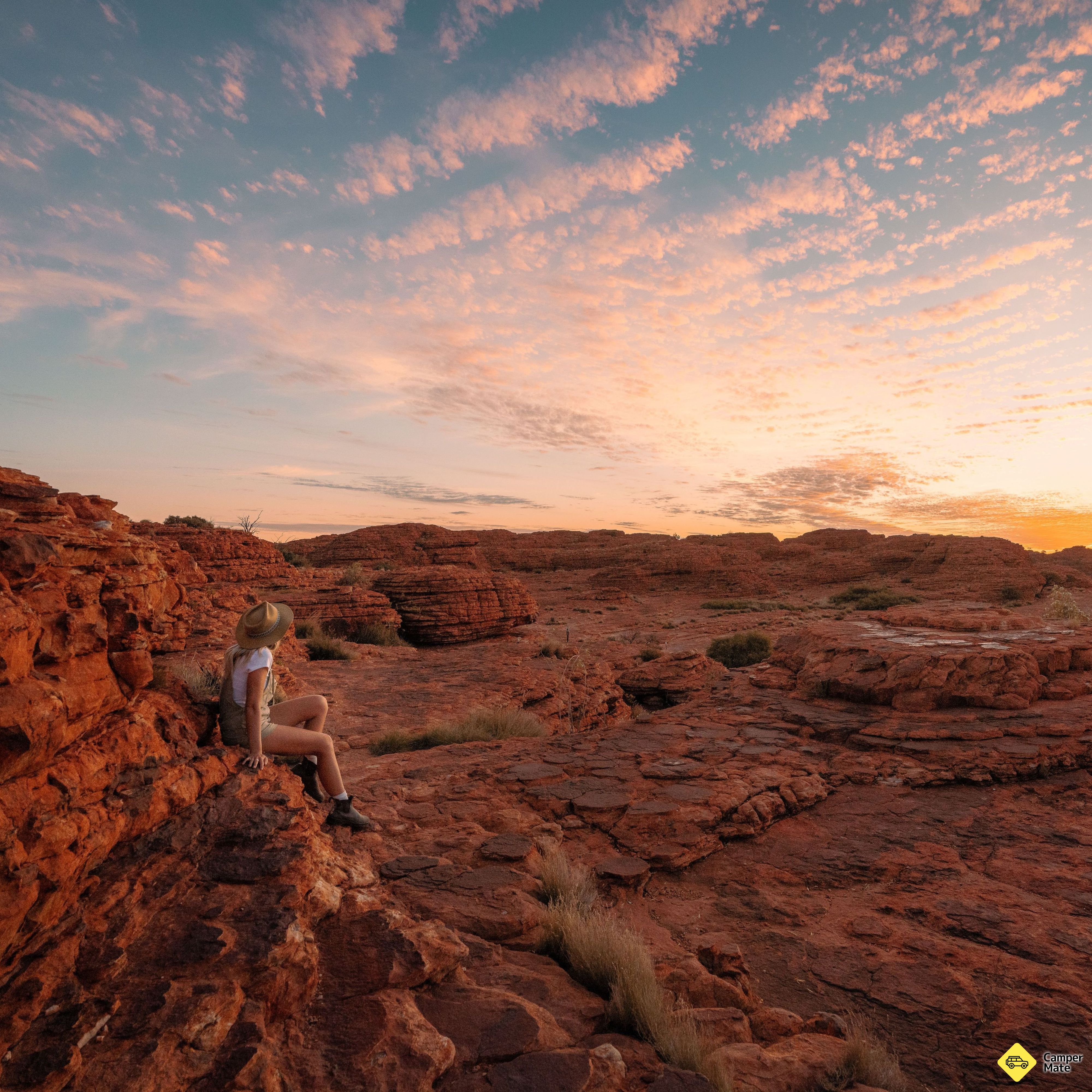
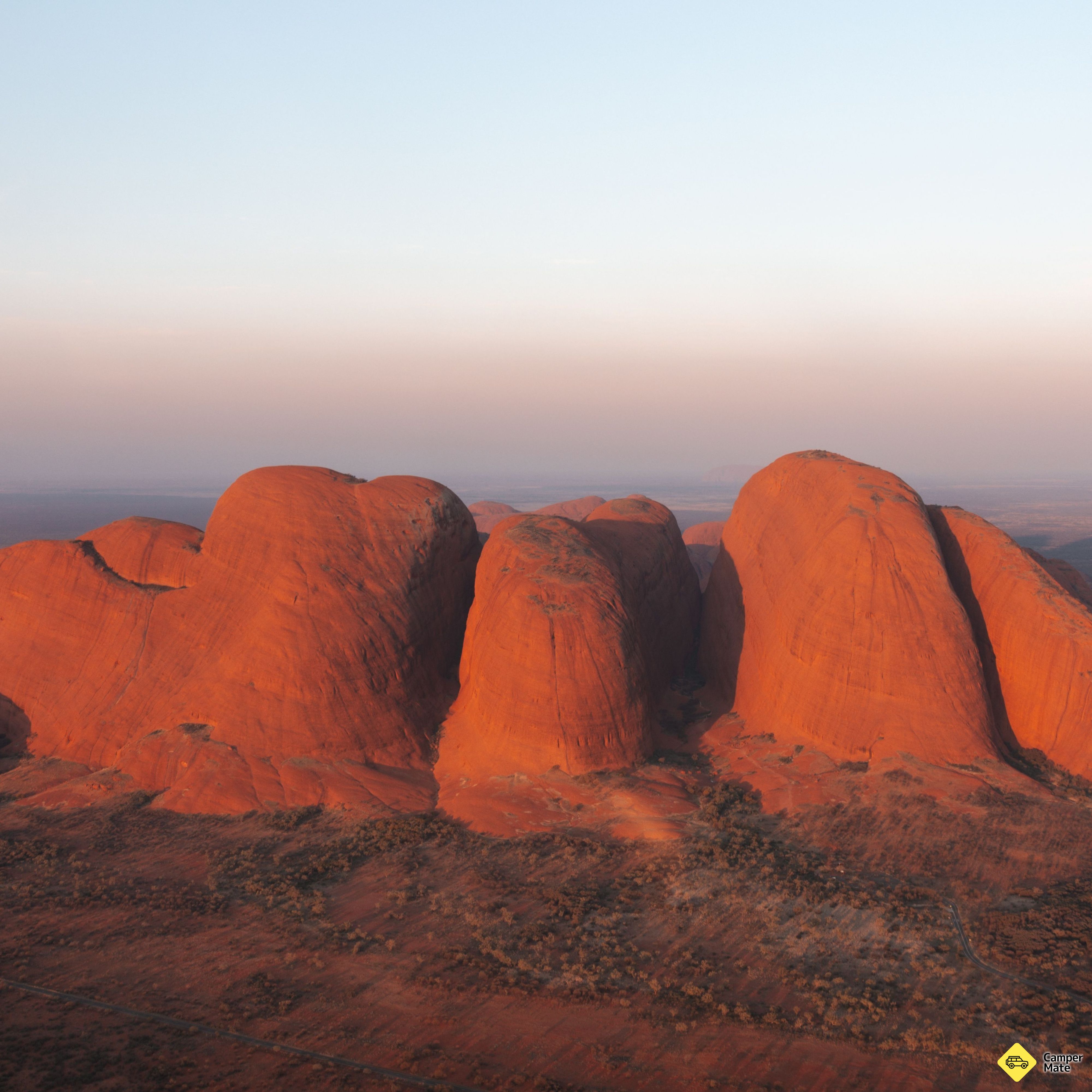
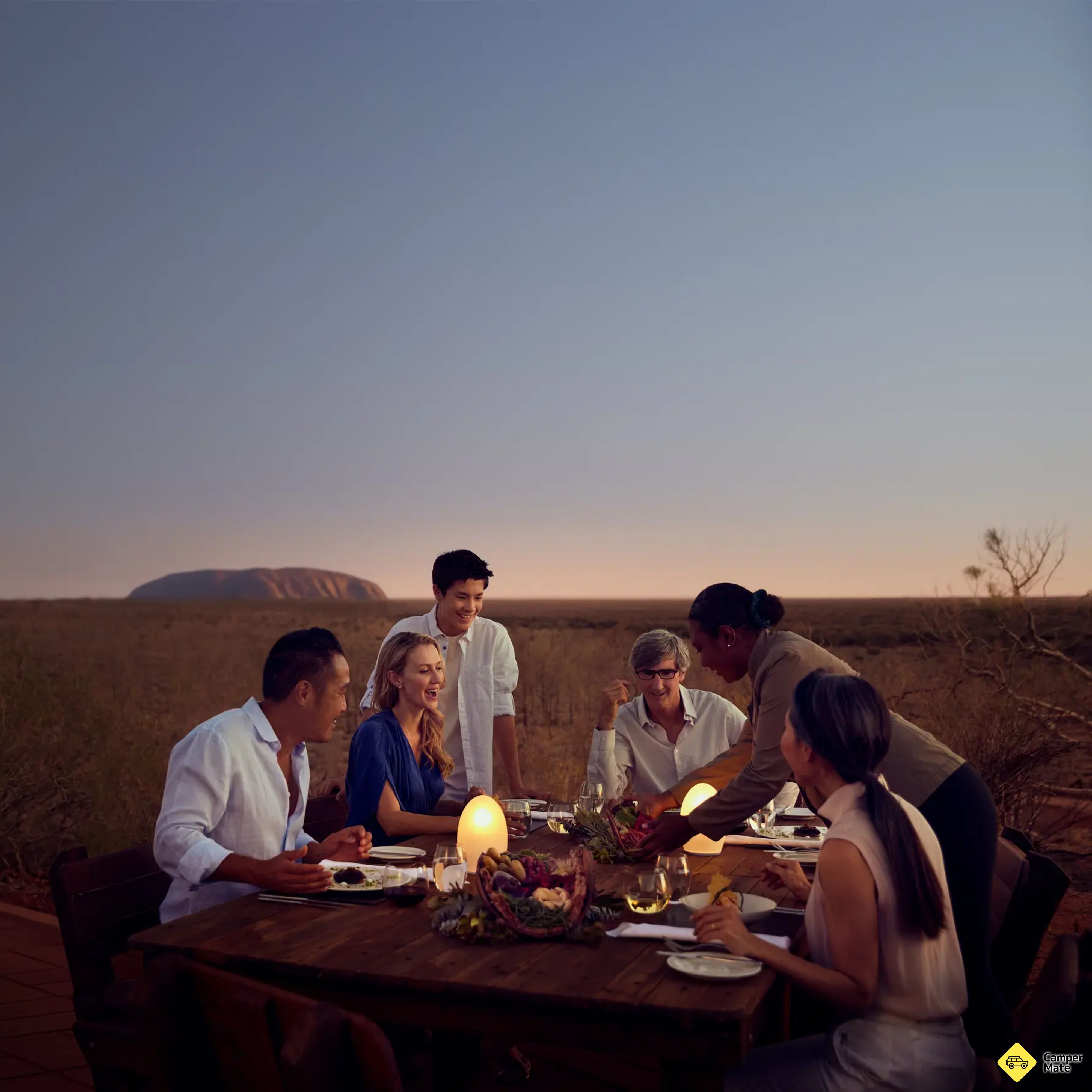
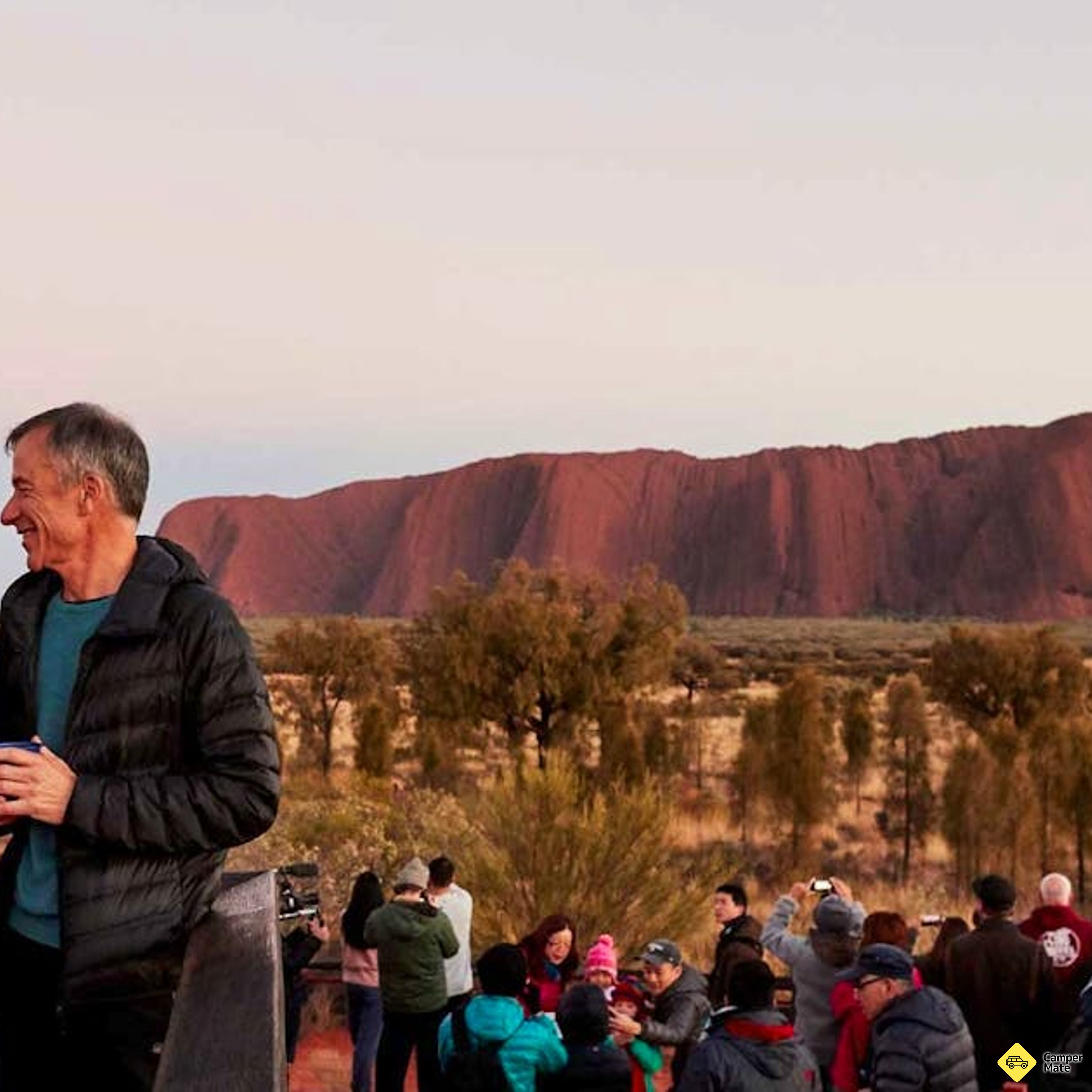
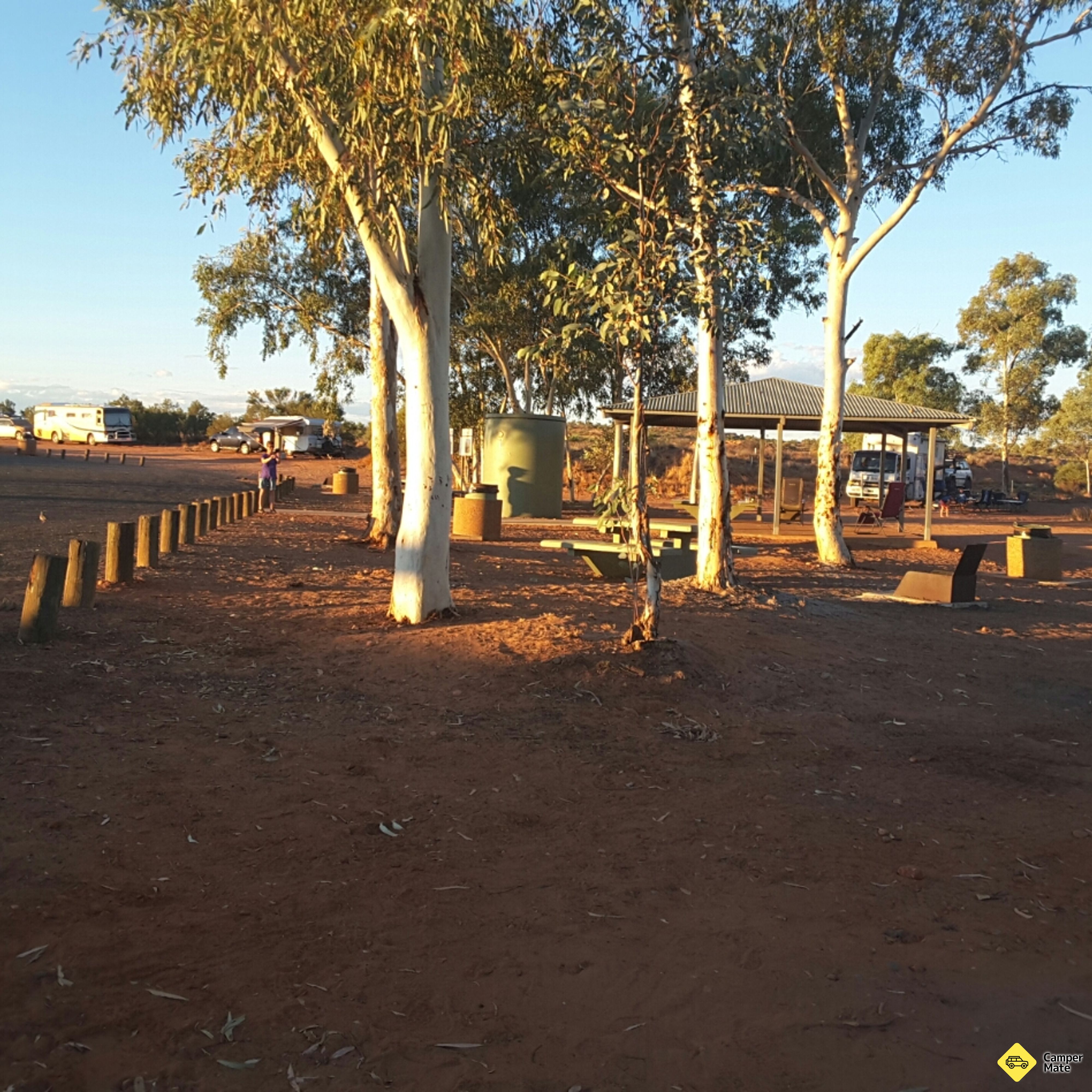
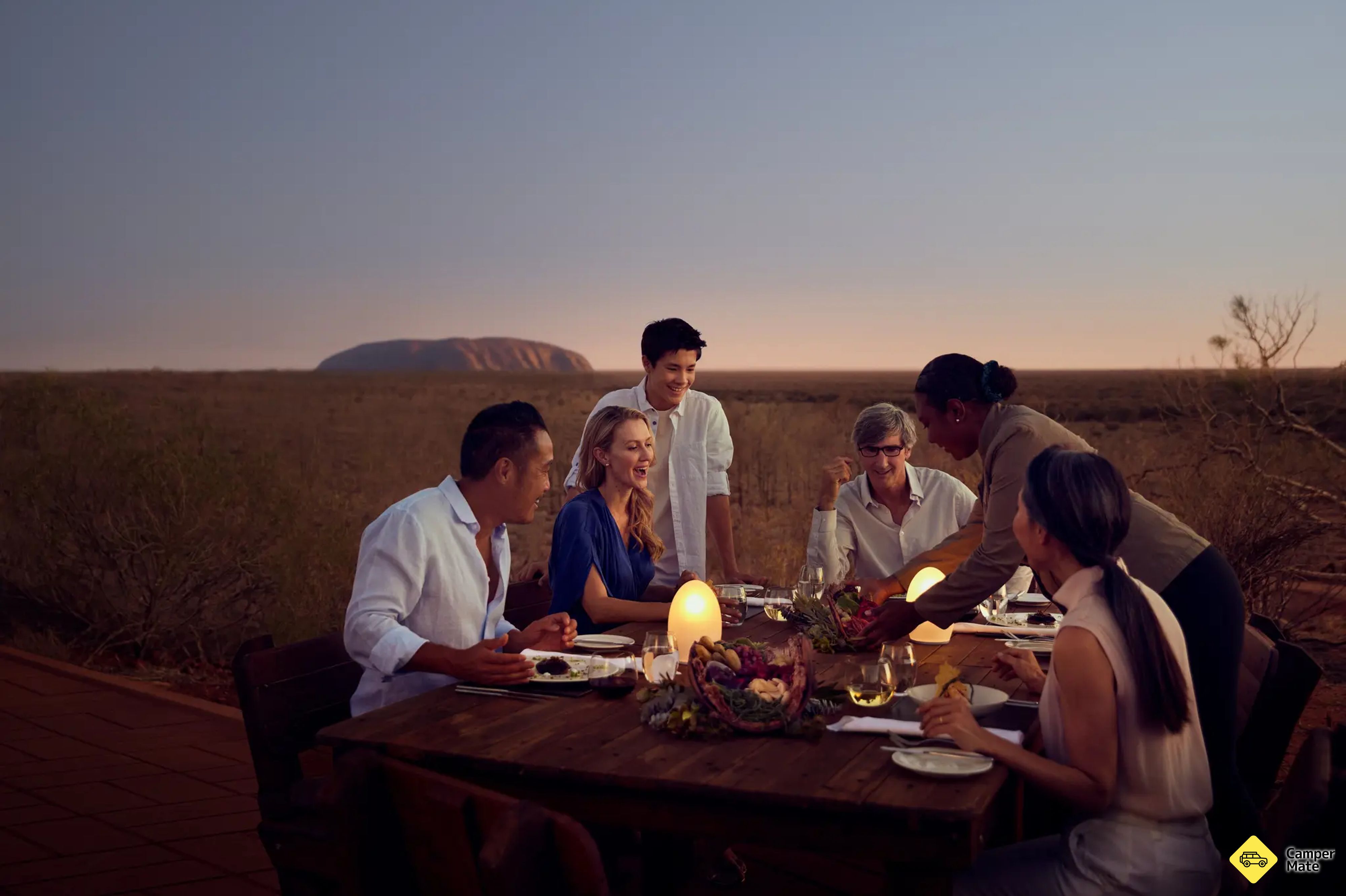
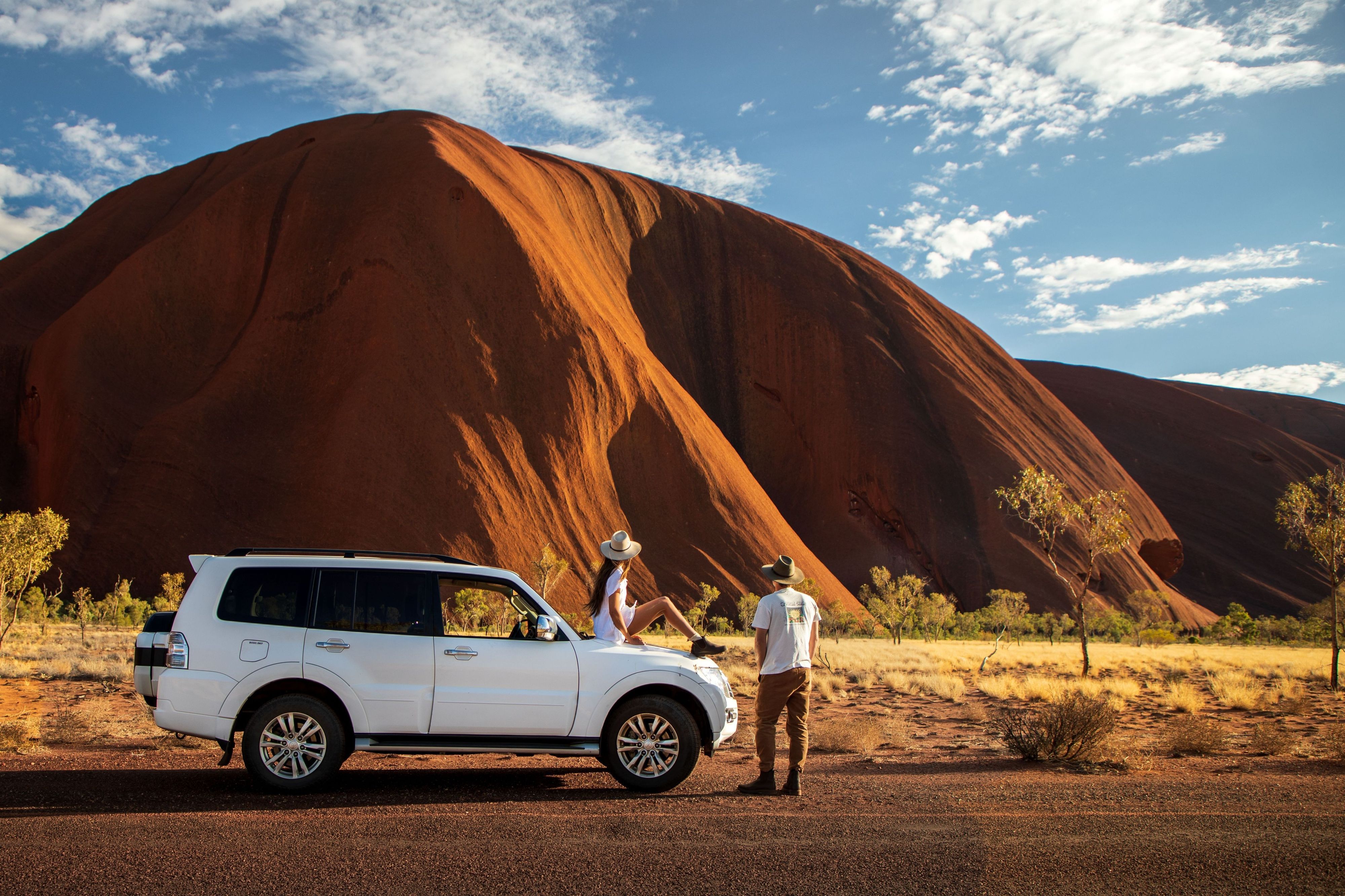
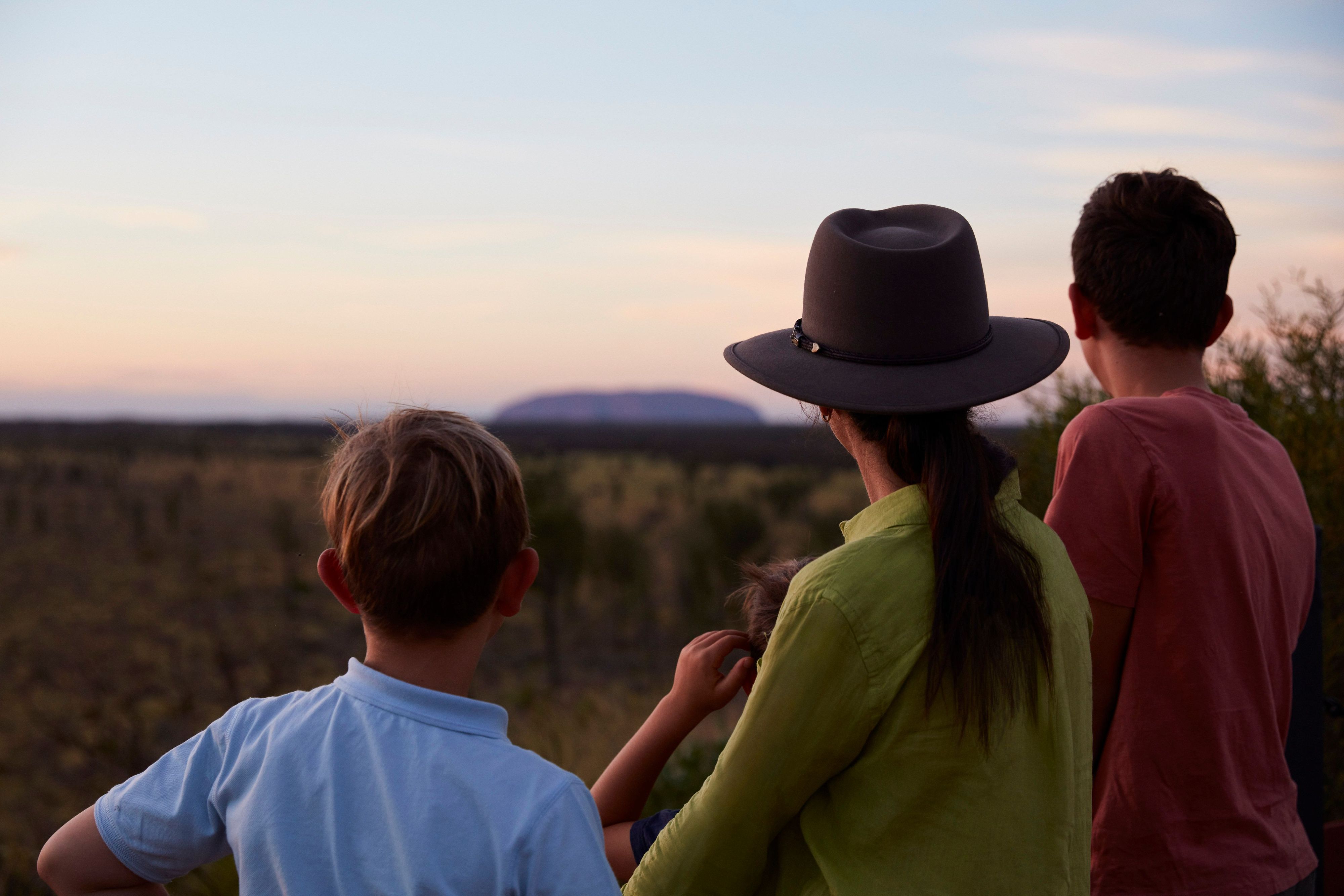
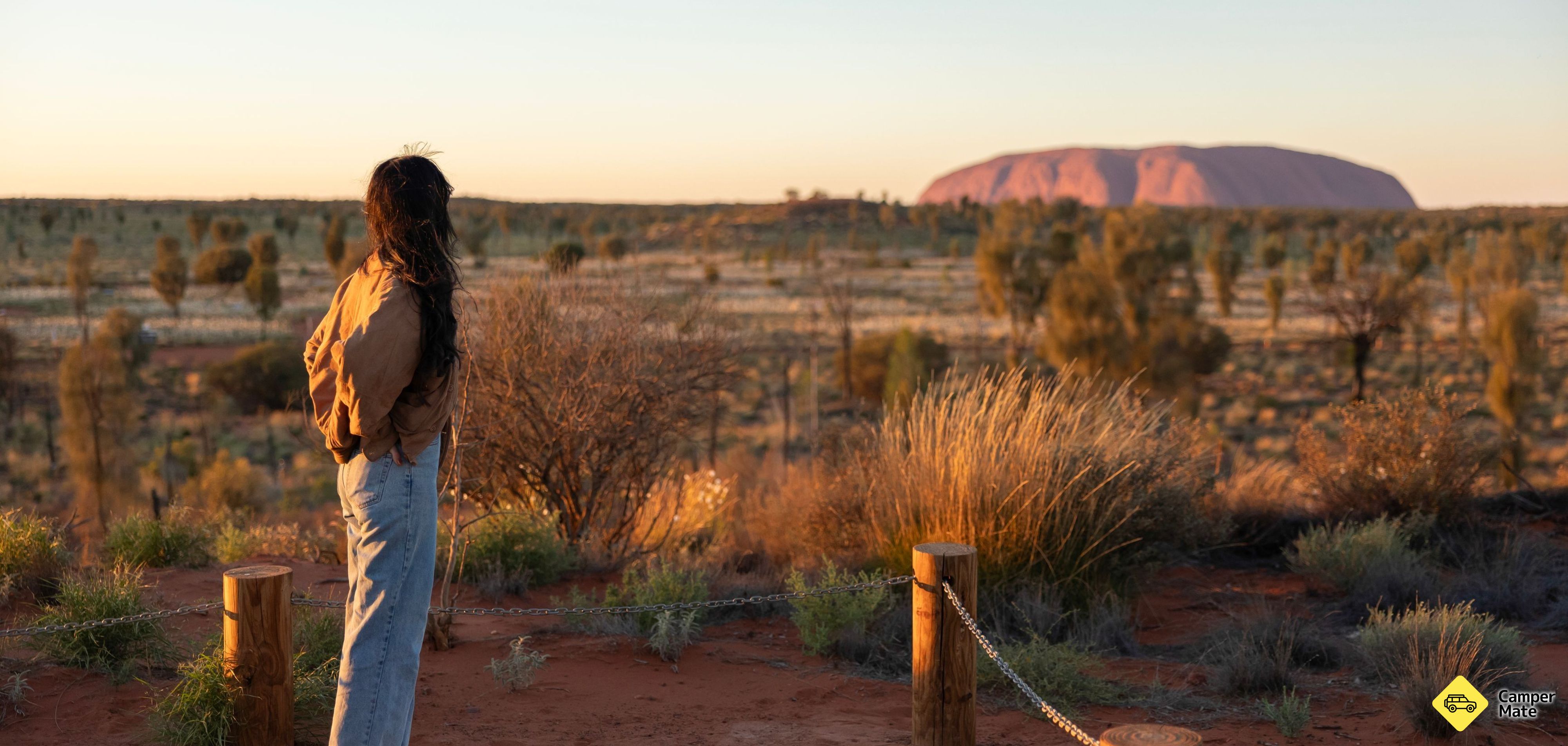
    • Uluru Sunset Viewing AreaScenic SpotsThis spot offers the perfect opportunity for that iconic Ulu·πüu photo. As the sun sets, the rock shifts from soft pink tones to vibrant or…
    Where to camp tonight3
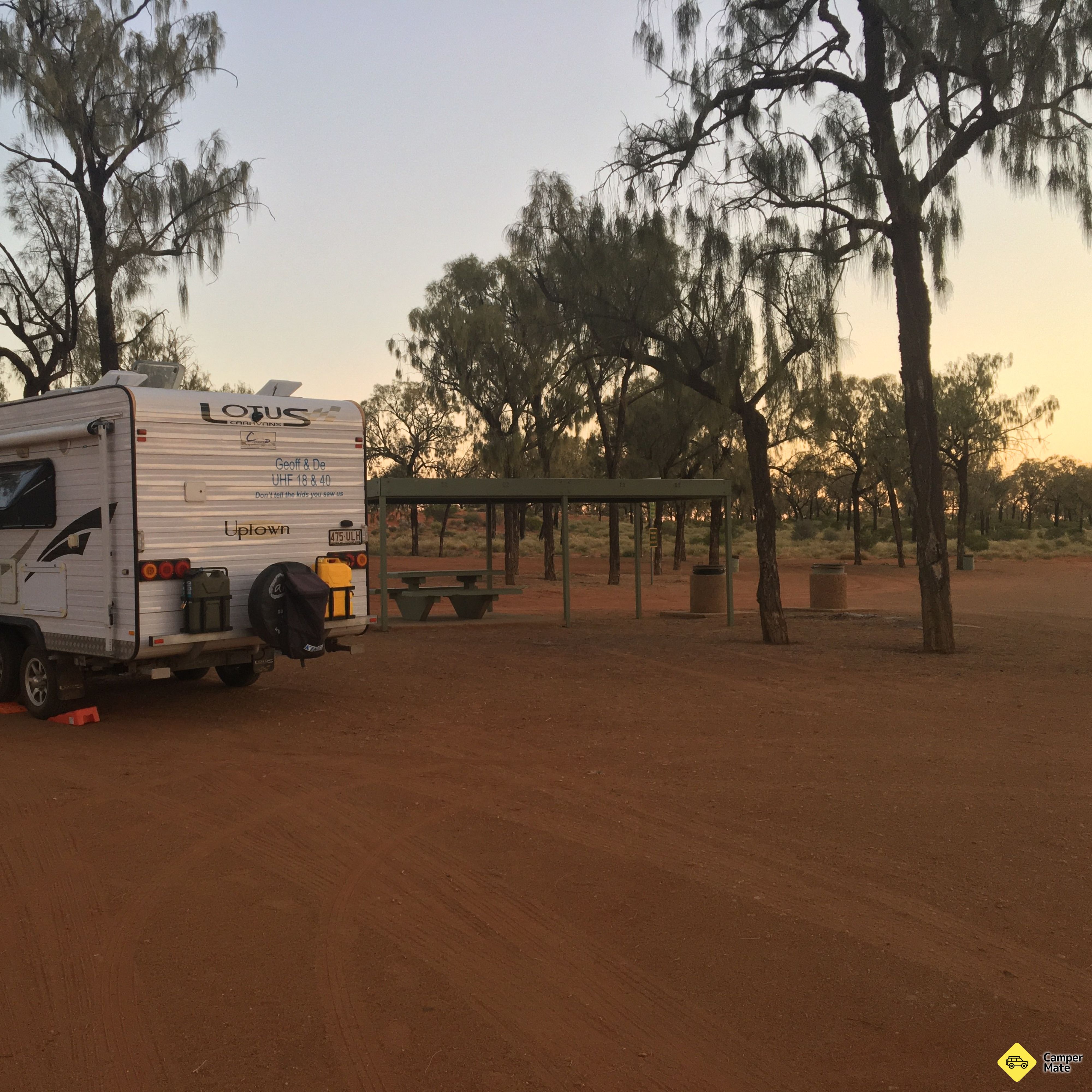
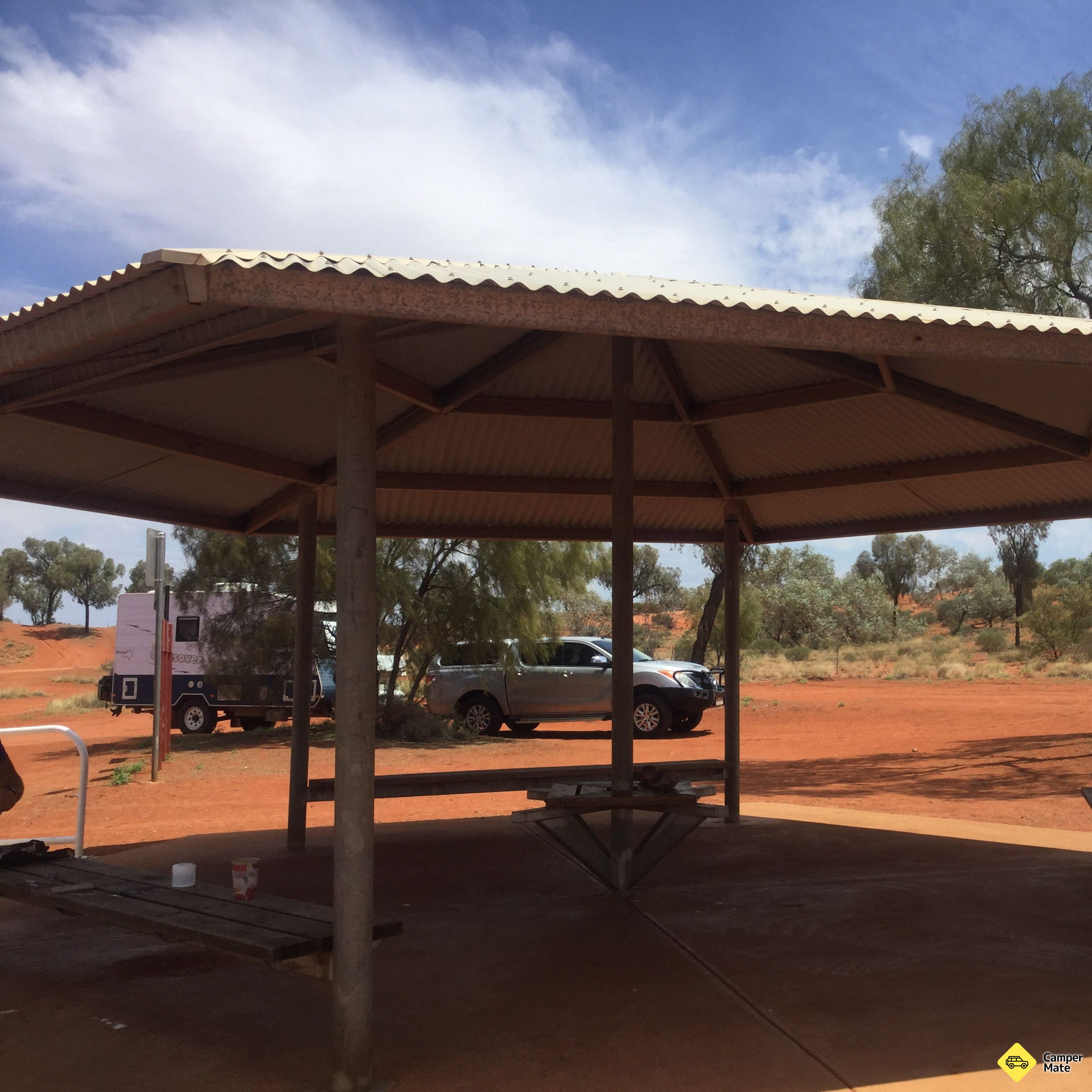
    • Curtin Springs East Rest AreaFree CampsitesSpacious and shaded camping area with no facilities (except for picnic tables and non-potable water), located just off the highway. Suitabl…
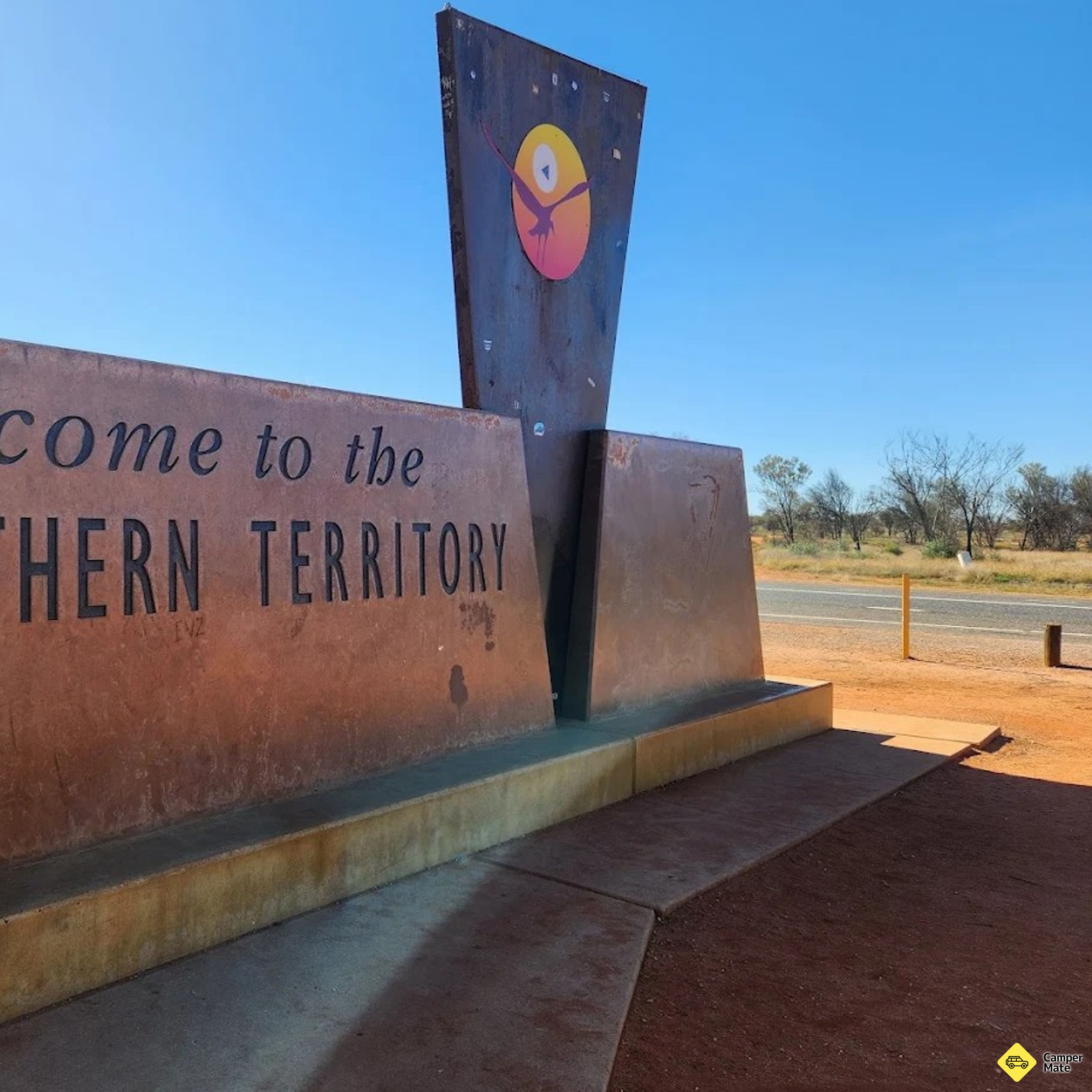
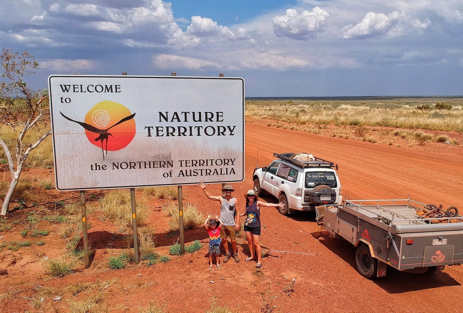
    • NT-SA BorderFree CampsitesRest area on the border of the Northern Territory and South Australia - where you can get a photo next to the iconic "Welcome to the NT sig…
    • Kernot Range Rest AreaFree CampsitesA dirt drive-through rest area located just off the highway. For overnight stays, you can drive further into the bush for some extra privac…
  10. Uluru Base WalkDay 10

    Day 10

    Uluṟu

    The base walk

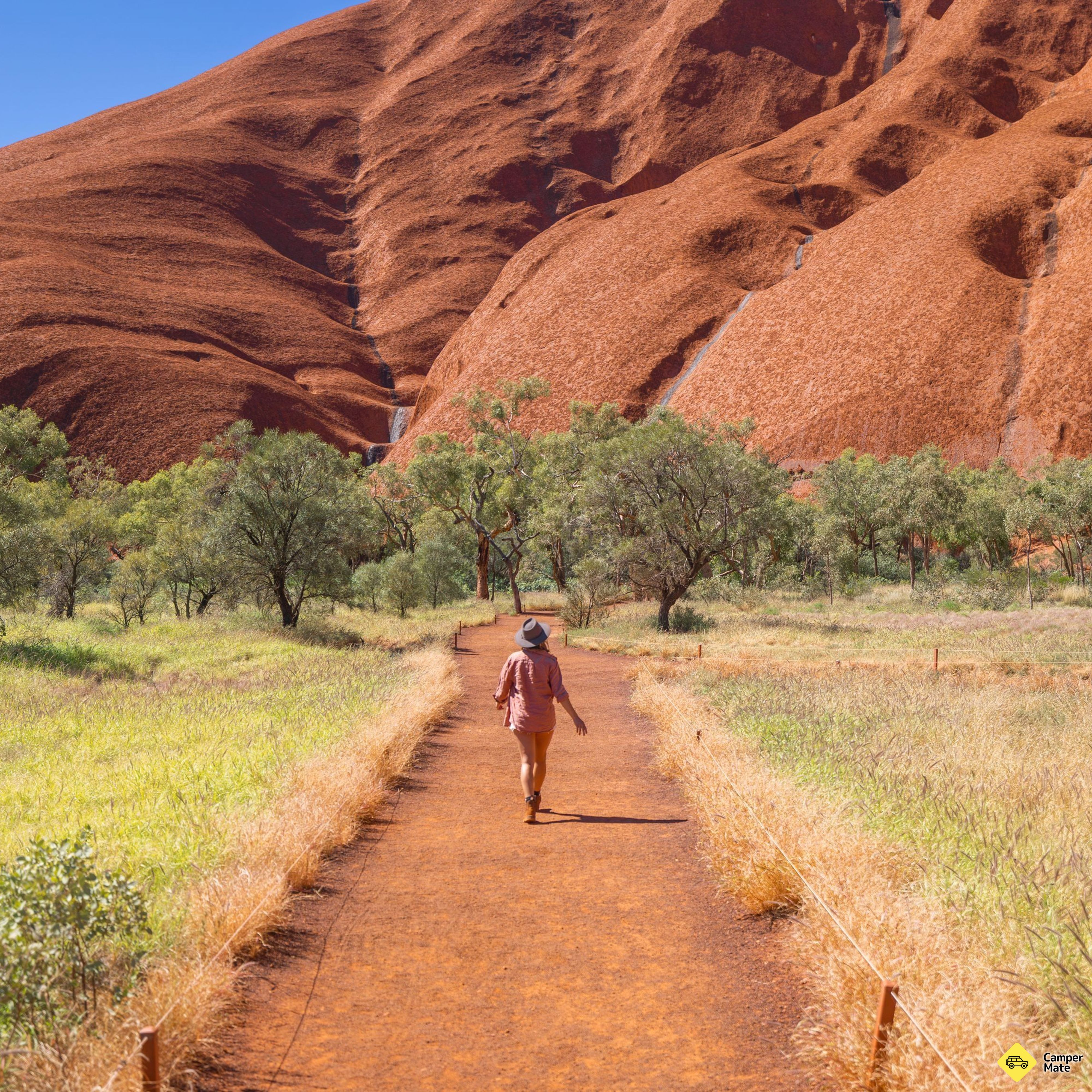
    Ten kilometres round the rock, flat and best done early. Start at the Cultural Centre so the Anangu account of the place travels round the base with you.

    • Uluru Base WalkWalking & HikingWalking around Ulu·πüu is your best opportunity to connect with the rock and learn its stories. The Ulu·πüu base walk is about 10 km of tr…
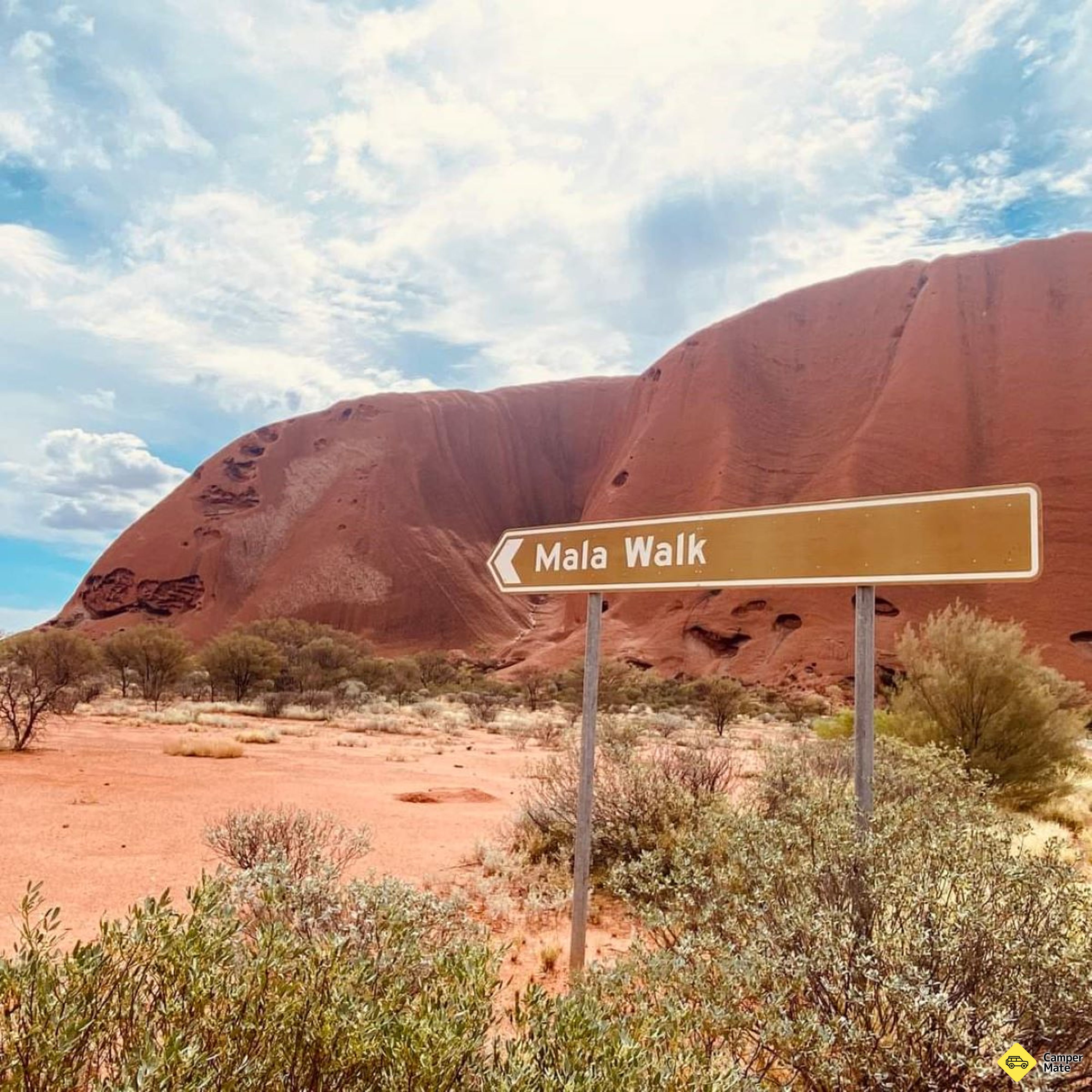
    If you want to skip it it's no big deal. Most of it is quite boring and you walk far from the rock. The best part is near the waterhole, you can start from there and go towards the mala walk (that was very interesting with the ranger explaining a lot).
    CamperMate traveller
    Where to camp tonight3
    • Curtin Springs East Rest AreaFree CampsitesSpacious and shaded camping area with no facilities (except for picnic tables and non-potable water), located just off the highway. Suitabl…
    • NT-SA BorderFree CampsitesRest area on the border of the Northern Territory and South Australia - where you can get a photo next to the iconic "Welcome to the NT sig…
    • Kernot Range Rest AreaFree CampsitesA dirt drive-through rest area located just off the highway. For overnight stays, you can drive further into the bush for some extra privac…
    Worth booking nearby3
    • Uluru Base Sunset Walking TourTourist AttractionsBookExperience the magic of Uluru at sunset, a moment to treasure with loved ones. With a glass of sparkling wine in hand, marvel at the breath…
    • Uluru Morning Guided Base WalkTourist AttractionsBookDiscover the natural and historical beauty of Uluru with the 10.5km Uluru Morning Guided Base Walk Tour. You and your fellow adventure-seek…
    • The Mala WalkWalking & HikingVisit ancient campsites, learn about ceremonies and rites of passage, and discover Anangu daily life. This walk goes from the Mala carpark…
  11. Kata Tjuta - Sunset Viewing AreaDay 11

    Day 11

    Kata Tjuṯa

    The other domes

    Give Kata Tjuṯa its own day. The Valley of the Winds walk threads between the domes to two lookouts and is the better of the two trails here — closed above 36°C, so start early. Sunset from the dune viewing area to finish.

    • Kata Tjuta Valley of the Winds WalkWalking & HikingThe Valley of the Winds trail allows visitors to fully immerse themselves in the stunning landscape of Kata Tjuta's rock formations. Along…
    Valley of the winds walk was spectacular. We did the loop and it was worth it! Amazing walk and it wasn’t difficult.
    CamperMate traveller
    Where to camp tonight3
    • Salt Creek Rest AreaFree CampsitesRest area next to highway so can be noisy. Two picnic tables, one being sheltered, a unfiltered water tank with tap and a few garbage bins…
    • Desert Oaks Rest AreaFree CampsitesLarge gravel rest area on Stuart Hwy. Sheltered picnic tables, toilets and bins available. Some shade from trees. Located 167km S of Alice…
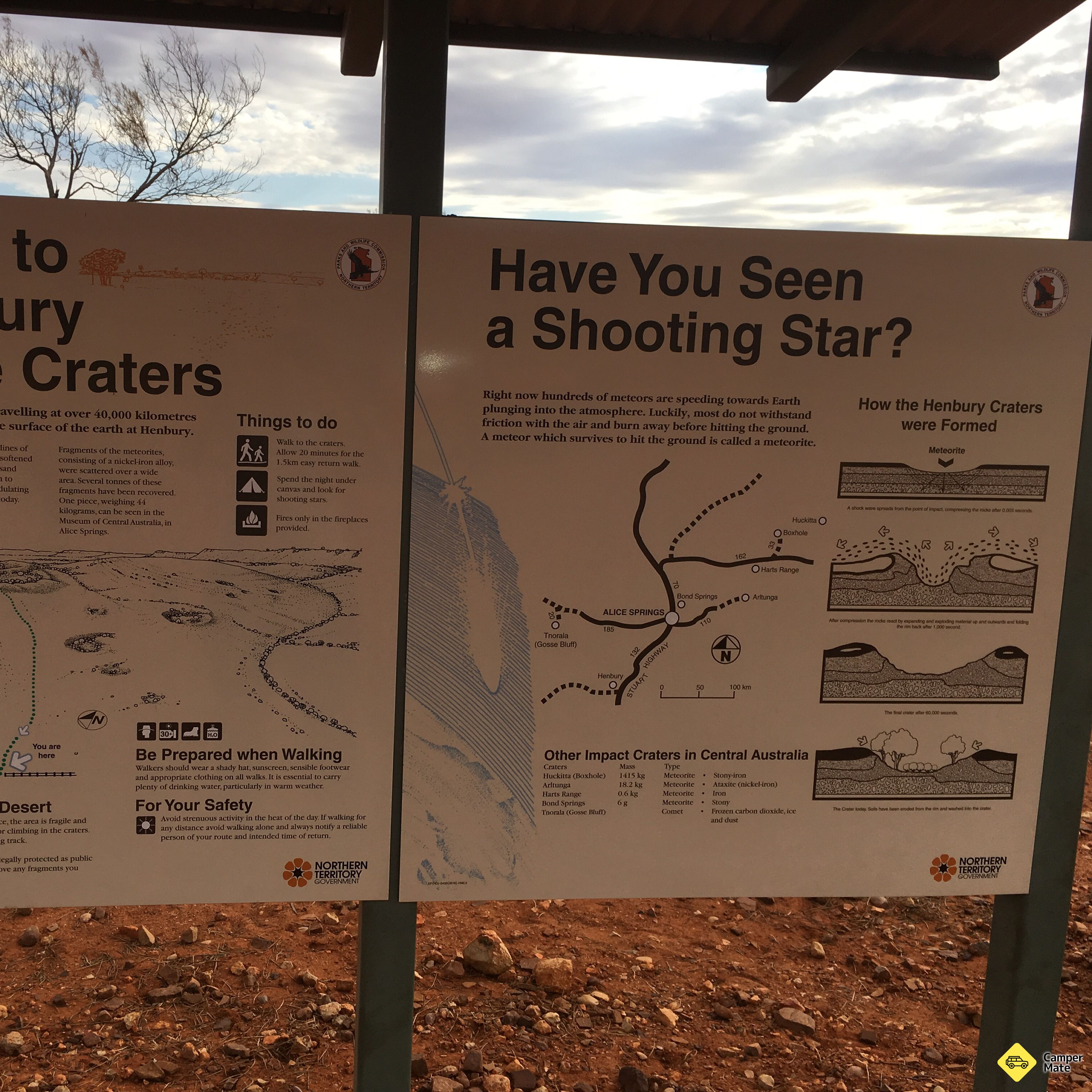
    • Henbury Meteorite CratersPaid CampsitesHenbury Meteorite Craters camping area provides sites for tents and camper trailers. Facilities include toilets, BBQ and picnic tables. Act…
    Worth booking nearby3
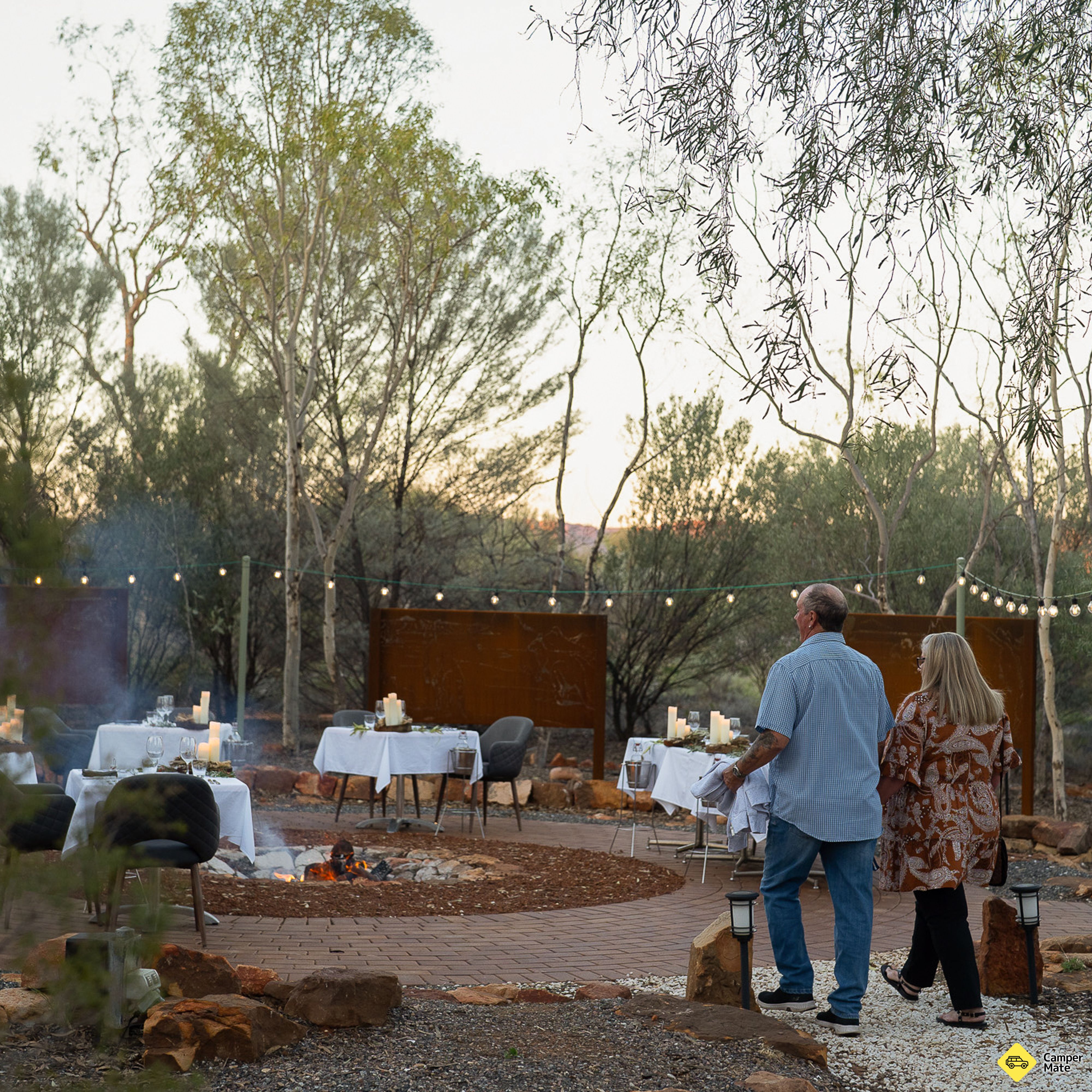
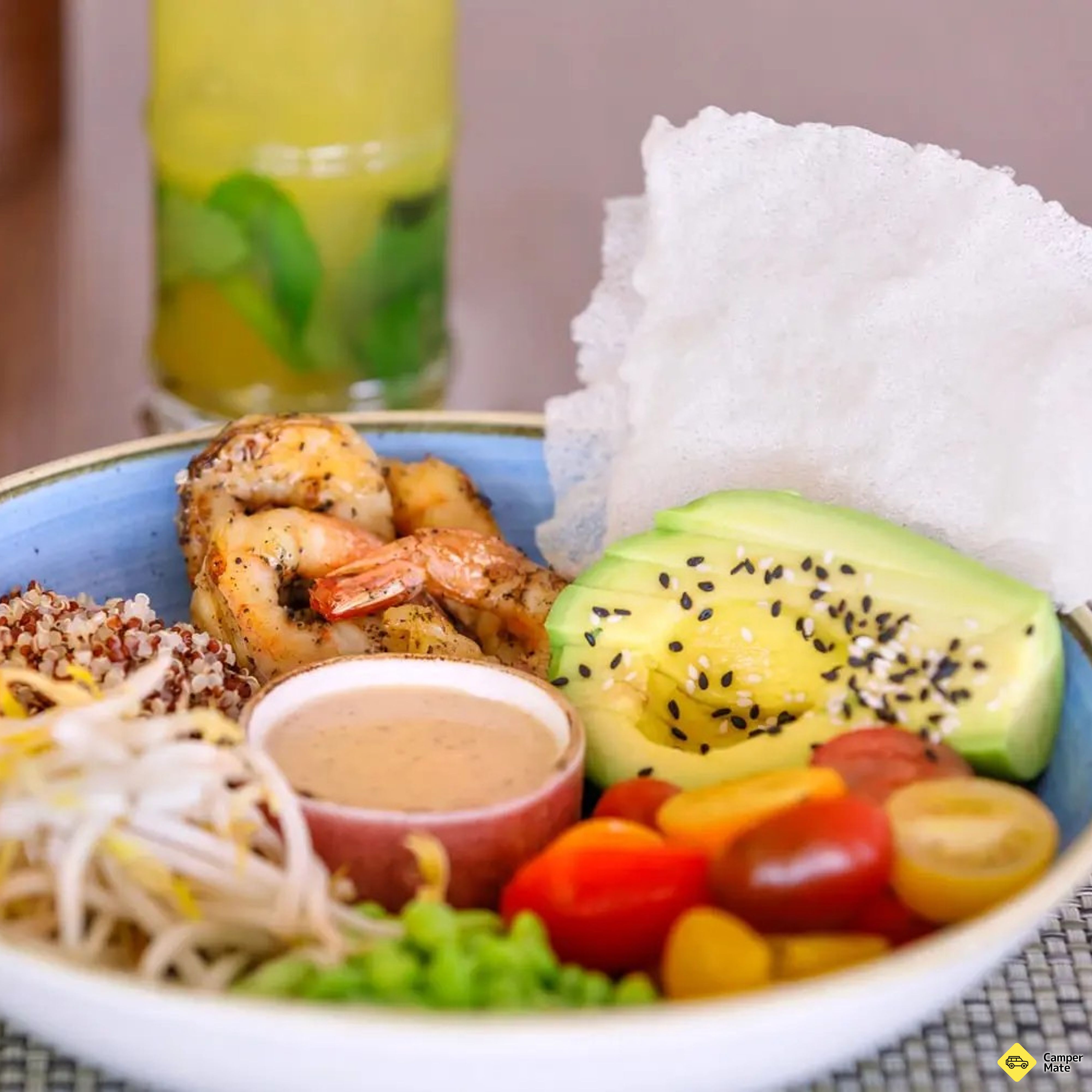
    • Tali WiruFood & BeverageThe contrast between the spectacular natural setting and the world-class gastronomic adventure on your plate is simply awe-inspiring. This…
    • Karu Lookout Scenic SpotsThe Karu lookout is a 1-hour return trip from the track, offering incredible views of the martian landscape surrounding Kata Tjuta. Distanc…
    • Karingana LookoutScenic SpotsThe Karingana lookout will take a 2.5-hour round trip to reach. Walk through the rubbly shade of these ancient rocks by following creekbeds…
  12. Field of Light UluruDay 12

    Day 12

    Uluṟu after dark

    Fifty thousand stems of light

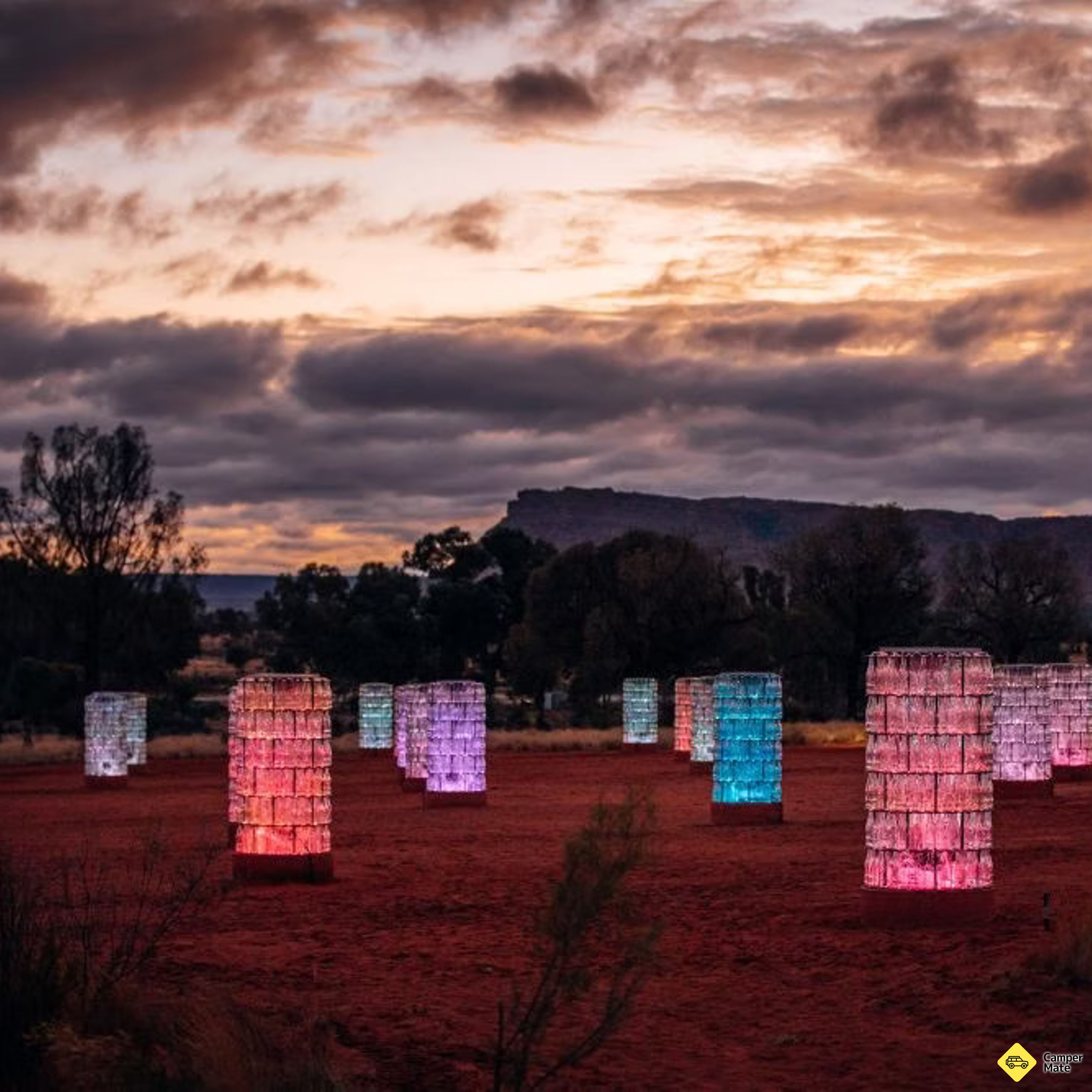
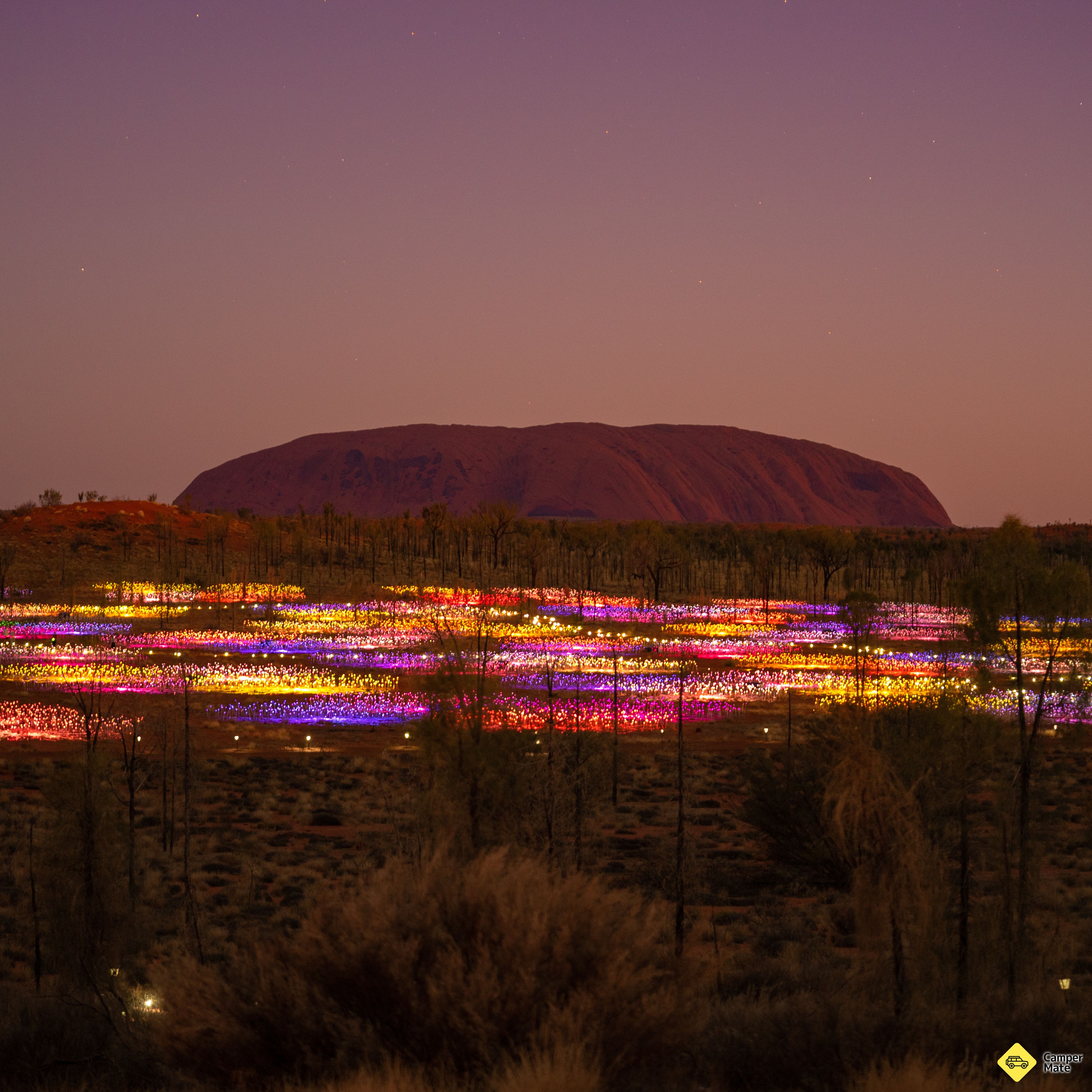
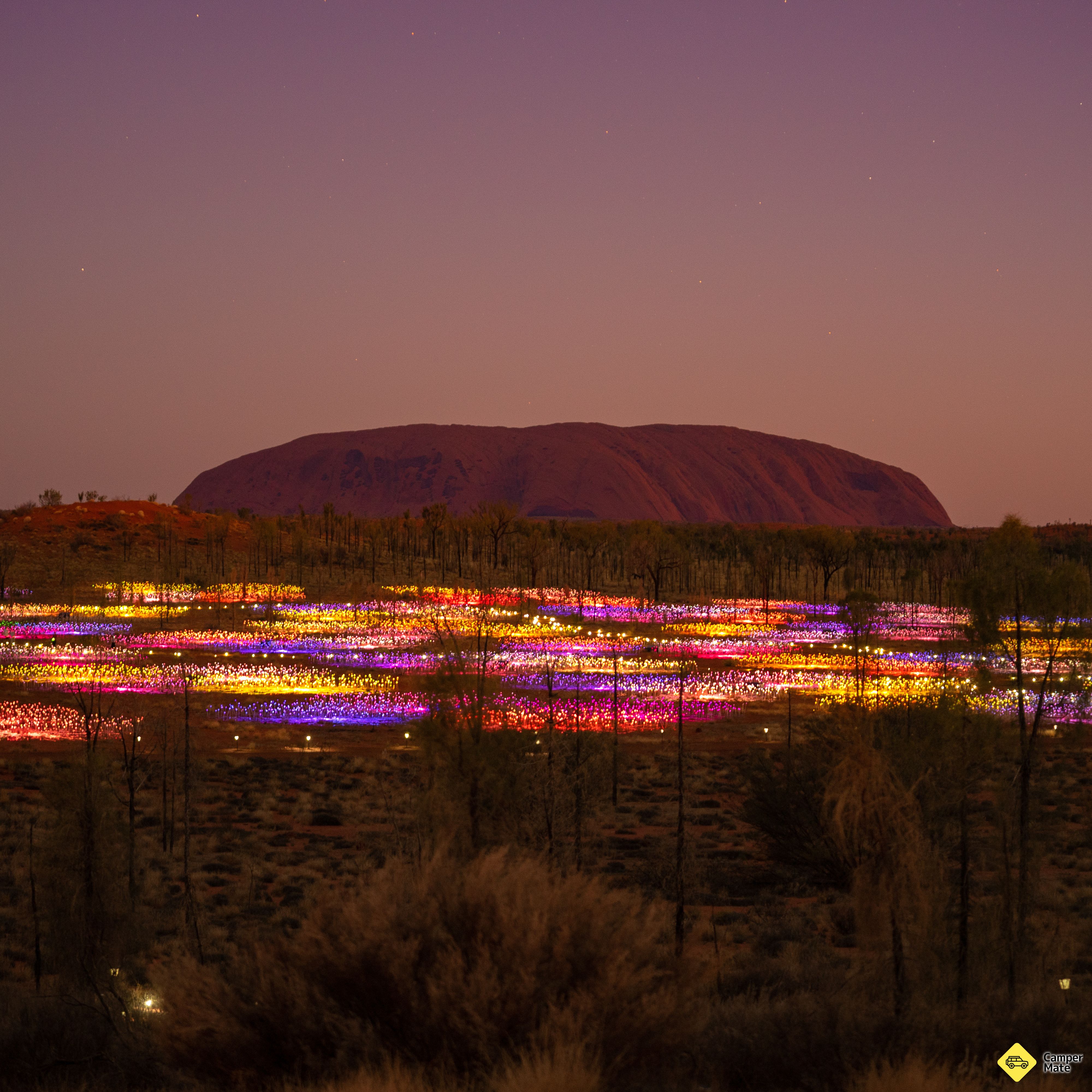
    The desert does two things well after sunset: stars, and the Field of Light installation spread across the dunes below the rock. Book the pre-dawn slot and you get both, then sunrise on the way out.

    • Field of Light UluruTourist AttractionsBookAs darkness falls and Uluru is thrown into silhouette, Field of Light illuminates. As far as the eye can see gentle rhythms of colour light…
    • Talinguṟu Nyakunytjaku - Uluṟu Sunrise Viewing AreaScenic SpotsThis is the primary location for watching the sunrise at Ulu·πüu. There are three shelters, two viewing platforms, and several kilometers…
    Where to camp tonight3
    • Kulgera Roadhouse & Caravan ParkPaid CampsitesBookKulgera Roadhouse & Caravan Park offers powered and unpowered sites suitable for vehicle based camping, camper trailers and caravans. Facil…
    • Finke River Rest AreaFree CampsitesSealed circular rest area on Stuart Hwy, next to Finke River. Toilet, bins and picnic tables available, some shade from trees. Located 12…
    • Old Andado Homestead CampingPaid CampsitesThe first inhabitants of Andado Station lived in a shelter of iron held up by a timber frame with cloth sides; they then progressed to a mu…
    Worth booking nearby3
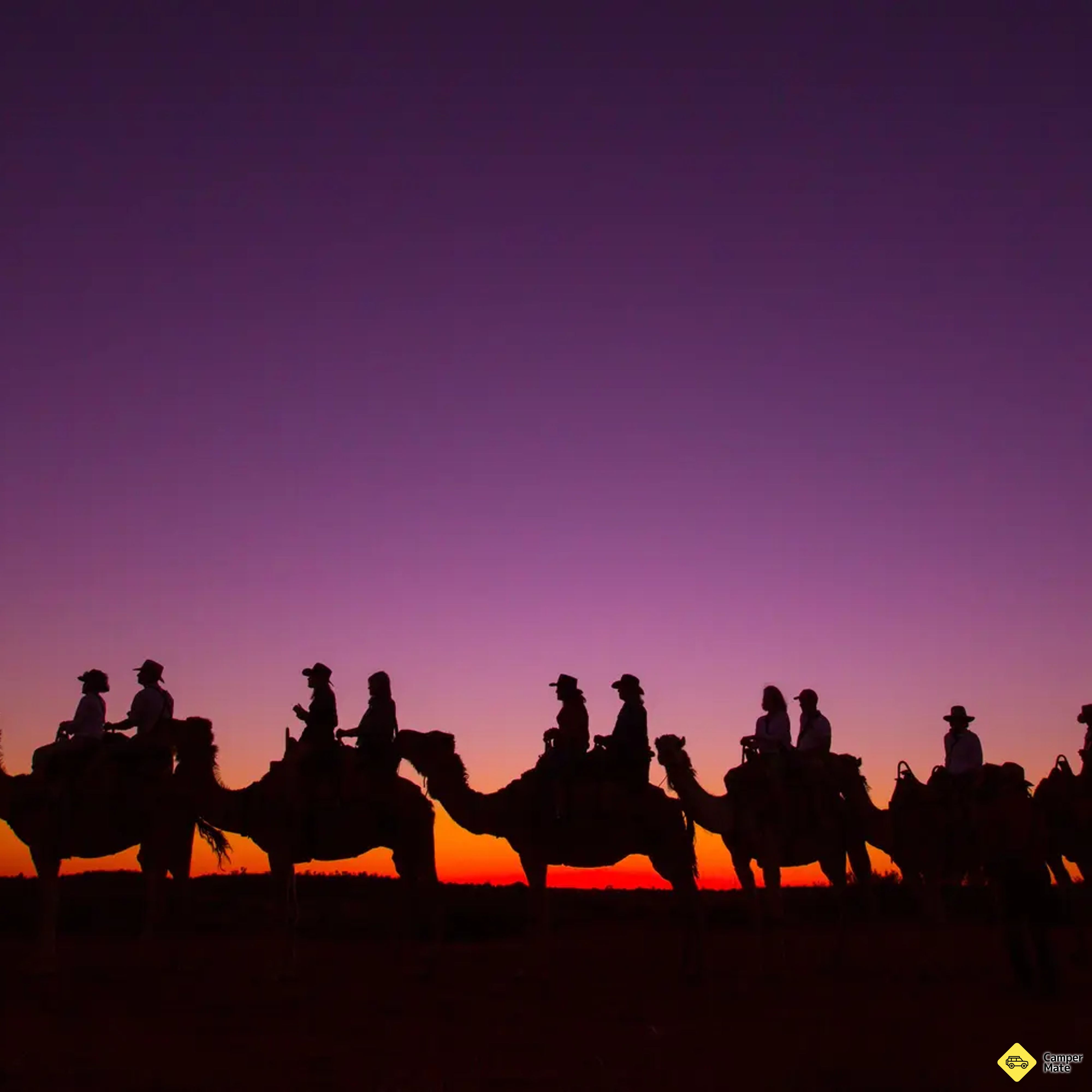
    • Camel to SunsetTourist AttractionsBookEnjoy a peaceful one hour camel ride with stunning views of Uluru and Kata Tjuta, and watch on as the colours of the desert landscape chang…
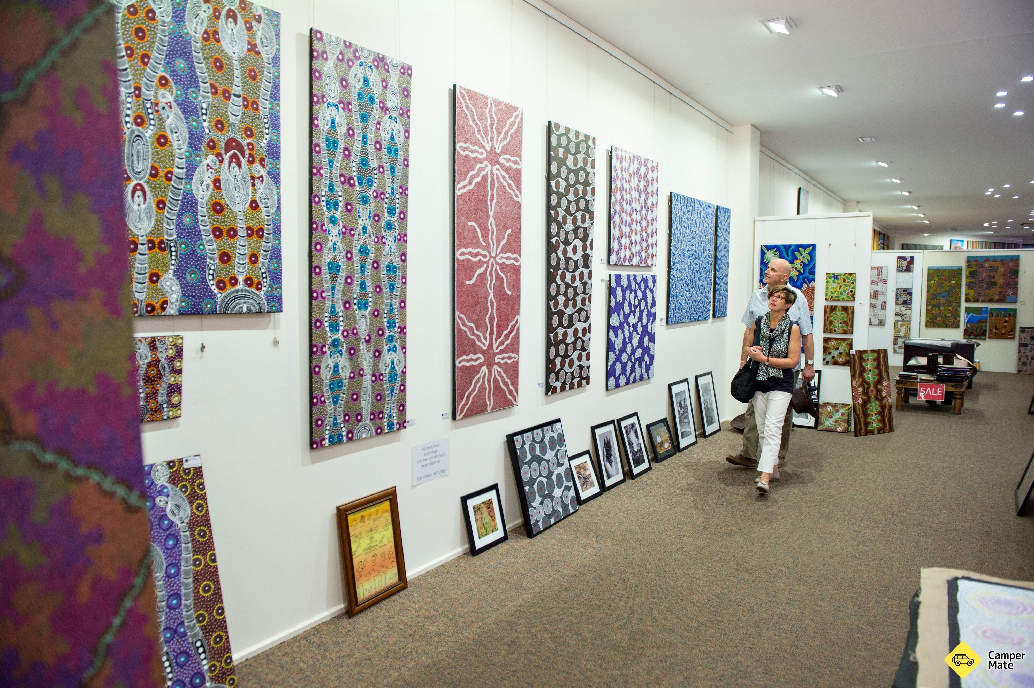
    • Gallery Of Central AustraliaTourist AttractionsBookAt the Gallery of Central Australia (GoCA), we celebrate creativity and culture. We aim to educate and inspire through revolving exhibition…
    • Sunrise Journeys - Culture and Nature at DawnTourist AttractionsBookAs the slow rising sun marks the day, a stunning piece of artwork, created by three local Anangu women comes to life through laser projecti…
  13. 85 km · 1 hr

    Day 13 · Drive

    Uluṟu → Curtin Springs

    A working station stop

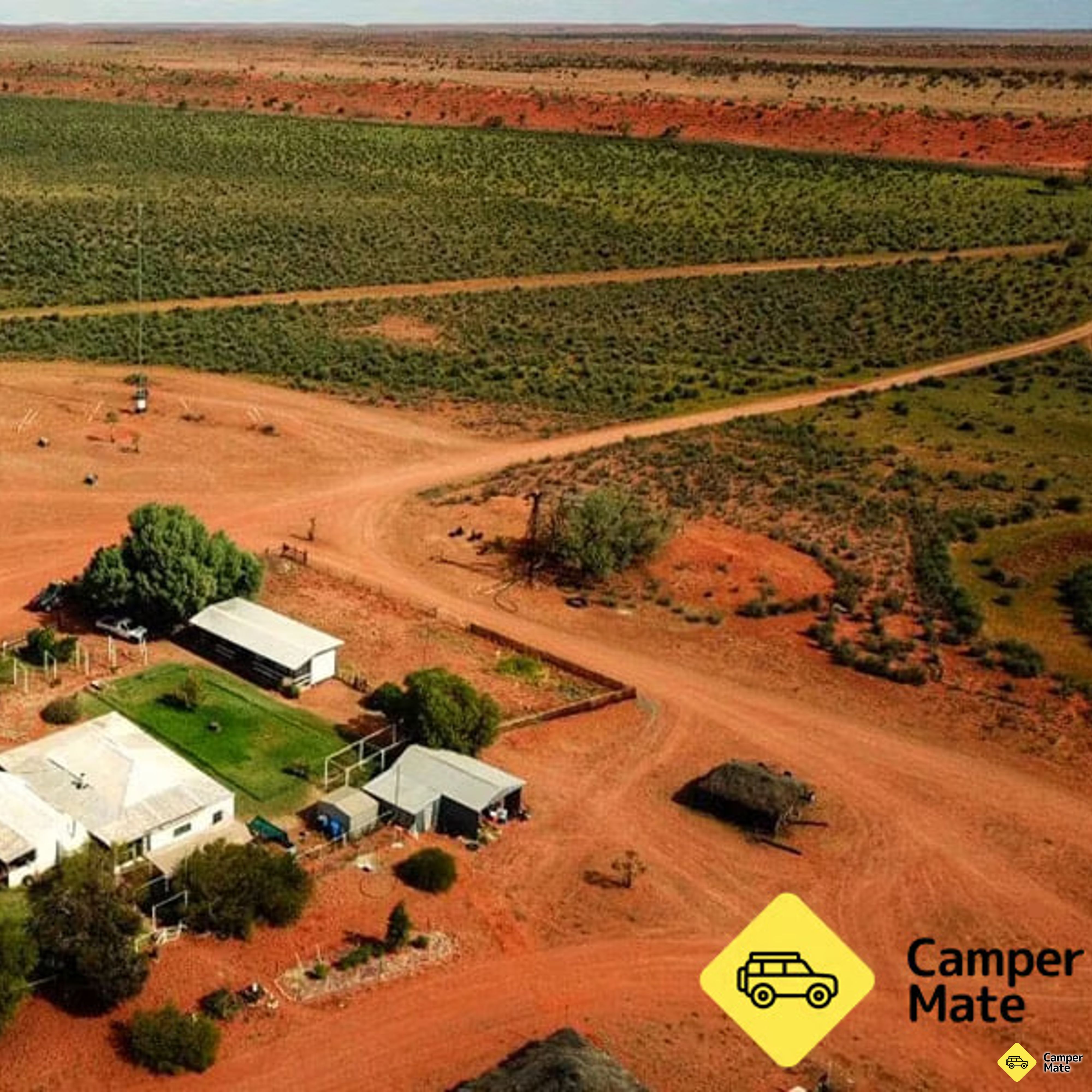
    Only an hour east, which makes it a soft landing after three days at the rock. Curtin Springs is a working cattle station with free camping, a paper mill that makes sheets out of native grasses, and Mount Conner filling the windscreen.

  14. 97 km · 1 hr 20 min
    Rainbow Valley Conservation ReserveDay 14

    Day 14 · Drive

    Rainbow Valley → Alice Springs

    Last light on the bluff

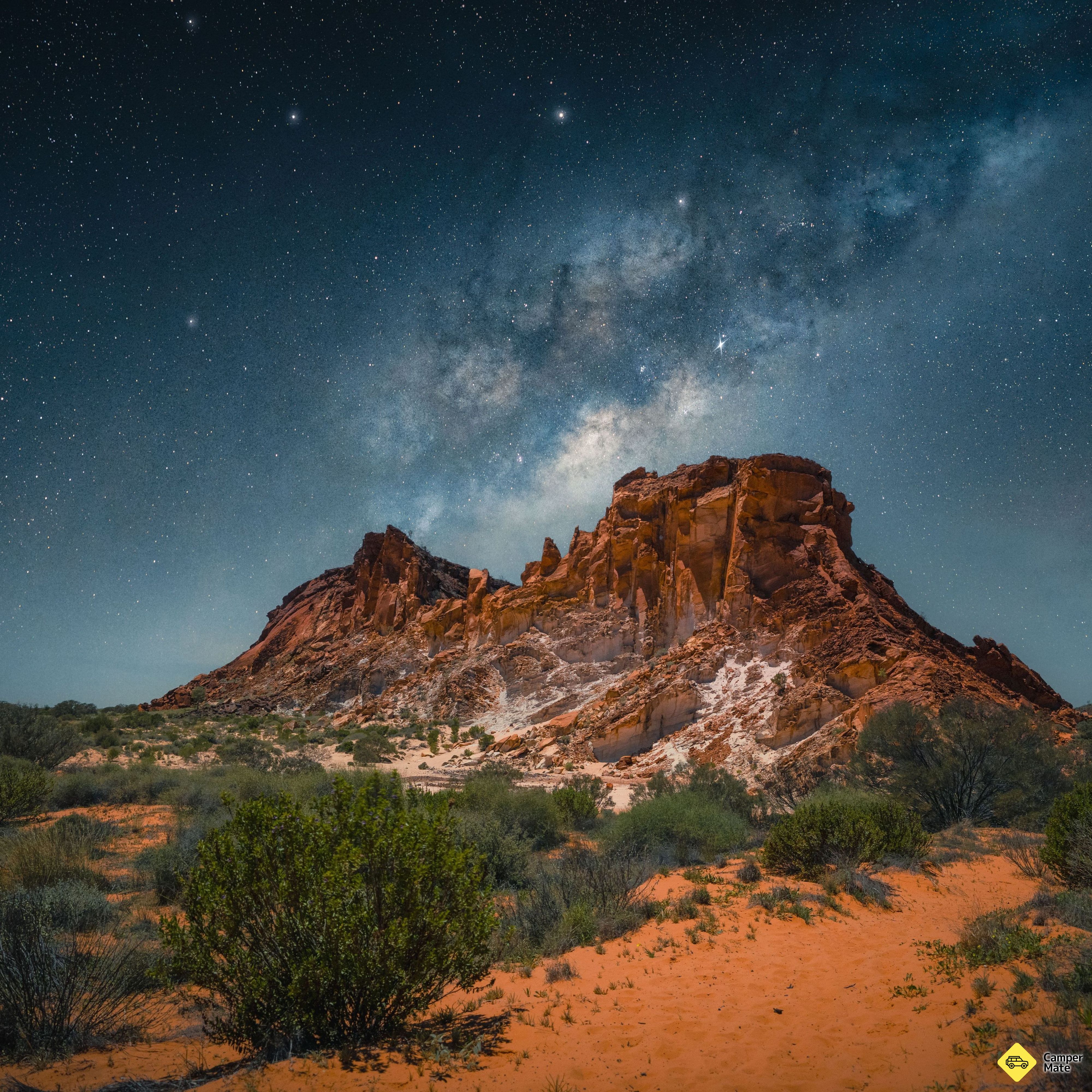
    Break the Stuart Highway run at Rainbow Valley, where the sandstone bluff bands orange through to cream and turns spectacular in the last hour of sun. Then the short hop back into Alice.

    • Rainbow Valley Conservation ReservePaid CampsitesI don't be able to go in campground but this one is just perfect to watch the sunset on the rainbow Valley ! There is 2 very shor…
    Clean toilets and camping area easily accessible. Took some nice pictures. Limited walking tracks but very peaceful to spend a few days relaxing. Had to book online. $10 pp.
    CamperMate traveller
    Where to camp tonight3
    • Ooraminna Station HomesteadPaid CampsitesBookWelcome to Ooraminna Station Homestead - An Authentic Outback Escape In the heart of Australia, Ooraminna Station Homestead offers a warm w…
    • Owen Springs Reserve 4WD Track and CampFree CampsitesOwen Springs Reserve is popular with four-wheel drive visitors seeking a quiet bush camp. The Hugh River runs the length of the reserve and…
    • Stuarts Well Roadhouse & Caravan ParkPaid CampsitesStuarts Well Roadhouse offers a small mini mart, barista coffee, petrol - opal, premium unleaded and diesel. We sell ice, souvenirs, clothi…

The road, for real

Every marker is a real place from the CamperMate map — the route and drive times are computed live.

There's more to the map than the stops

CamperMate maps every kind of place along this loop — campsites, swimming holes, walks, cultural sites, tours and more. Here are the top-rated in each.

207 on the route

Walking & Hiking27
1Yeperenye Emily and Jessie Gaps Nature Park and Rock Art
4Trephina Gorge Nature Park Short Walks
The Larapinta Trail
Tourist Attractions42
Earth Sanctuary World Nature Centre
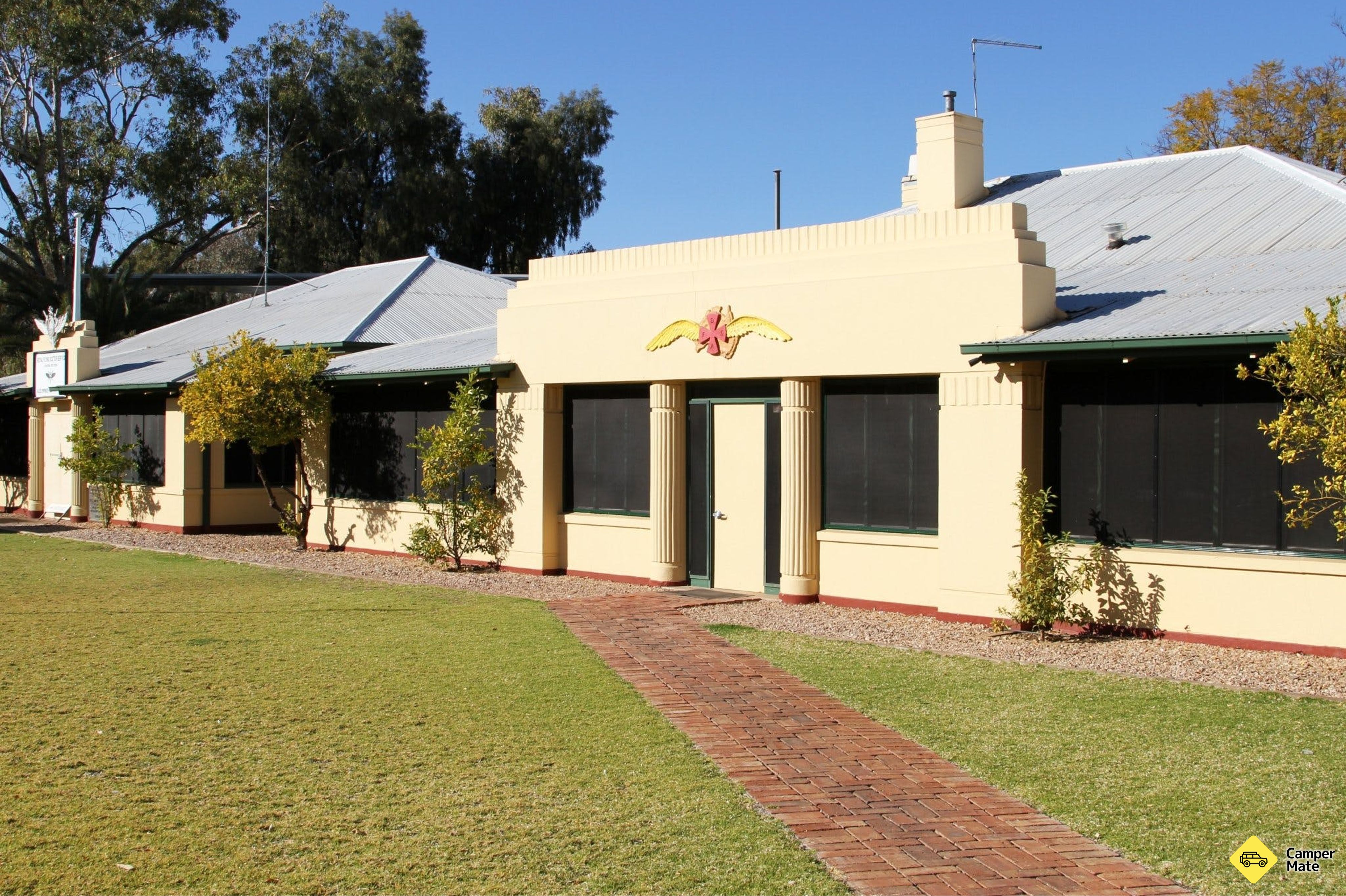
BookRoyal Flying Doctor Service Alice Springs Tourist Facility
BookWintjiri Wiru Twilight Tour
Cultural Places4
Araluen Arts Centre
1Maruku Arts - Aboriginal Cultural Workshop
5Uluru-Kata Tjuta Cultural Centre
Paid Campsites47
8BookAyers Rock Campground
Arltunga Bush Pub & Eco Retreat
42BookAlice Springs Tourist Park
Free Campsites28
2Lasseter Highway Rest Area
38Sandy Way Rest Area
Hugh River
Food & Beverage22
Tali Wiru
Under a Desert Moon
BookAlice Springs Brewery Co Tour
Museums4
Mbantua Cultural Museum
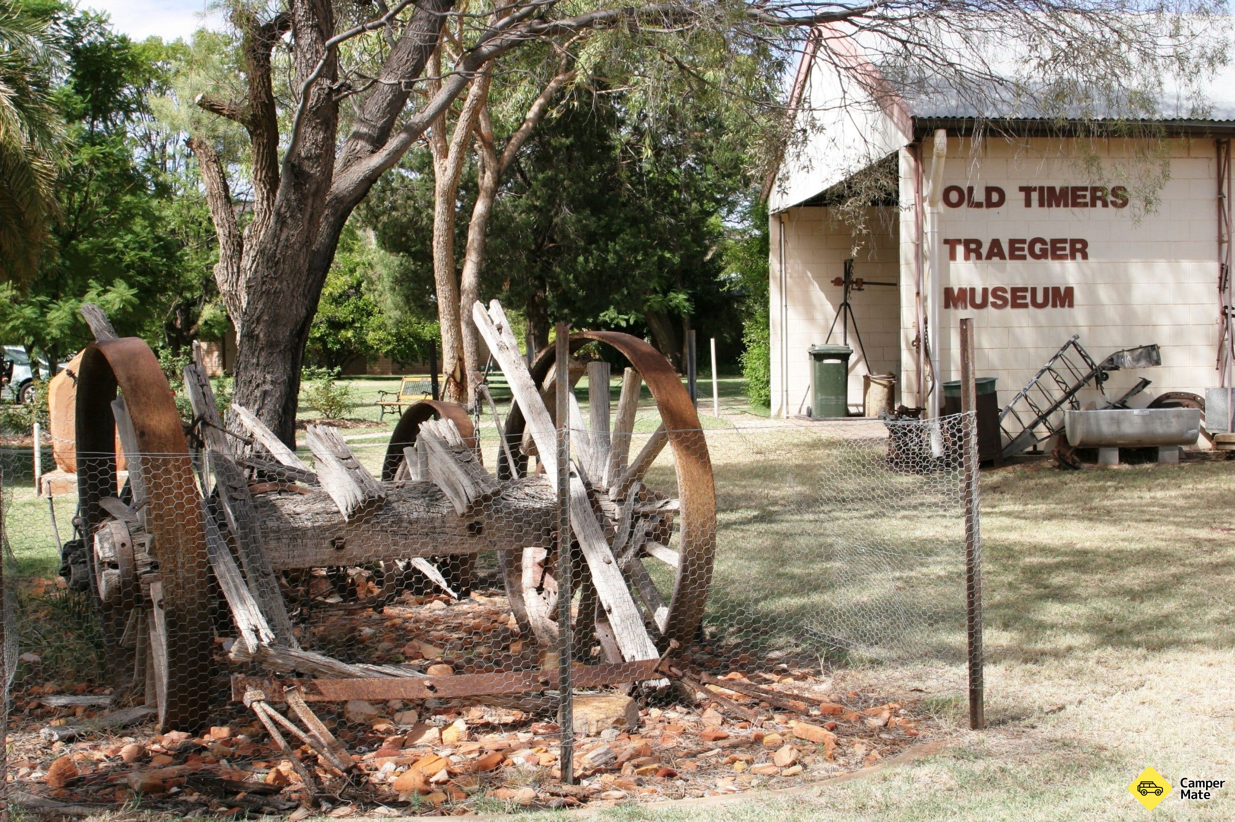
Old Timers Traeger Museum
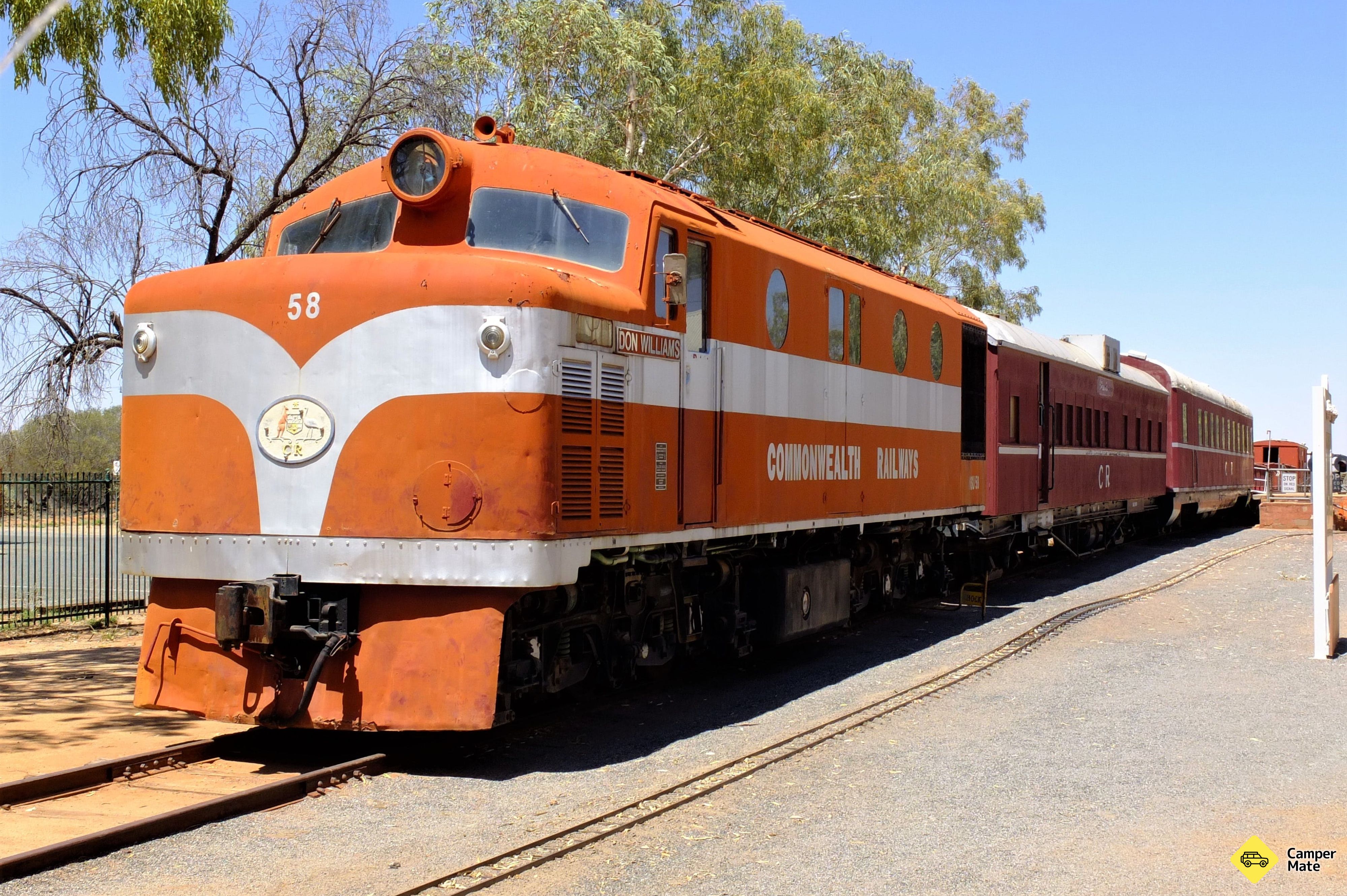
Old Ghan Heritage Railway and Museum
Scenic Flights6
BookProfessional Helicopter Services Uluru
BookUluru & Kata Tjuta Helicopter Experience
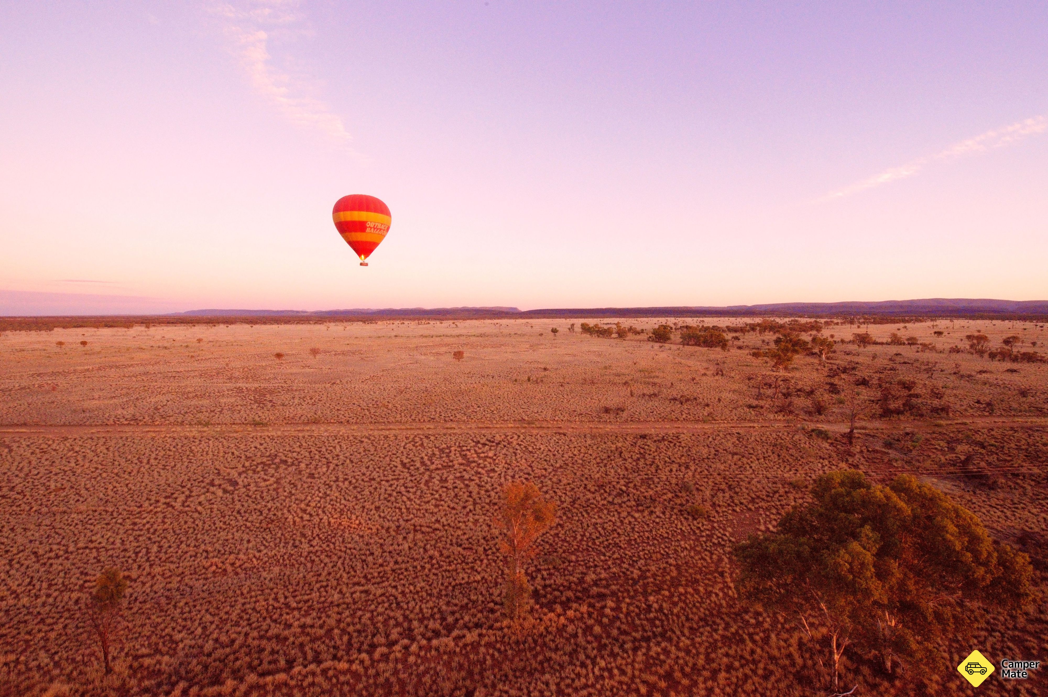
BookOutback Ballooning

Stories from the road

Guides, tips and traveller stories for this part of the country — read up before you go.

How long have you got?

Quotes are real reviews left on CamperMate by travellers who stopped here.